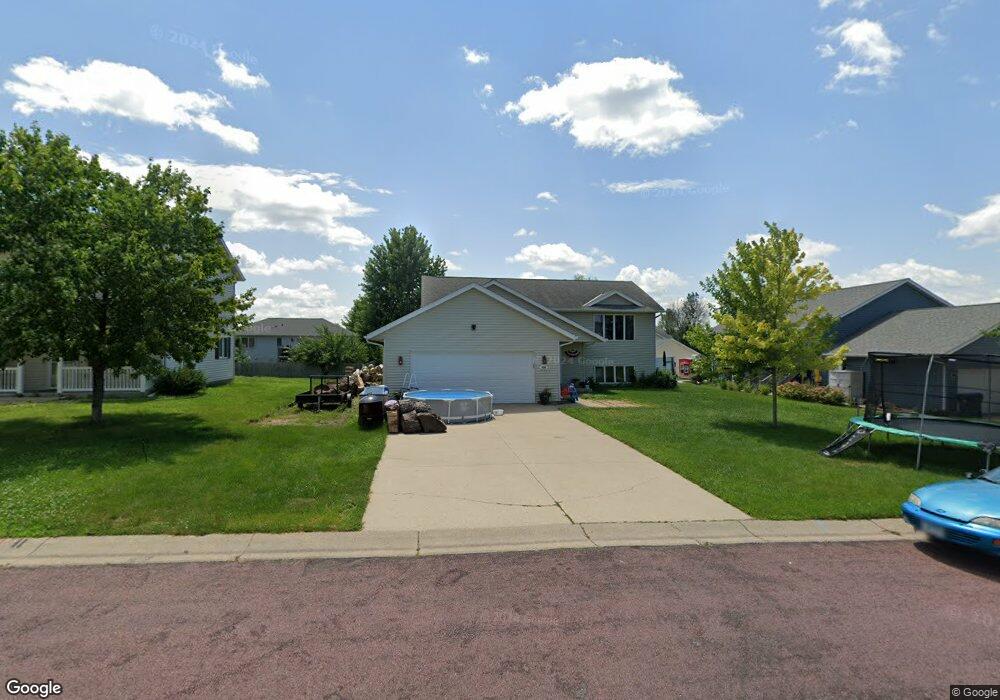
320 Cole Ct Mankato, MN 56001
Buscher Park NeighborhoodEstimated Value: $306,000 - $344,000
3
Beds
2
Baths
1,968
Sq Ft
$164/Sq Ft
Est. Value
About This Home
This home is located at 320 Cole Ct, Mankato, MN 56001 and is currently estimated at $323,287, approximately $164 per square foot. 320 Cole Ct is a home located in Blue Earth County with nearby schools including Rosa Parks Elementary School, Prairie Winds Middle School, and Mankato East Senior High School.
Ownership History
Date
Name
Owned For
Owner Type
Purchase Details
Closed on
Aug 8, 2011
Sold by
Deutsche Bank National Trust Company
Bought by
Schaeffer Desiree A and Schaeffer Luke J
Current Estimated Value
Home Financials for this Owner
Home Financials are based on the most recent Mortgage that was taken out on this home.
Original Mortgage
$152,532
Interest Rate
4.59%
Mortgage Type
FHA
Create a Home Valuation Report for This Property
The Home Valuation Report is an in-depth analysis detailing your home's value as well as a comparison with similar homes in the area
Home Values in the Area
Average Home Value in this Area
Purchase History
| Date | Buyer | Sale Price | Title Company |
|---|---|---|---|
| Schaeffer Desiree A | $156,500 | -- |
Source: Public Records
Mortgage History
| Date | Status | Borrower | Loan Amount |
|---|---|---|---|
| Previous Owner | Schaeffer Desiree A | $152,532 |
Source: Public Records
Tax History
| Year | Tax Paid | Tax Assessment Tax Assessment Total Assessment is a certain percentage of the fair market value that is determined by local assessors to be the total taxable value of land and additions on the property. | Land | Improvement |
|---|---|---|---|---|
| 2025 | $2,876 | $280,300 | $35,400 | $244,900 |
| 2024 | $2,876 | $271,900 | $35,400 | $236,500 |
| 2023 | $2,954 | $274,600 | $35,400 | $239,200 |
| 2022 | $2,594 | $263,000 | $35,400 | $227,600 |
| 2021 | $2,568 | $218,700 | $35,400 | $183,300 |
| 2020 | $2,412 | $203,900 | $35,400 | $168,500 |
| 2019 | $2,242 | $203,900 | $35,400 | $168,500 |
| 2018 | $2,052 | $191,100 | $32,200 | $158,900 |
| 2017 | $1,814 | $177,900 | $32,200 | $145,700 |
| 2016 | $1,768 | $167,200 | $32,200 | $135,000 |
| 2015 | $17 | $164,400 | $32,200 | $132,200 |
| 2014 | $1,764 | $157,600 | $32,200 | $125,400 |
Source: Public Records
Map
Nearby Homes
- 113 Sunburst Cir
- 108 Ella Ct
- TBD Woodridge
- 216 S Brook Cir
- 111 Newton St
- 436 W Hudson Ave
- 112 Saint Ann St
- 300 Viking Dr
- 0 Oak Marsh Dr
- 317 Oak Marsh Dr
- 136 Quail Path
- 2 A Madison Ave
- 128 Oak Marsh Dr
- 100 Tattler Ln
- 248 Quail Path
- 0 Applewood Ct
- 105 Swan Ln
- 315 Floral Ave
- 27 Capri Dr
- 104 Blue Bird Path
- 205 Maverick Dr
- 316 Cole Ct
- 104 Copperfield Dr
- 312 Cole Ct
- 108 Copperfield Dr
- 201 Maverick Dr
- 317 Cole Ct
- 221 Maverick Dr
- 112 Copperfield Dr
- 313 Cole Ct
- 308 Cole Ct
- 204 Maverick Dr
- 204 Maverick Dr Unit 204 Maverick Drive
- 208 Dr
- 212 Maverick Dr
- 208 Maverick Dr
- 309 Cole Ct
- 116 Copperfield Dr
- 200 Maverick Dr
- 216 Maverick Dr
Your Personal Tour Guide
Ask me questions while you tour the home.