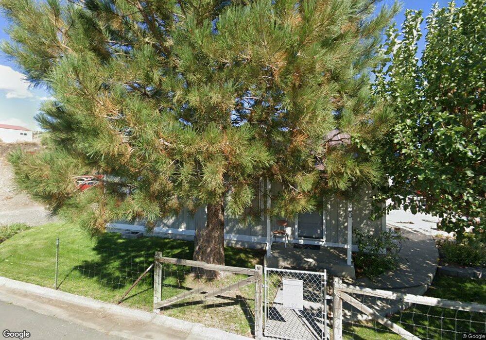
320 Council Dr Mount Vernon, OR 97865
Estimated Value: $187,321 - $229,000
--
Bed
--
Bath
1,108
Sq Ft
$191/Sq Ft
Est. Value
About This Home
This home is located at 320 Council Dr, Mount Vernon, OR 97865 and is currently estimated at $212,080, approximately $191 per square foot. 320 Council Dr is a home with nearby schools including Grant Union Junior/Senior High School.
Create a Home Valuation Report for This Property
The Home Valuation Report is an in-depth analysis detailing your home's value as well as a comparison with similar homes in the area
Home Values in the Area
Average Home Value in this Area
Tax History Compared to Growth
Tax History
| Year | Tax Paid | Tax Assessment Tax Assessment Total Assessment is a certain percentage of the fair market value that is determined by local assessors to be the total taxable value of land and additions on the property. | Land | Improvement |
|---|---|---|---|---|
| 2024 | $962 | $65,956 | $20,090 | $45,866 |
| 2023 | $932 | $64,035 | $19,507 | $44,528 |
| 2022 | $906 | $62,170 | $18,941 | $43,229 |
| 2021 | $882 | $60,360 | $18,387 | $41,973 |
| 2020 | $927 | $58,602 | $17,852 | $40,750 |
| 2019 | $901 | $56,896 | $17,329 | $39,567 |
| 2018 | $875 | $55,239 | $15,139 | $40,100 |
| 2017 | $856 | $53,631 | $14,697 | $38,934 |
| 2016 | $832 | $52,069 | $14,266 | $37,803 |
| 2015 | $811 | $49,081 | $13,451 | $35,630 |
| 2014 | $811 | $49,081 | $13,451 | $35,630 |
| 2013 | $763 | $47,652 | $13,058 | $34,594 |
Source: Public Records
Map
Nearby Homes
- 251 SE Council Dr
- 54797 U S Highway 26
- 210 Mountain Blvd
- 410 N Mountain Blvd
- 809 Ingle St
- 440 N Mountain Blvd
- 55550 McKern Ln
- 54797 U S 26
- 59720 Highway 26
- 58392 Antelope Ln
- 0 Hwy 395 Unit 220203788
- 0 Hwy 395 Unit 603386933
- 59920 Highway 26
- 59920 Hwy 26
- 31367 Clarks Creek Rd
- 27637 La Costa Rd
- 27637 La Costa Ave
- 59591 High Ridge Ln
- 0 E Side Ln Unit 201102803
- 0 County Rd 74b Unit 11554207