Estimated Value: $123,250 - $228,000
--
Bed
1
Bath
748
Sq Ft
$252/Sq Ft
Est. Value
About This Home
This home is located at 320 Flint Branch Church Rd, Jesup, GA 31545 and is currently estimated at $188,313, approximately $251 per square foot. 320 Flint Branch Church Rd is a home located in Wayne County with nearby schools including Bacon Elementary School, Martha Puckett Middle School, and Wayne County High School.
Ownership History
Date
Name
Owned For
Owner Type
Purchase Details
Closed on
Sep 7, 2017
Sold by
Bryant Lori
Bought by
Starling Jimmy H
Current Estimated Value
Purchase Details
Closed on
Dec 1, 1997
Sold by
Starling Johnnie T
Create a Home Valuation Report for This Property
The Home Valuation Report is an in-depth analysis detailing your home's value as well as a comparison with similar homes in the area
Home Values in the Area
Average Home Value in this Area
Purchase History
| Date | Buyer | Sale Price | Title Company |
|---|---|---|---|
| Starling Jimmy H | -- | -- | |
| Bryant Lori | -- | -- | |
| -- | $42,000 | -- |
Source: Public Records
Tax History Compared to Growth
Tax History
| Year | Tax Paid | Tax Assessment Tax Assessment Total Assessment is a certain percentage of the fair market value that is determined by local assessors to be the total taxable value of land and additions on the property. | Land | Improvement |
|---|---|---|---|---|
| 2024 | $301 | $44,562 | $22,864 | $21,698 |
| 2023 | $1,257 | $41,913 | $22,864 | $19,049 |
| 2022 | $270 | $38,204 | $22,864 | $15,340 |
| 2021 | $224 | $33,966 | $22,864 | $11,102 |
| 2020 | $396 | $28,426 | $17,324 | $11,102 |
| 2019 | $152 | $27,898 | $17,324 | $10,574 |
| 2018 | $150 | $27,898 | $17,324 | $10,574 |
| 2017 | $113 | $29,294 | $18,720 | $10,574 |
| 2016 | $103 | $29,294 | $18,720 | $10,574 |
| 2014 | $279 | $30,137 | $18,720 | $11,417 |
| 2013 | -- | $11,417 | $0 | $11,417 |
Source: Public Records
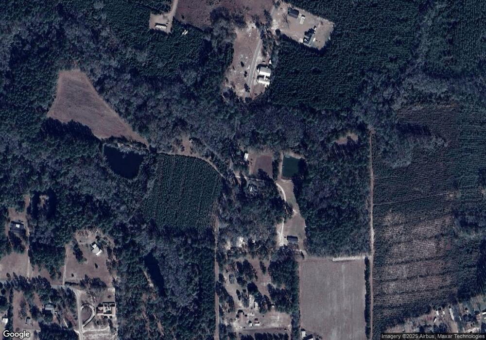
Map
Nearby Homes
- 129 Norris Dr
- 3808 Waycross Hwy
- 1351 Old Screven Rd
- 168 Nature Cir
- 188 Bennetts Cir
- 675 Foxwood Cir
- 1435 Bennett Crossing
- 1361 Joey Williamson Rd
- 1361 Joey Williamson Rd Jesup Ga
- 113 Tift St
- TRACT 1 Sunset Blvd
- 00 Sunset Blvd
- 0 Sunset Blvd
- TRACT 2 Sunset Blvd
- 118 Charlton St
- 168 Pierce St
- 00 Photonia Ave
- 125 Sugar Maple St
- 7014 Waycross Hwy
- 7114 Waycross Hwy
- 182 Flint Branch Church Rd
- 111 Flint Branch Church Rd
- 136 Flint Branch Church Rd
- 204 Norris Dr
- 350 Empire Rd
- 554 Flint Branch Church Rd
- 132 Norris Dr
- 44 Flint Branch Church Rd
- 196 Empire Rd
- 212 Empire Rd
- 178 Empire Rd
- 405 Empire Rd
- 100 Norris Dr
- 160 Empire Rd Unit 484
- 252 Norris Dr
- 245 Empire Rd
- 126 Empire Rd
- 661 Flint Branch Church Rd
- 102 Empire Rd
- 110 Empire Rd