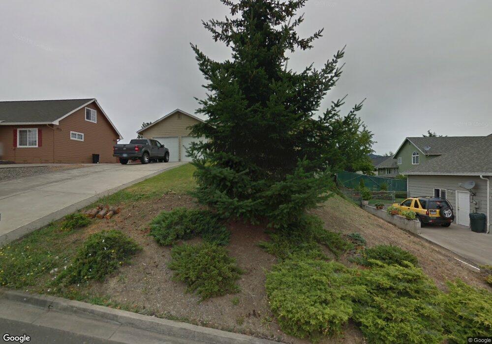
320 Jamie Loop Roseburg, OR 97471
Green NeighborhoodEstimated Value: $404,000 - $470,000
About This Home
This home is located at 320 Jamie Loop, Roseburg, OR 97471 and is currently estimated at $431,832, approximately $203 per square foot. 320 Jamie Loop is a home located in Douglas County with nearby schools including Green Elementary School, John C. Fremont Middle School, and Roseburg High School.
Ownership History
We collect this data history from publicly available records. To have your information removed, we recommend requesting removal directly through your county’s website.
Purchase Details
Home Financials for this Owner
Home Financials are based on the most recent Mortgage that was taken out on this home.Home Values in the Area
Average Home Value in this Area
Purchase History
We collect this data history from publicly available records. To have your information removed, we recommend requesting removal directly through your county’s website.
| Date | Buyer | Sale Price | Title Company |
|---|---|---|---|
| $240,000 | Ticor Title |
Mortgage History
We collect this data history from publicly available records. To have your information removed, we recommend requesting removal directly through your county’s website.
| Date | Status | Borrower | Loan Amount |
|---|---|---|---|
| Open | $235,653 |
Tax History
We collect this data history from publicly available records. To have your information removed, we recommend requesting removal directly through your county’s website.
| Year | Tax Paid | Tax Assessment Tax Assessment Total Assessment is a certain percentage of the fair market value that is determined by local assessors to be the total taxable value of land and additions on the property. | Land | Improvement |
|---|---|---|---|---|
| 2025 | $2,875 | $307,291 | -- | -- |
| 2024 | $2,791 | $298,341 | -- | -- |
| 2023 | $2,710 | $289,652 | $0 | $0 |
| 2022 | $2,631 | $281,216 | $0 | $0 |
| 2021 | $2,554 | $273,026 | $0 | $0 |
| 2020 | $2,579 | $265,074 | $0 | $0 |
| 2019 | $2,532 | $257,354 | $0 | $0 |
| 2018 | $2,472 | $249,859 | $0 | $0 |
| 2017 | $2,399 | $242,582 | $0 | $0 |
| 2016 | $2,355 | $235,517 | $0 | $0 |
| 2015 | $2,314 | $228,658 | $0 | $0 |
| 2014 | $2,248 | $222,661 | $0 | $0 |
| 2013 | -- | $220,812 | $0 | $0 |
Map
- 439 Chandler Dr
- 208 Jamie Loop
- 1993 Linnell Ave
- 2205 Landers Ave
- 200 Emils Way Unit 45
- 4913 Melody Ln
- 261 Braxton Ct
- 4885 SW Grange Rd
- 4807 SW Grange Rd
- 10 Carmel Ct
- 153 Quincy Ave
- 261 Bobwhite St
- 2548 Landers Ave
- 5123 Melody Ln
- 5137 Grange Rd
- 1911 Palos Verdes Dr
- 4216 Stella St
- 2082 Bel Air Ct
- 274 Georginna Dr
- 807 Callahan Dr
- 310 Jamie Loop
- 0 Jamie Loop
- 256 Jamie Loop
- 248 Jamie Loop
- 478 Chandler Dr
- 496 Chandler Dr
- 506 Chandler Dr
- 236 S Savoy Ct
- 317 Jamie Loop
- 312 S Savoy Ct
- 305 Jamie Loop
- 274 Jamie Loop
- 440 Chandler Dr
- 0 Jamie Loop Lt34
- 404 S Savoy Ct
- 287 Jamie Loop
- 245 Jamie Loop
- 485 Chandler Dr
- 471 Chandler Dr
- 496 S Savoy Ct
Ask me questions while you tour the home.