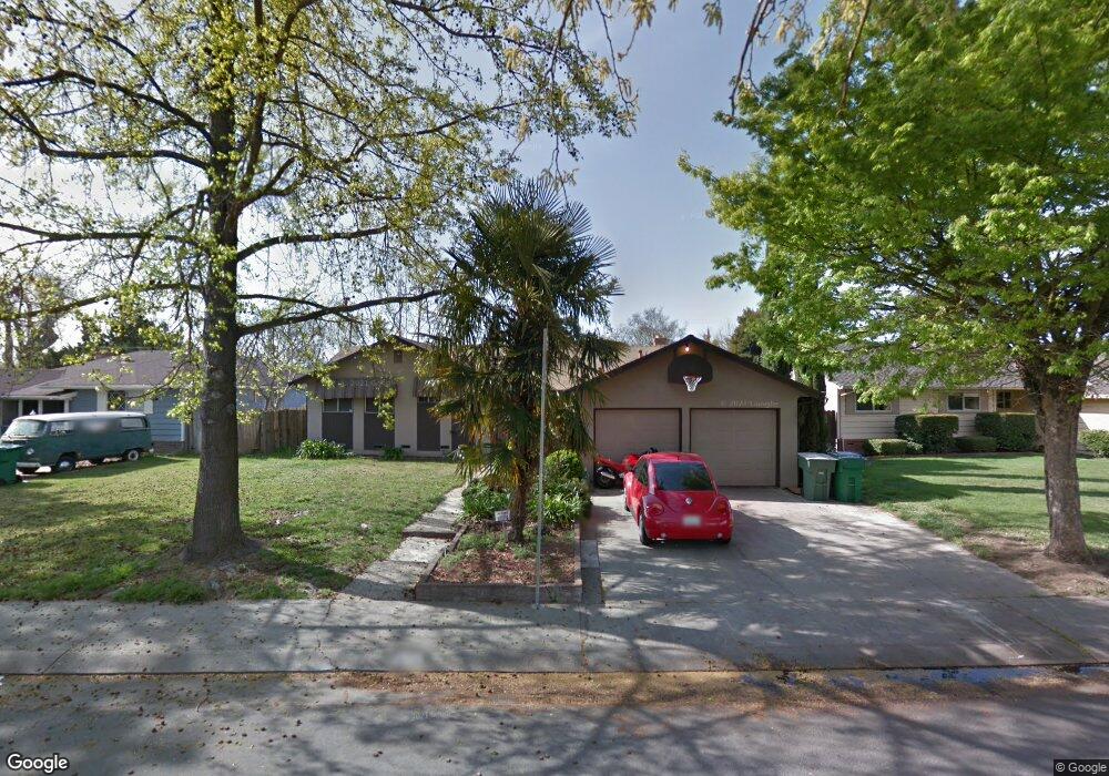
320 Leslie Ave Stockton, CA 95207
Lincoln Village NeighborhoodEstimated Value: $313,000 - $485,000
3
Beds
3
Baths
1,810
Sq Ft
$226/Sq Ft
Est. Value
About This Home
This home is located at 320 Leslie Ave, Stockton, CA 95207 and is currently estimated at $409,642, approximately $226 per square foot. 320 Leslie Ave is a home located in San Joaquin County with nearby schools including Maxine Hong Kingston Elementary School, Pulliam Elementary School, and Adams Elementary School.
Ownership History
Date
Name
Owned For
Owner Type
Purchase Details
Closed on
Dec 30, 2013
Sold by
Brannon Jerold F and Brannon Judith L
Bought by
Jerold & Judith Brannon Family Trust and Brannon Judith L
Current Estimated Value
Create a Home Valuation Report for This Property
The Home Valuation Report is an in-depth analysis detailing your home's value as well as a comparison with similar homes in the area
Home Values in the Area
Average Home Value in this Area
Purchase History
We collect this data history from publicly available records. To have your information removed, we recommend requesting removal directly through your county’s website.
| Date | Buyer | Sale Price | Title Company |
|---|---|---|---|
| Jerold & Judith Brannon Family Trust | -- | None Available |
Source: Public Records
Tax History
| Year | Tax Paid | Tax Assessment Tax Assessment Total Assessment is a certain percentage of the fair market value that is determined by local assessors to be the total taxable value of land and additions on the property. | Land | Improvement |
|---|---|---|---|---|
| 2025 | $1,426 | $110,686 | $18,476 | $92,210 |
| 2024 | $1,403 | $108,516 | $18,114 | $90,402 |
| 2023 | $1,372 | $106,389 | $17,759 | $88,630 |
| 2022 | $1,322 | $104,304 | $17,411 | $86,893 |
| 2021 | $1,270 | $102,260 | $17,070 | $85,190 |
| 2020 | $1,294 | $101,212 | $16,895 | $84,317 |
| 2019 | $1,289 | $99,228 | $16,564 | $82,664 |
| 2018 | $1,265 | $97,284 | $16,240 | $81,044 |
| 2017 | $1,199 | $95,377 | $15,922 | $79,455 |
| 2016 | $1,221 | $93,508 | $15,610 | $77,898 |
| 2015 | $1,220 | $92,102 | $15,375 | $76,727 |
| 2014 | $1,162 | $90,299 | $15,074 | $75,225 |
Source: Public Records
Map
Nearby Homes
- 204 Edan Ave Unit 7
- 108 Marilyn Ave
- 127 W Loretta Ave
- 36 Lynda Ave
- 518 W Lincoln Rd
- 121 W Benjamin Holt Dr
- 6828 Rosario Ct
- 310 Berrendo Ln
- 453 453 Jill Cir
- 7010 Hemet Ave
- 1012 Leaf Ave
- 6933 Kermit Ln
- 414 Jill Cir
- 204 Duncan Ave
- 6111 Brea Ave
- 6024 N Alturas Ave
- 731 Loretta Ct
- 1006 W Benjamin Holt Dr
- 115 W Swain Rd
- 8024 Albany Dr
- 304 Leslie Ave
- 312 Leslie Ave
- 234 Leslie Ave Unit 6
- 315 Alturas Ave Unit 3
- 309 Alturas Ave
- 226 Leslie Ave
- 321 Alturas Ave
- 305 Leslie Ave
- 313 Leslie Ave Unit 6
- 303 Alturas Ave
- 235 Leslie Ave
- 321 Leslie Ave
- 328 Leslie Ave
- 218 Leslie Ave
- 327 Alturas Ave
- 227 Leslie Ave
- 237 Alturas Ave
- 329 Leslie Ave
- 337 Leslie Ave
- 336 Leslie Ave
Your Personal Tour Guide
Ask me questions while you tour the home.