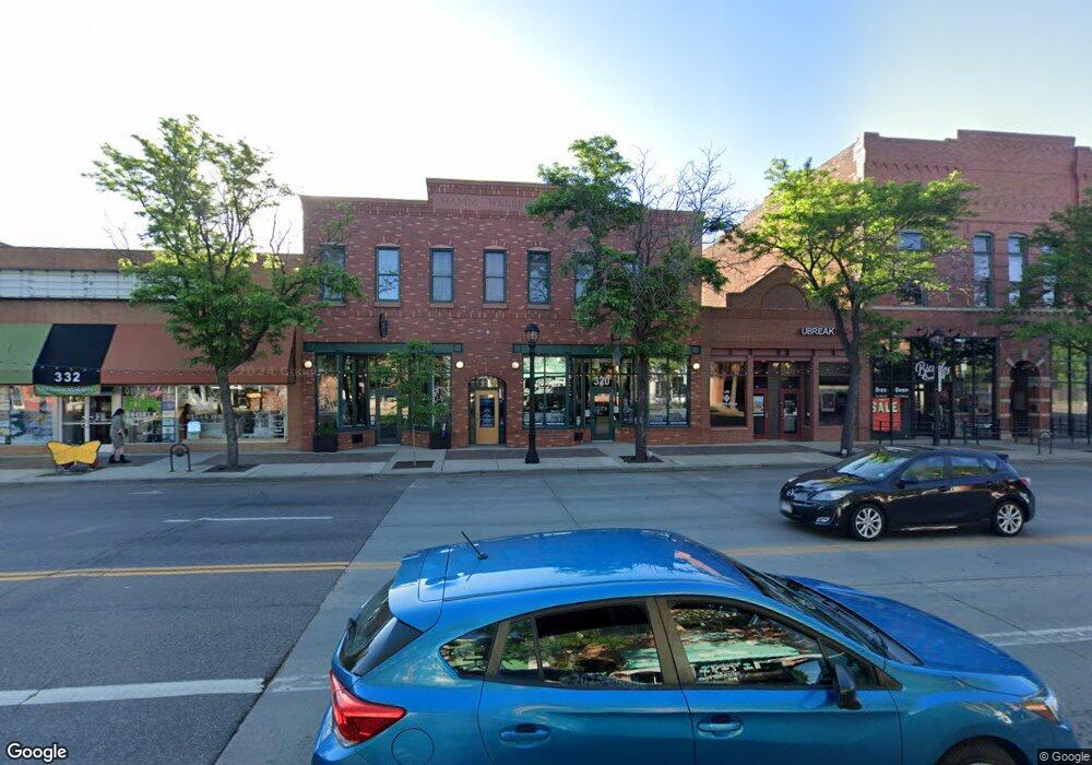
320 Main St Longmont, CO 80501
Business District NeighborhoodEstimated Value: $191,161 - $601,000
1
Bed
--
Bath
4,700
Sq Ft
$89/Sq Ft
Est. Value
About This Home
This home is located at 320 Main St, Longmont, CO 80501 and is currently estimated at $417,290, approximately $88 per square foot. 320 Main St is a home located in Boulder County with nearby schools including Columbine Elementary School, Trail Ridge Middle School, and Skyline High School.
Ownership History
Date
Name
Owned For
Owner Type
Purchase Details
Closed on
Apr 25, 2007
Sold by
Finn L Francis and Estate Of Barbara Finn
Bought by
Gibson R Brereton
Current Estimated Value
Purchase Details
Closed on
Feb 23, 2004
Sold by
Gibson Robert W
Bought by
Gibson R Brereton
Purchase Details
Closed on
Jun 25, 1990
Bought by
Bailey Brenda Gibson R and Bailey Brenda
Purchase Details
Closed on
Jul 12, 1982
Bought by
Bailey Brenda Gibson R and Bailey Brenda
Purchase Details
Closed on
Sep 13, 1968
Bought by
Bailey Brenda Gibson R and Bailey Brenda
Create a Home Valuation Report for This Property
The Home Valuation Report is an in-depth analysis detailing your home's value as well as a comparison with similar homes in the area
Home Values in the Area
Average Home Value in this Area
Purchase History
| Date | Buyer | Sale Price | Title Company |
|---|---|---|---|
| Gibson R Brereton | -- | None Available | |
| Gibson R Brereton | -- | -- | |
| Bailey Brenda Gibson R | -- | -- | |
| Bailey Brenda Gibson R | -- | -- | |
| Bailey Brenda Gibson R | -- | -- |
Source: Public Records
Tax History Compared to Growth
Tax History
| Year | Tax Paid | Tax Assessment Tax Assessment Total Assessment is a certain percentage of the fair market value that is determined by local assessors to be the total taxable value of land and additions on the property. | Land | Improvement |
|---|---|---|---|---|
| 2025 | $693 | $466,182 | $88,371 | $377,811 |
| 2024 | $494 | $7,673 | $856 | $6,817 |
| 2023 | $486 | $5,661 | $1,085 | $8,261 |
| 2022 | $693 | $7,509 | $688 | $6,821 |
| 2021 | $609 | $7,726 | $708 | $7,018 |
| 2020 | $565 | $7,079 | $1,859 | $5,220 |
| 2019 | $556 | $7,079 | $1,859 | $5,220 |
| 2018 | $465 | $5,839 | $1,800 | $4,039 |
| 2017 | $451 | $6,456 | $1,990 | $4,466 |
| 2016 | $433 | $5,429 | $1,274 | $4,155 |
| 2015 | $408 | $5,485 | $2,221 | $3,264 |
| 2014 | $375 | $4,830 | $1,957 | $2,873 |
Source: Public Records
Map
Nearby Homes
- 417 Emery St
- 400 Emery St Unit 302
- 400 Emery St Unit 208
- 219 Terry St
- 409 Terry St Unit D
- 409 Terry St Unit B
- 240 Pratt St
- 831 4th Ave
- 348 Collyer St Unit 105
- 201 Pratt St
- 531 Atwood St
- 643 Collyer St
- 428 Baker St
- 222 Bowen St
- 1129 2nd Ave
- 736 Kimbark St
- 36 Reed Place
- 1301 Spruce Ave
- 820 Kimbark St Unit D
- 29 Marshall Place