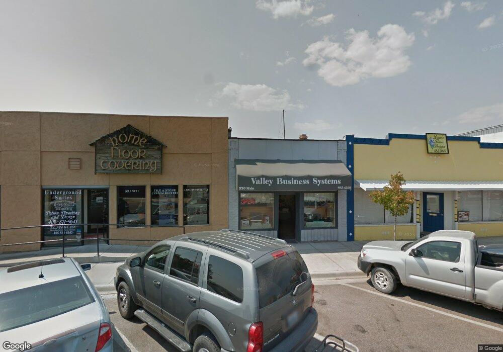
320 Main St Polson, MT 59860
Estimated Value: $208,593
Studio
--
Bath
1,962
Sq Ft
$106/Sq Ft
Est. Value
About This Home
This home is located at 320 Main St, Polson, MT 59860 and is currently priced at $208,593, approximately $106 per square foot. 320 Main St is a home located in Lake County with nearby schools including Cherry Valley School, Linderman Elementary School, and Polson Middle School (7-8).
Ownership History
Date
Name
Owned For
Owner Type
Purchase Details
Closed on
May 3, 2013
Sold by
Samson Richard J and Estate Of Saad Zakaria Bedari
Bought by
Gilchrist Klaus and Gilchrist Jacqueline
Current Estimated Value
Home Financials for this Owner
Home Financials are based on the most recent Mortgage that was taken out on this home.
Original Mortgage
$107,500
Outstanding Balance
$76,278
Interest Rate
3.51%
Mortgage Type
Purchase Money Mortgage
Purchase Details
Closed on
Jun 5, 2003
Sold by
Hoffman Larry K and Hoffman Dawna J
Bought by
Brown Terry P
Create a Home Valuation Report for This Property
The Home Valuation Report is an in-depth analysis detailing your home's value as well as a comparison with similar homes in the area
Home Values in the Area
Average Home Value in this Area
Purchase History
| Date | Buyer | Sale Price | Title Company |
|---|---|---|---|
| Gilchrist Klaus | -- | None Available | |
| Brown Terry P | -- | None Available |
Source: Public Records
Mortgage History
| Date | Status | Borrower | Loan Amount |
|---|---|---|---|
| Open | Gilchrist Klaus | $107,500 |
Source: Public Records
Tax History
| Year | Tax Paid | Tax Assessment Tax Assessment Total Assessment is a certain percentage of the fair market value that is determined by local assessors to be the total taxable value of land and additions on the property. | Land | Improvement |
|---|---|---|---|---|
| 2025 | $2,462 | $213,000 | $0 | $0 |
| 2024 | $2,280 | $140,800 | $0 | $0 |
| 2023 | $2,167 | $140,800 | $0 | $0 |
| 2022 | $2,374 | $136,700 | $0 | $0 |
| 2021 | $1,822 | $136,700 | $0 | $0 |
| 2020 | $2,308 | $124,030 | $0 | $0 |
| 2019 | $2,332 | $124,030 | $0 | $0 |
| 2018 | $2,153 | $123,900 | $0 | $0 |
| 2017 | $1,622 | $123,900 | $0 | $0 |
| 2016 | $1,640 | $93,200 | $0 | $0 |
| 2015 | $1,592 | $93,200 | $0 | $0 |
| 2014 | $1,189 | $82,509 | $0 | $0 |
Source: Public Records
Map
Nearby Homes
- 404 3rd Ave E
- Lot 1 7th Ave W
- Lot 6 7th Ave W
- 602 5th Ave E
- 908 2nd St W Unit 6
- 908 2nd St W Unit 5
- 908 2nd St W Unit 7
- 806 4th St W
- 608 6th St E
- 904 4th St E
- 1005 Main St
- 707 5th Ave E
- 604 10th Ave E Unit D
- 604 10th Ave E Unit B
- 604 10th Ave E Unit H
- 604 10th Ave E Unit G
- 604 10th Ave E Unit E
- 604 10th Ave E
- 604 10th Ave E Unit F
- 604 10th Ave E Unit C
- 318 Main St
- 314 Main St
- NHN 4th Ave W
- 322 Main St
- 316 Main St
- Nhn Doe Run Trail Lot 1
- 312 Main St
- Lot 3 Blk 9 Sfty Bay Villa Site
- 16 4th Ave E
- 0 E Mm10-11 Shore Route
- 308 Main St
- 2 4th Ave E
- 504544 Highway 93
- 8 4th Ave E
- 5 4th Ave W
- 5 4th Aven W Polson Montana
- 302 Main St
- 301 1st St W
- 315 Main St
- 403 1st St W
Your Personal Tour Guide
Ask me questions while you tour the home.