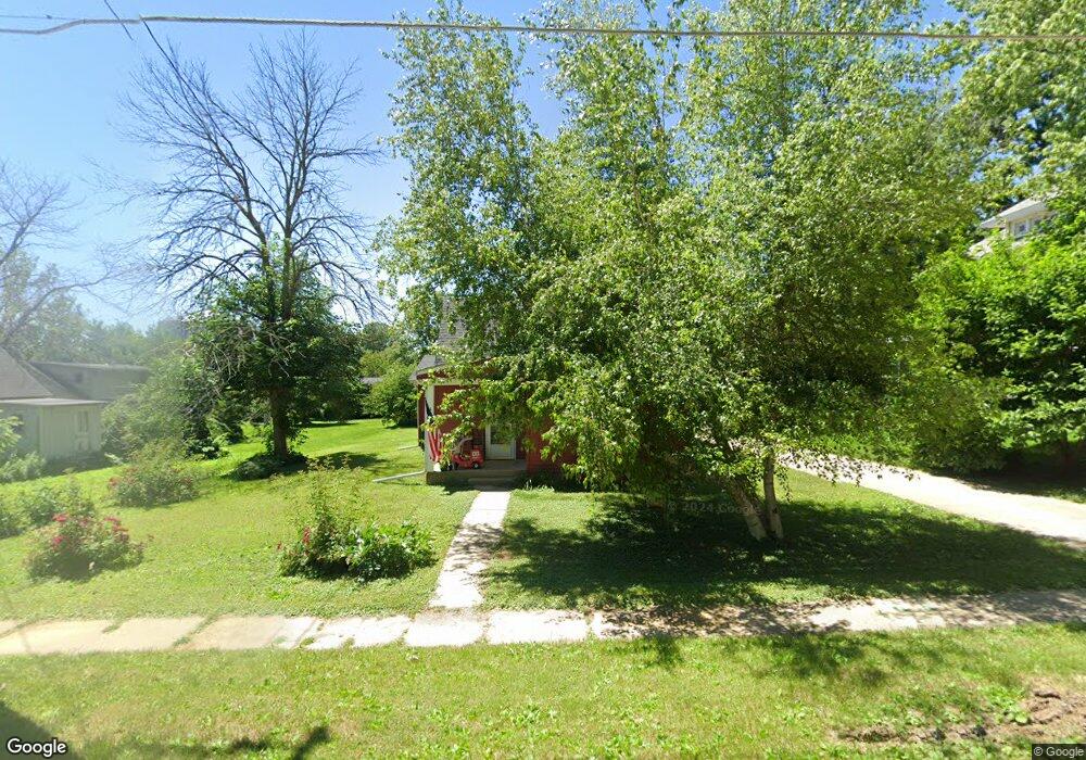
320 N 4th St West Branch, IA 52358
Estimated Value: $203,000 - $262,552
1
Bed
2
Baths
1,658
Sq Ft
$143/Sq Ft
Est. Value
About This Home
This home is located at 320 N 4th St, West Branch, IA 52358 and is currently estimated at $236,388, approximately $142 per square foot. 320 N 4th St is a home located in Cedar County with nearby schools including Hoover Elementary School, West Branch Middle School, and West Branch High School.
Ownership History
Date
Name
Owned For
Owner Type
Purchase Details
Closed on
Jan 30, 2020
Sold by
West Branch City Of
Bought by
Carrillo Jose and Carrillo Linjda
Current Estimated Value
Create a Home Valuation Report for This Property
The Home Valuation Report is an in-depth analysis detailing your home's value as well as a comparison with similar homes in the area
Home Values in the Area
Average Home Value in this Area
Purchase History
| Date | Buyer | Sale Price | Title Company |
|---|---|---|---|
| Carrillo Jose | -- | None Available |
Source: Public Records
Tax History Compared to Growth
Tax History
| Year | Tax Paid | Tax Assessment Tax Assessment Total Assessment is a certain percentage of the fair market value that is determined by local assessors to be the total taxable value of land and additions on the property. | Land | Improvement |
|---|---|---|---|---|
| 2025 | $2,890 | $176,100 | $25,940 | $150,160 |
| 2024 | $2,890 | $170,150 | $25,940 | $144,210 |
| 2023 | $2,346 | $139,700 | $25,940 | $113,760 |
| 2022 | $2,208 | $114,220 | $24,080 | $90,140 |
| 2021 | $2,236 | $114,220 | $24,080 | $90,140 |
| 2020 | $1,994 | $110,520 | $20,380 | $90,140 |
| 2019 | $1,670 | $100,040 | $0 | $0 |
| 2018 | $1,630 | $100,040 | $0 | $0 |
| 2017 | $1,630 | $106,640 | $0 | $0 |
| 2016 | $1,840 | $105,770 | $0 | $0 |
| 2015 | $1,834 | $104,990 | $0 | $0 |
| 2014 | $1,834 | $104,990 | $0 | $0 |
Source: Public Records
Map
Nearby Homes
- 121 Northridge Dr Unit 121-139
- 557 N 4th St
- 521 N 4th St Unit Louise Court Condos
- 426 N 1st St
- 3 Grant St Unit GR3
- 127 N Downey St
- 120 N Downey St
- 33 Lou Henry Ln Unit AM33
- 35 Lou Henry Ln Unit AM35
- 168 290th St
- 316 S Maple St
- 360 Cookson Dr
- 63 Eisenhower St Unit GB63
- 314 Sycamore Dr
- 312 Sycamore Dr
- 316 Sycamore Dr
- 27 Bradley Ln Unit AC27
- T.B.D. 275th St
- 12 Bradley Ln Unit AB12
- 609 W Orange St