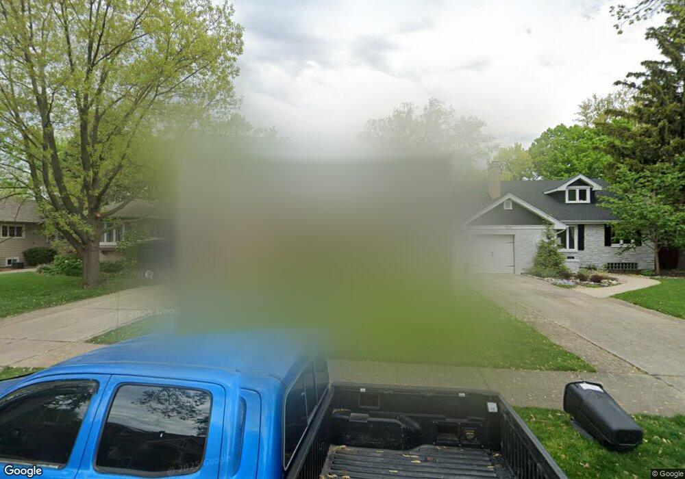
320 Olmsted Rd Riverside, IL 60546
Estimated Value: $429,653 - $510,000
3
Beds
2
Baths
1,382
Sq Ft
$346/Sq Ft
Est. Value
About This Home
This home is located at 320 Olmsted Rd, Riverside, IL 60546 and is currently estimated at $478,663, approximately $346 per square foot. 320 Olmsted Rd is a home located in Cook County with nearby schools including Central Elementary School, L J Hauser Jr High School, and Riverside Brookfield High School.
Ownership History
Date
Name
Owned For
Owner Type
Purchase Details
Closed on
Nov 2, 2022
Sold by
Esther Antuna Revocable Trust
Bought by
Pilar J Antuna Revocable Trust
Current Estimated Value
Purchase Details
Closed on
Sep 15, 2017
Sold by
Antuna Pilar and Antuna Esther
Bought by
Antuna Pilar J and Pilar J Antuna Revocable Trust
Create a Home Valuation Report for This Property
The Home Valuation Report is an in-depth analysis detailing your home's value as well as a comparison with similar homes in the area
Home Values in the Area
Average Home Value in this Area
Purchase History
| Date | Buyer | Sale Price | Title Company |
|---|---|---|---|
| Pilar J Antuna Revocable Trust | -- | None Listed On Document | |
| Antuna Pilar J | -- | Attorney |
Source: Public Records
Tax History
| Year | Tax Paid | Tax Assessment Tax Assessment Total Assessment is a certain percentage of the fair market value that is determined by local assessors to be the total taxable value of land and additions on the property. | Land | Improvement |
|---|---|---|---|---|
| 2025 | $4,970 | $35,000 | $8,463 | $26,537 |
| 2024 | $4,970 | $35,000 | $8,463 | $26,537 |
| 2023 | $10,203 | $35,000 | $8,463 | $26,537 |
| 2022 | $10,203 | $32,794 | $7,405 | $25,389 |
| 2021 | $5,743 | $32,793 | $7,405 | $25,388 |
| 2020 | $5,175 | $32,793 | $7,405 | $25,388 |
| 2019 | $5,414 | $25,723 | $6,770 | $18,953 |
| 2018 | $5,499 | $25,723 | $6,770 | $18,953 |
| 2017 | $6,494 | $25,723 | $6,770 | $18,953 |
| 2016 | $6,641 | $25,495 | $5,924 | $19,571 |
| 2015 | $6,816 | $25,495 | $5,924 | $19,571 |
| 2014 | $6,560 | $25,495 | $5,924 | $19,571 |
| 2013 | $6,194 | $29,351 | $5,924 | $23,427 |
Source: Public Records
Map
Nearby Homes
- 289 Lawton Rd
- 248 Gage Rd
- 303 Lionel Rd
- 7336 39th St
- 7048 35th St
- 7330 39th St
- 7335 Oakwood Ave Unit P-10
- 7335 Oakwood Ave Unit P-12
- 7335 Oakwood Ave Unit P-8
- 7335 Oakwood Ave Unit P-11
- 7335 Oakwood Ave Unit P-14
- 3829 Wisconsin Ave
- 7316 40th St Unit P-9
- 7316 40th St Unit P-10
- 7316 40th St Unit P-13
- 3548 Clinton Ave
- 339 Eastgrove Rd
- 7032 Pershing Rd
- 475 Shenstone Rd Unit 304
- 475 Shenstone Rd Unit 303
Your Personal Tour Guide
Ask me questions while you tour the home.