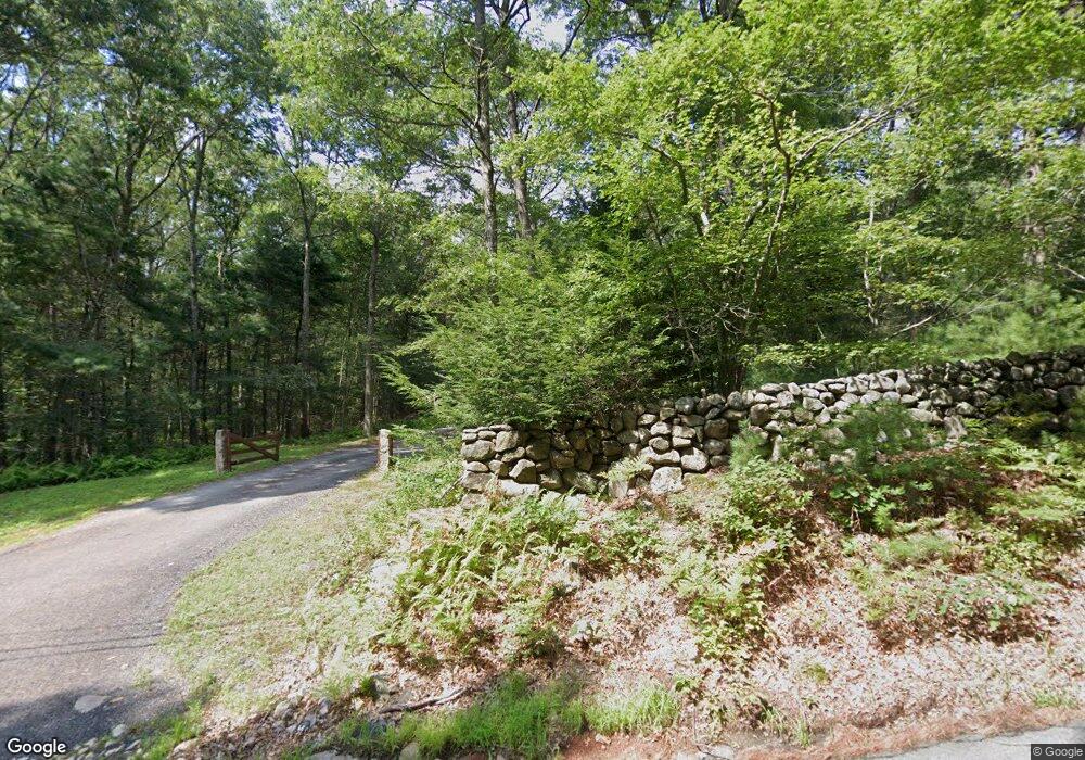
320 Perry Hill Rd Coventry, RI 02816
Greene NeighborhoodEstimated Value: $828,109 - $890,000
3
Beds
3
Baths
1,720
Sq Ft
$499/Sq Ft
Est. Value
About This Home
This home is located at 320 Perry Hill Rd, Coventry, RI 02816 and is currently estimated at $859,055, approximately $499 per square foot. 320 Perry Hill Rd is a home located in Kent County with nearby schools including Alan Shawn Feinstein Ms Of Cov and Coventry High School.
Ownership History
Date
Name
Owned For
Owner Type
Purchase Details
Closed on
Apr 4, 2011
Sold by
Powers William and Powers Cynthia
Bought by
Powers William and Powers Cynthia
Current Estimated Value
Purchase Details
Closed on
Mar 26, 2010
Sold by
Quaranta Jonathan and Qvaranta Cinthi
Bought by
Powers William and Powers Cynthia
Create a Home Valuation Report for This Property
The Home Valuation Report is an in-depth analysis detailing your home's value as well as a comparison with similar homes in the area
Home Values in the Area
Average Home Value in this Area
Purchase History
| Date | Buyer | Sale Price | Title Company |
|---|---|---|---|
| Powers William | -- | -- | |
| Powers William | $360,000 | -- |
Source: Public Records
Mortgage History
| Date | Status | Borrower | Loan Amount |
|---|---|---|---|
| Previous Owner | Powers William | $26,220 | |
| Previous Owner | Powers William | $102,500 | |
| Previous Owner | Powers William | $29,000 |
Source: Public Records
Tax History Compared to Growth
Tax History
| Year | Tax Paid | Tax Assessment Tax Assessment Total Assessment is a certain percentage of the fair market value that is determined by local assessors to be the total taxable value of land and additions on the property. | Land | Improvement |
|---|---|---|---|---|
| 2024 | $13,315 | $598,164 | $0 | $0 |
| 2023 | $12,890 | $0 | $0 | $0 |
| 2022 | $10,614 | $449,944 | $81,233 | $368,711 |
| 2021 | $7,946 | $339,733 | $81,233 | $258,500 |
| 2020 | $9,108 | $339,733 | $81,233 | $258,500 |
| 2019 | $12,938 | $482,564 | $220,864 | $261,700 |
| 2018 | $9,473 | $363,659 | $101,959 | $261,700 |
| 2017 | $9,197 | $363,659 | $101,959 | $261,700 |
| 2016 | $10,621 | $411,501 | $151,801 | $259,700 |
| 2015 | $10,316 | $411,001 | $151,801 | $259,200 |
| 2014 | $7,401 | $393,101 | $151,801 | $241,300 |
| 2013 | $7,367 | $327,547 | $146,947 | $180,600 |
Source: Public Records
Map
Nearby Homes
- 96 Log Bridge Rd
- 1663 Victory Hwy
- 1565 Victory Hwy Unit 1567
- 1356 Victory Hwy
- 1 Bowen Hill Rd
- 3 Victory Falls Rd
- 145 Waterman Hill Rd
- 1840 Harkney Hill Rd
- 6356 Flat River Rd
- 176 Hopkins Hollow Rd
- 375 Franklin Rd
- 550 Twin Brook Ln
- 886 Weaver Hill Rd
- 296 Twin Brook Ln
- 532 Lewis Farm Rd
- 211 Victory Hwy
- 0 Rice City Rd
- 63 Pig Hill Rd
- 01 Stubble Brook Rd
- 1398 Harkney Hill Rd
- 356 Perry Hill Rd
- 282 Perry Hill Rd
- 265 Perry Hill Rd
- 220 Perry Hill Rd
- 334 Perry Hill Rd
- 241 Perry Hill Rd
- 335 Perry Hill Rd
- 323 Perry Hill Rd
- 299 Perry Hill Rd
- 219 Perry Hill Rd
- 4 Fen Way
- 1 Fen Way
- 160 Perry Hill Rd
- 205 Perry Hill Rd
- 177 Perry Hill Rd
- 3 Fen Way
- 410 Perry Hill Rd
- 425 Perry Hill Rd
- 5 Fen Way
- 150 Perry Hill Rd
