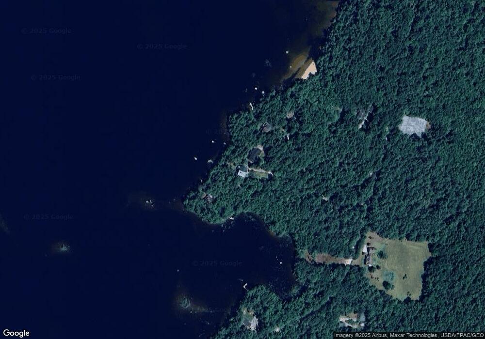
320 Potter Rd Center Conway, NH 03813
Estimated Value: $872,000 - $1,859,360
3
Beds
3
Baths
4,526
Sq Ft
$286/Sq Ft
Est. Value
About This Home
This home is located at 320 Potter Rd, Center Conway, NH 03813 and is currently estimated at $1,292,340, approximately $285 per square foot. 320 Potter Rd is a home located in Carroll County with nearby schools including A. Crosby Kennett Middle School, Kennett High School, and Cady Memorial School.
Ownership History
Date
Name
Owned For
Owner Type
Purchase Details
Closed on
Dec 22, 2017
Sold by
Edgerton John D and Edgerton Elise K
Bought by
Edgerton Ret
Current Estimated Value
Purchase Details
Closed on
Sep 23, 1993
Bought by
Edgerton John D and Edgerton Elise K
Create a Home Valuation Report for This Property
The Home Valuation Report is an in-depth analysis detailing your home's value as well as a comparison with similar homes in the area
Home Values in the Area
Average Home Value in this Area
Purchase History
| Date | Buyer | Sale Price | Title Company |
|---|---|---|---|
| Edgerton Ret | -- | -- | |
| Edgerton John D | $185,000 | -- |
Source: Public Records
Mortgage History
| Date | Status | Borrower | Loan Amount |
|---|---|---|---|
| Previous Owner | Edgerton John D | $188,000 | |
| Previous Owner | Edgerton John D | $200,000 |
Source: Public Records
Tax History Compared to Growth
Tax History
| Year | Tax Paid | Tax Assessment Tax Assessment Total Assessment is a certain percentage of the fair market value that is determined by local assessors to be the total taxable value of land and additions on the property. | Land | Improvement |
|---|---|---|---|---|
| 2024 | $19,434 | $1,619,500 | $701,300 | $918,200 |
| 2023 | $17,474 | $1,619,500 | $701,300 | $918,200 |
| 2022 | $19,530 | $1,070,700 | $576,000 | $494,700 |
| 2021 | $17,495 | $1,070,700 | $576,000 | $494,700 |
| 2020 | $1,226 | $1,070,700 | $576,000 | $494,700 |
| 2019 | $18,545 | $1,070,700 | $576,000 | $494,700 |
| 2018 | $1,189 | $953,500 | $553,500 | $400,000 |
| 2017 | $19,051 | $953,500 | $553,500 | $400,000 |
| 2016 | $1,238 | $953,500 | $553,500 | $400,000 |
| 2015 | $18,202 | $953,500 | $553,500 | $400,000 |
| 2014 | $17,983 | $953,500 | $553,500 | $400,000 |
| 2013 | $17,592 | $985,000 | $576,000 | $409,000 |
Source: Public Records
Map
Nearby Homes
- 00 Davis Hill Rd Unit 97
- 00 Brownfield Rd Unit 11
- 361 Davis Hill Rd
- 33 Sands Cir
- 289 Davis Hill Rd
- 48 Sands Cir Unit 48D
- 1111 Stark Rd
- 574 Old Mill Rd
- 25 Singer Ln
- 443 Greeley Rd
- 827 Davis Hill Rd
- 00 Stritch Rd Unit 58
- 108 Maple Manor Rd
- 293 Pemigewasset Dr
- 48 Maple Manor Rd
- 1049 E Main St
- 63 Mill St
- 106 Pemigewasset Dr
- 156 Birch Hill Rd
- 204 Limac Cir