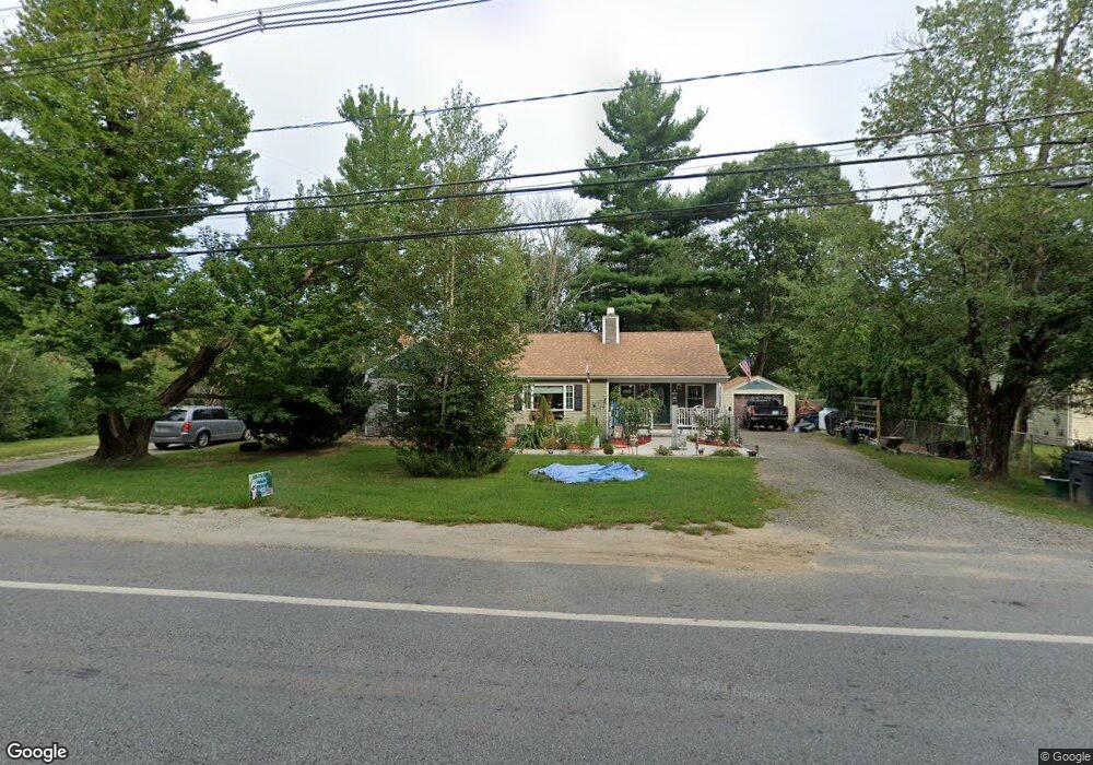
320 Quaker Hwy Uxbridge, MA 01569
Estimated Value: $304,000 - $380,615
3
Beds
1
Bath
1,159
Sq Ft
$282/Sq Ft
Est. Value
About This Home
This home is located at 320 Quaker Hwy, Uxbridge, MA 01569 and is currently estimated at $326,404, approximately $281 per square foot. 320 Quaker Hwy is a home located in Worcester County with nearby schools including Uxbridge High School and Our Lady of the Valley Regional School.
Ownership History
Date
Name
Owned For
Owner Type
Purchase Details
Closed on
Nov 22, 2002
Sold by
Dubois Rita A
Bought by
Dubois Paul A
Current Estimated Value
Home Financials for this Owner
Home Financials are based on the most recent Mortgage that was taken out on this home.
Original Mortgage
$95,000
Outstanding Balance
$39,938
Interest Rate
6.07%
Mortgage Type
Purchase Money Mortgage
Estimated Equity
$286,466
Create a Home Valuation Report for This Property
The Home Valuation Report is an in-depth analysis detailing your home's value as well as a comparison with similar homes in the area
Home Values in the Area
Average Home Value in this Area
Purchase History
| Date | Buyer | Sale Price | Title Company |
|---|---|---|---|
| Dubois Paul A | $118,750 | -- |
Source: Public Records
Mortgage History
| Date | Status | Borrower | Loan Amount |
|---|---|---|---|
| Open | Dubois Paul A | $95,000 |
Source: Public Records
Tax History Compared to Growth
Tax History
| Year | Tax Paid | Tax Assessment Tax Assessment Total Assessment is a certain percentage of the fair market value that is determined by local assessors to be the total taxable value of land and additions on the property. | Land | Improvement |
|---|---|---|---|---|
| 2025 | $28 | $213,000 | $135,400 | $77,600 |
| 2024 | $2,519 | $195,000 | $124,100 | $70,900 |
| 2023 | $2,409 | $172,700 | $112,800 | $59,900 |
| 2022 | $2,362 | $155,800 | $102,300 | $53,500 |
| 2021 | $2,394 | $151,300 | $97,800 | $53,500 |
| 2020 | $3,649 | $218,000 | $101,500 | $116,500 |
| 2019 | $3,612 | $208,200 | $94,000 | $114,200 |
| 2018 | $3,419 | $199,100 | $94,000 | $105,100 |
| 2017 | $3,160 | $186,300 | $89,200 | $97,100 |
| 2016 | $3,417 | $194,500 | $86,600 | $107,900 |
| 2015 | $3,350 | $192,500 | $86,600 | $105,900 |
Source: Public Records
Map
Nearby Homes
- 127 Old Millville Rd
- 70 Chocolog Rd
- 129 Quaker Hwy Unit 6
- 346 Millville Rd
- 328 Millville Rd
- 23 Rifleman Way
- 119 Albee Rd
- 7 Gentry Ln Unit 7
- 215 Chestnut St
- 18 Turner Farm Rd
- 15 Turner Farm Rd
- 12 Turner Farm Rd
- 45 Turner Farm Rd
- 46 Turner Farm Rd
- 85 East St
- 117 Turner Farm Rd
- 127 Turner Farm Rd
- 139 Turner Farm Rd
- 24 Road Ahr
- 286 Blackstone St