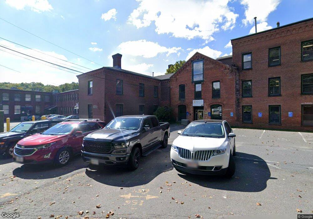
320 Riverside Dr Unit 1 Northampton, MA 01062
Florence NeighborhoodEstimated Value: $2,891,147
--
Bed
2
Baths
6,512
Sq Ft
$444/Sq Ft
Est. Value
About This Home
This home is located at 320 Riverside Dr Unit 1, Northampton, MA 01062 and is currently estimated at $2,891,147, approximately $443 per square foot. 320 Riverside Dr Unit 1 is a home located in Hampshire County with nearby schools including Northampton High School, The Montessori School of Northampton, and Lander Grinspoon Academy.
Ownership History
Date
Name
Owned For
Owner Type
Purchase Details
Closed on
Dec 5, 2013
Sold by
Cfp Properties Llc
Bought by
Cummings Robert L
Current Estimated Value
Home Financials for this Owner
Home Financials are based on the most recent Mortgage that was taken out on this home.
Original Mortgage
$1,380,000
Outstanding Balance
$1,029,825
Interest Rate
4.17%
Mortgage Type
Commercial
Estimated Equity
$1,861,322
Create a Home Valuation Report for This Property
The Home Valuation Report is an in-depth analysis detailing your home's value as well as a comparison with similar homes in the area
Home Values in the Area
Average Home Value in this Area
Purchase History
| Date | Buyer | Sale Price | Title Company |
|---|---|---|---|
| Cummings Robert L | $1,380,000 | -- |
Source: Public Records
Mortgage History
| Date | Status | Borrower | Loan Amount |
|---|---|---|---|
| Open | Cummings Robert L | $1,380,000 |
Source: Public Records
Tax History Compared to Growth
Tax History
| Year | Tax Paid | Tax Assessment Tax Assessment Total Assessment is a certain percentage of the fair market value that is determined by local assessors to be the total taxable value of land and additions on the property. | Land | Improvement |
|---|---|---|---|---|
| 2025 | $5,709 | $409,800 | $0 | $409,800 |
| 2024 | $5,719 | $376,500 | $0 | $376,500 |
| 2023 | $6,163 | $389,100 | $0 | $389,100 |
| 2022 | $6,385 | $356,900 | $0 | $356,900 |
| 2021 | $6,377 | $367,100 | $0 | $367,100 |
| 2020 | $6,167 | $367,100 | $0 | $367,100 |
| 2019 | $6,967 | $401,100 | $0 | $401,100 |
| 2018 | $6,985 | $401,100 | $0 | $401,100 |
| 2017 | $6,694 | $401,100 | $0 | $401,100 |
| 2016 | $6,482 | $401,100 | $0 | $401,100 |
| 2015 | $6,366 | $402,900 | $0 | $402,900 |
| 2014 | $6,201 | $402,900 | $0 | $402,900 |
Source: Public Records
Map
Nearby Homes
- 321 Riverside Dr
- 325 Riverside Dr
- 11 Norwood Ave
- 63 Riverside Dr
- 36 Landy Ave
- 37 Landy Ave
- 225 Nonotuck St Unit C
- 152 S Main St Unit 8
- 152 S Main St Unit 4
- 100 Emerson Way
- 49 Kensington Ave
- 723 Florence Rd
- 137 Emerson Way
- 218 Elm St
- 61 Woodlawn Ave
- 815 Burts Pit Rd
- 167 Emerson Way
- 14 Arlington St
- 76 Maple St
- 67 Park St Unit A
- 320 Riverside Dr Unit 2
- 320 Riverside Dr Unit 7
- 320 Riverside Dr Unit 3
- 320 Rear Riverside Dr
- 320 Riverside Dr Unit 1R
- 320 Ct.Yd. Riverside Dr
- 320 Riverside Dr
- 320 LW Riverside Dr
- 320 Riverside Dr Unit 4
- 320 Riverside Dr
- 320 Side Riverside Dr
- 340 Riverside Dr
- 21 Clement St
- 37 Clement St
- 15 Ladd Ave
- 331 Riverside Dr
- 309 Riverside Dr
- 337 Riverside Dr
- 327 Riverside Dr
- 323 Riverside Dr