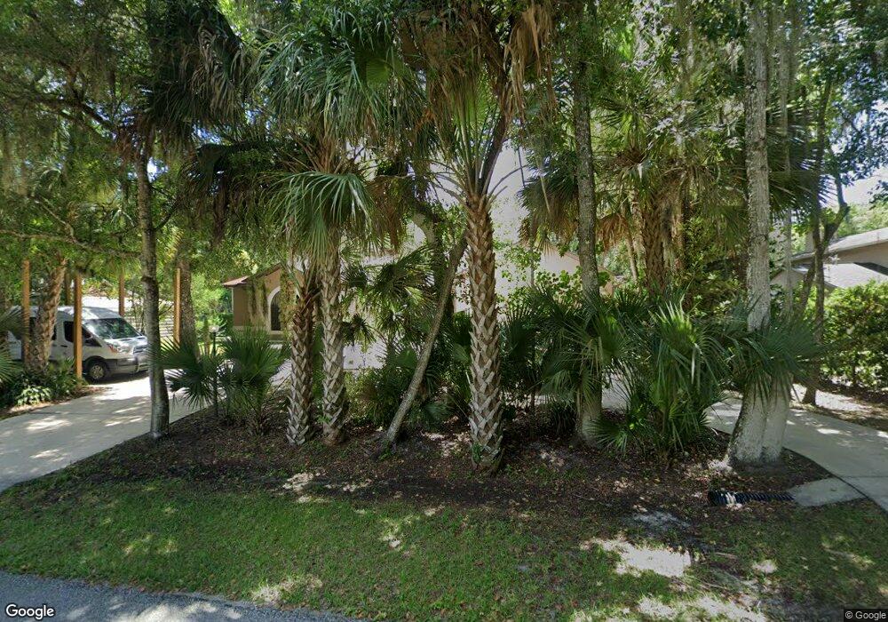
320 S Wild Orange Dr New Smyrna Beach, FL 32168
Glencoe NeighborhoodEstimated Value: $549,000 - $677,000
3
Beds
5
Baths
2,937
Sq Ft
$213/Sq Ft
Est. Value
About This Home
This home is located at 320 S Wild Orange Dr, New Smyrna Beach, FL 32168 and is currently estimated at $627,008, approximately $213 per square foot. 320 S Wild Orange Dr is a home located in Volusia County with nearby schools including Read-Pattillo Elementary School, New Smyrna Beach Middle School, and New Smyrna Beach High School.
Ownership History
Date
Name
Owned For
Owner Type
Purchase Details
Closed on
Feb 22, 2005
Sold by
Valley Thomas M and Valley Rhonda J
Bought by
Minelga Peter R and Minelga Leonida
Current Estimated Value
Purchase Details
Closed on
Feb 21, 2005
Sold by
Blair Edgar E and Blair Sandra N
Bought by
Valley Thomas M and Valley Rhonda J
Purchase Details
Closed on
Oct 15, 1999
Sold by
Todd Gene M and Todd Gene M
Bought by
Blair Edgar E and Blair Sandra N
Purchase Details
Closed on
Sep 15, 1984
Bought by
Minelga Peter R and Minelga Leonida
Create a Home Valuation Report for This Property
The Home Valuation Report is an in-depth analysis detailing your home's value as well as a comparison with similar homes in the area
Home Values in the Area
Average Home Value in this Area
Purchase History
| Date | Buyer | Sale Price | Title Company |
|---|---|---|---|
| Minelga Peter R | $75,000 | Professional Title Agency In | |
| Valley Thomas M | $33,000 | Professional Title Agency In | |
| Blair Edgar E | $23,000 | -- | |
| Minelga Peter R | $100 | -- |
Source: Public Records
Tax History Compared to Growth
Tax History
| Year | Tax Paid | Tax Assessment Tax Assessment Total Assessment is a certain percentage of the fair market value that is determined by local assessors to be the total taxable value of land and additions on the property. | Land | Improvement |
|---|---|---|---|---|
| 2025 | $4,707 | $319,268 | -- | -- |
| 2024 | $4,707 | $310,271 | -- | -- |
| 2023 | $4,707 | $301,234 | $0 | $0 |
| 2022 | $4,646 | $292,460 | $0 | $0 |
| 2021 | $4,796 | $283,942 | $0 | $0 |
| 2020 | $4,726 | $280,022 | $0 | $0 |
| 2019 | $4,965 | $273,726 | $0 | $0 |
| 2018 | $5,062 | $268,622 | $0 | $0 |
| 2017 | $5,082 | $263,097 | $0 | $0 |
| 2016 | $5,256 | $257,686 | $0 | $0 |
| 2015 | $5,391 | $255,895 | $0 | $0 |
| 2014 | $5,317 | $253,864 | $0 | $0 |
Source: Public Records
Map
Nearby Homes
- 385 S Wild Orange Dr
- 472 Wildwood Dr
- 2263 Deerwood Dr
- 550 S Timberlane Dr
- 448 Shorewood Ln
- 402 Oliver Dr
- 341 Windhaven Ln
- 407 Palm Dr
- 397 Palm Dr
- 0 Palm Dr
- 377 Palm Dr
- 2181 Patty Rd
- 332 Patricia Dr
- 2266 Hawks Cove Cir
- 2464 Lydia Way
- 0 Paige Ave Unit 2065367
- 585 Corbin Park Rd
- 0 Burma Rd
- 104 Fran Dr
- 2561 Glen Dr
- 310 S Wild Orange Dr
- 330 S Wild Orange Dr
- 0 Wild Orange Dr
- 323 Wildwood Dr
- 345 Wildwood Dr
- 360 S Wild Orange Dr
- 303 Wildwood Dr
- 0 Indian River Blvd Dr
- 323 S Wild Orange Dr
- 309 S Wild Orange Dr
- 331 S Wild Orange Dr
- 381 Wildwood Dr
- 293 Wildwood Dr
- 330 Wildwood Dr
- 360 Wildwood Dr
- 298 Wildwood Dr
- 251 Wildwood Dr
- 385 S Wild Orange Dr Unit 1
- 410 Wildwood Dr
- 290 Wildwood Dr
