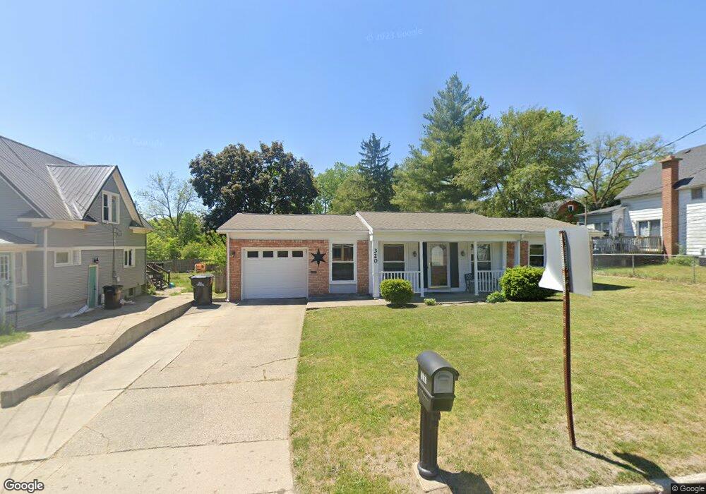
320 W State Rd Hastings, MI 49058
Estimated Value: $202,000 - $231,712
3
Beds
1
Bath
1,459
Sq Ft
$149/Sq Ft
Est. Value
About This Home
This home is located at 320 W State Rd, Hastings, MI 49058 and is currently estimated at $217,178, approximately $148 per square foot. 320 W State Rd is a home located in Barry County with nearby schools including Hastings High School and St. Rose of Lima School.
Ownership History
Date
Name
Owned For
Owner Type
Purchase Details
Closed on
Mar 7, 2018
Sold by
Morgan Kristine S and Morgan Jeffrey L
Bought by
Morgan Jeffrey L and Morgan Kristine S
Current Estimated Value
Purchase Details
Closed on
Jun 20, 2005
Sold by
Cook Dan and Cook Jennifer L
Bought by
Morgan Jeffrey L and Morgan Kristine S
Home Financials for this Owner
Home Financials are based on the most recent Mortgage that was taken out on this home.
Original Mortgage
$107,900
Outstanding Balance
$56,729
Interest Rate
5.87%
Mortgage Type
Fannie Mae Freddie Mac
Estimated Equity
$160,449
Create a Home Valuation Report for This Property
The Home Valuation Report is an in-depth analysis detailing your home's value as well as a comparison with similar homes in the area
Home Values in the Area
Average Home Value in this Area
Purchase History
| Date | Buyer | Sale Price | Title Company |
|---|---|---|---|
| Morgan Jeffrey L | -- | None Available | |
| Morgan Jeffrey L | $107,900 | Advantgage Title & Escrow Ag |
Source: Public Records
Mortgage History
| Date | Status | Borrower | Loan Amount |
|---|---|---|---|
| Open | Morgan Jeffrey L | $107,900 |
Source: Public Records
Tax History Compared to Growth
Tax History
| Year | Tax Paid | Tax Assessment Tax Assessment Total Assessment is a certain percentage of the fair market value that is determined by local assessors to be the total taxable value of land and additions on the property. | Land | Improvement |
|---|---|---|---|---|
| 2025 | $2,056 | $93,900 | $0 | $0 |
| 2024 | $2,056 | $86,400 | $0 | $0 |
| 2023 | $1,893 | $76,000 | $0 | $0 |
| 2022 | $1,893 | $76,000 | $0 | $0 |
| 2021 | $1,893 | $65,200 | $0 | $0 |
| 2020 | $1,893 | $57,100 | $0 | $0 |
| 2019 | $1,893 | $52,200 | $0 | $0 |
| 2018 | $0 | $49,800 | $0 | $0 |
| 2017 | $0 | $50,800 | $0 | $0 |
| 2016 | -- | $43,500 | $0 | $0 |
| 2015 | -- | $43,200 | $0 | $0 |
| 2014 | -- | $43,200 | $0 | $0 |
Source: Public Records
Map
Nearby Homes
- 610 Riverwalk St Unit 18
- 618 Riverwalk St
- 903 N Michigan Ave
- 1130 N Broadway St
- V/L S M 43 Hwy
- 236 E Lincoln St
- 502 W State St
- 727 N East St
- 520 E Thorn St
- 112 E Green St
- 1544 Liberty Ln
- 714 W Green St
- 610 S Park St
- 720 S Jefferson St Unit 722
- 344 E North St Unit 23
- 612 E Green St
- 000 E Mill St
- 611 E Walnut St
- 821 S Michigan Ave
- 617 S East St
- 314 W State Rd
- 328 W State Rd
- 330 W State Rd
- 304 W State Rd
- 530 N Broadway St
- 344 W State Rd
- 301 W State Rd
- 525 N Taffee Dr
- 313 W State Rd
- 348 W State Rd
- 511 N Taffee Dr
- 505 N Taffee Dr
- 709 N Taffee Dr
- 712 N Broadway St
- 230 W State Rd Unit 4
- 725 N Taffee Dr
- 228 W State Rd
- 228 W State Rd Unit 3
- 404 W State Rd
- 226 W State Rd