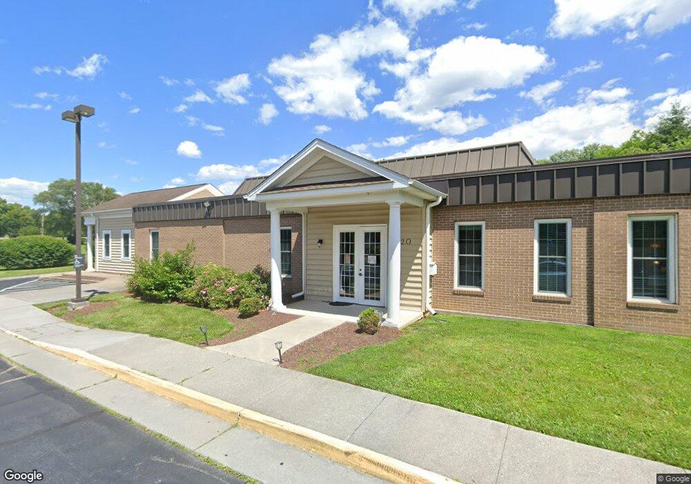
320 Westside Station Dr Winchester, VA 22601
Studio
--
Bath
3,510
Sq Ft
33,977
Sq Ft Lot
About This Home
This home is located at 320 Westside Station Dr, Winchester, VA 22601. 320 Westside Station Dr is a home located in Winchester City with nearby schools including Daniel Morgan Middle School, John Handley High School, and Sacred Heart Academy.
Ownership History
Date
Name
Owned For
Owner Type
Purchase Details
Closed on
Apr 27, 2010
Sold by
Wells Fargo Bank Na
Bought by
First Tee Llc
Home Financials for this Owner
Home Financials are based on the most recent Mortgage that was taken out on this home.
Original Mortgage
$475,000
Interest Rate
4.99%
Mortgage Type
Commercial
Create a Home Valuation Report for This Property
The Home Valuation Report is an in-depth analysis detailing your home's value as well as a comparison with similar homes in the area
Home Values in the Area
Average Home Value in this Area
Purchase History
| Date | Buyer | Sale Price | Title Company |
|---|---|---|---|
| First Tee Llc | $475,000 | None Available |
Source: Public Records
Mortgage History
| Date | Status | Borrower | Loan Amount |
|---|---|---|---|
| Closed | First Tee Llc | $475,000 |
Source: Public Records
Tax History
| Year | Tax Paid | Tax Assessment Tax Assessment Total Assessment is a certain percentage of the fair market value that is determined by local assessors to be the total taxable value of land and additions on the property. | Land | Improvement |
|---|---|---|---|---|
| 2025 | $7,331 | $922,200 | $510,000 | $412,200 |
| 2024 | $7,354 | $886,000 | $510,000 | $376,000 |
| 2023 | $7,354 | $886,000 | $510,000 | $376,000 |
| 2022 | $8,077 | $868,500 | $510,000 | $358,500 |
| 2021 | $8,077 | $868,500 | $510,000 | $358,500 |
| 2020 | $8,077 | $868,500 | $510,000 | $358,500 |
| 2019 | $8,077 | $868,500 | $510,000 | $358,500 |
| 2018 | $7,903 | $868,500 | $510,000 | $358,500 |
| 2017 | $7,903 | $868,500 | $510,000 | $358,500 |
| 2016 | $7,903 | $868,500 | $510,000 | $358,500 |
| 2015 | $7,903 | $868,500 | $510,000 | $358,500 |
| 2014 | $8,665 | $912,100 | $680,000 | $232,100 |
Source: Public Records
Map
Nearby Homes
- 1721 Amherst St
- 1819 Reese Ct
- 1625 Amherst St
- 162 Omps Dr
- 1020 Breckinridge Ln
- 217 Myrtle Ave
- 209 Wood Ave
- 1332 Ramseur Ln
- 832 Winder Ct
- 1415 Ramseur Ln
- 1419 Ramseur Ln
- 308 Ridge Ave
- 0 0 Northwestern Pike
- 769 Seldon Dr
- 866 Merrimans Ln
- 519 Whitacre St
- 1317 Caroline St
- 1540 Meadow Branch Ave
- 705 Treys Dr
- TBD Hydrangea Way
- 324 Westside Station Dr
- 1867 Amherst St
- 1946 Kathy Ct
- 1942 Kathy Ct
- 1950 Kathy Ct
- 315 Merrimans Ln
- 331 Merrimans Ln
- 75 Merrimans Ln
- 325 Westside Station Dr
- 1954 Kathy Ct
- 1871 Amherst St
- 1941 Kathy Ct
- 1958 Kathy Ct
- 405 Merrimans Ln
- 1953 Kathy Ct
- 337 Westside Station Dr
- 1949 Kathy Ct
- 335-337 Westside Station Dr
- 1945 Kathy Ct
- 1881 Amherst St
Your Personal Tour Guide
Ask me questions while you tour the home.