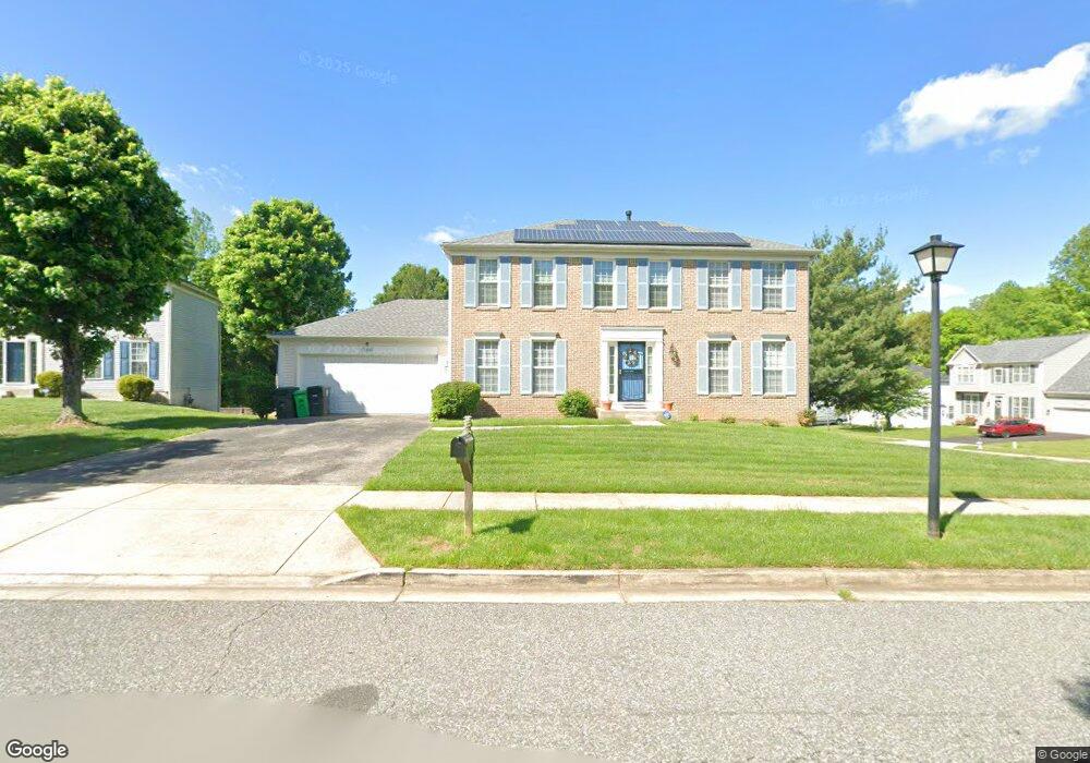
3201 Awn Ct Upper Marlboro, MD 20772
Estimated Value: $546,000 - $641,000
--
Bed
3
Baths
2,080
Sq Ft
$284/Sq Ft
Est. Value
About This Home
This home is located at 3201 Awn Ct, Upper Marlboro, MD 20772 and is currently estimated at $590,750, approximately $284 per square foot. 3201 Awn Ct is a home located in Prince George's County with nearby schools including Perrywood Elementary School, Kettering Middle School, and Dr. Henry A. Wise Jr. High School.
Ownership History
Date
Name
Owned For
Owner Type
Purchase Details
Closed on
Mar 29, 2005
Sold by
Pegram Rodney K
Bought by
Wrigh
Current Estimated Value
Home Financials for this Owner
Home Financials are based on the most recent Mortgage that was taken out on this home.
Original Mortgage
$94,000
Interest Rate
5.61%
Mortgage Type
Purchase Money Mortgage
Purchase Details
Closed on
Jun 27, 1996
Sold by
Pulte Home Corp
Bought by
Pegram Rodney K and Pegram Michelle H
Create a Home Valuation Report for This Property
The Home Valuation Report is an in-depth analysis detailing your home's value as well as a comparison with similar homes in the area
Home Values in the Area
Average Home Value in this Area
Purchase History
| Date | Buyer | Sale Price | Title Company |
|---|---|---|---|
| Wrigh | $470,000 | -- | |
| Pegram Rodney K | $194,840 | -- |
Source: Public Records
Mortgage History
| Date | Status | Borrower | Loan Amount |
|---|---|---|---|
| Closed | Wrigh | $94,000 | |
| Open | Wrigh | $376,000 |
Source: Public Records
Tax History Compared to Growth
Tax History
| Year | Tax Paid | Tax Assessment Tax Assessment Total Assessment is a certain percentage of the fair market value that is determined by local assessors to be the total taxable value of land and additions on the property. | Land | Improvement |
|---|---|---|---|---|
| 2025 | $5,517 | $506,100 | $126,200 | $379,900 |
| 2024 | $5,517 | $454,400 | $0 | $0 |
| 2023 | $5,226 | $402,700 | $0 | $0 |
| 2022 | $4,896 | $351,000 | $126,200 | $224,800 |
| 2021 | $4,942 | $341,233 | $0 | $0 |
| 2020 | $4,866 | $331,467 | $0 | $0 |
| 2019 | $4,763 | $321,700 | $100,600 | $221,100 |
| 2018 | $4,587 | $302,167 | $0 | $0 |
| 2017 | $4,439 | $282,633 | $0 | $0 |
| 2016 | -- | $263,100 | $0 | $0 |
| 2015 | $4,786 | $262,067 | $0 | $0 |
| 2014 | $4,786 | $261,033 | $0 | $0 |
Source: Public Records
Map
Nearby Homes
- 3204 Carlene Ct
- 13804 Carlene Dr
- 3110 Old Largo Rd
- 3200 Eton Dr
- 14508 Brock Hall Dr
- 14601 Brock Hall Dr
- 4466 Lord Loudoun Ct
- 13606 Lord Sterling Place
- 13560 Lord Sterling Place
- 13550 Lord Sterling Place
- 13602 Lord Sterling Place
- 13612 Lord Sterling Place
- 13542 Lord Baltimore Place
- 13538 Lord Baltimore Place
- 4423 Beckenham Place
- 4411 Beckenham Place
- 4503 Captain Duval Dr
- 14402 Medwick Rd
- 4655 Penzance Place
- 4411 Largo Rd
- 13709 Carlene Dr
- 3203 Awn Ct
- 13717 Carlene Dr
- 13712 Carlene Dr
- 3205 Awn Ct
- 13714 Carlene Dr
- 13710 Carlene Dr
- 3202 Awn Ct
- 13707 Carlene Dr
- 13719 Carlene Dr
- 3204 Awn Ct
- 13716 Carlene Dr
- 13708 Carlene Dr
- 13718 Carlene Dr
- 13706 Carlene Dr
- 13705 Carlene Dr
- 3203 Carlene Ct
- 13721 Carlene Dr
- 13703 Carlene Dr
- 13811 Carlene Dr