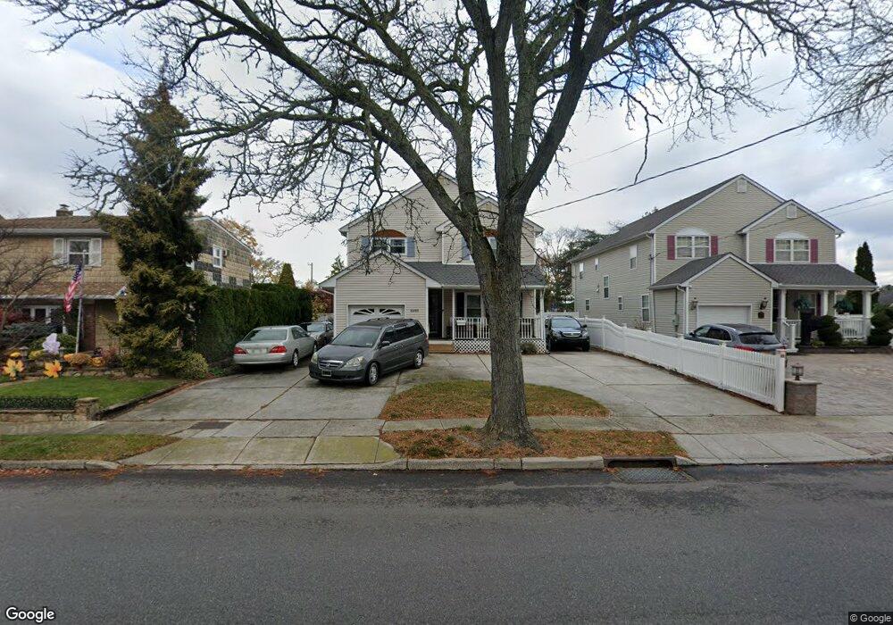
3201 Brower Ave Oceanside, NY 11572
Estimated Value: $906,483 - $939,000
4
Beds
3
Baths
2,449
Sq Ft
$377/Sq Ft
Est. Value
About This Home
This home is located at 3201 Brower Ave, Oceanside, NY 11572 and is currently estimated at $922,742, approximately $376 per square foot. 3201 Brower Ave is a home located in Nassau County with nearby schools including Oaks Elementary School - School 3, Oceanside Middle School, and Oceanside High School.
Ownership History
Date
Name
Owned For
Owner Type
Purchase Details
Closed on
Sep 27, 2019
Sold by
Patel Pankaj M and Patel Priti P
Bought by
Jackman Christine and Jackman Vivian
Current Estimated Value
Home Financials for this Owner
Home Financials are based on the most recent Mortgage that was taken out on this home.
Original Mortgage
$488,000
Outstanding Balance
$425,621
Interest Rate
3.5%
Mortgage Type
New Conventional
Estimated Equity
$497,121
Purchase Details
Closed on
Nov 25, 1997
Sold by
Midland Partners Corp
Bought by
Patel Pankaj M and Patel Pritip
Create a Home Valuation Report for This Property
The Home Valuation Report is an in-depth analysis detailing your home's value as well as a comparison with similar homes in the area
Home Values in the Area
Average Home Value in this Area
Purchase History
| Date | Buyer | Sale Price | Title Company |
|---|---|---|---|
| Jackman Christine | $640,000 | None Available | |
| Patel Pankaj M | $240,000 | -- |
Source: Public Records
Mortgage History
| Date | Status | Borrower | Loan Amount |
|---|---|---|---|
| Open | Jackman Christine | $488,000 |
Source: Public Records
Tax History
| Year | Tax Paid | Tax Assessment Tax Assessment Total Assessment is a certain percentage of the fair market value that is determined by local assessors to be the total taxable value of land and additions on the property. | Land | Improvement |
|---|---|---|---|---|
| 2025 | $16,320 | $611 | $205 | $406 |
| 2024 | $4,526 | $582 | $195 | $387 |
Source: Public Records
Map
Nearby Homes
- 2941 Moreland Ave
- 613 Smith Place
- 3354 Knight St
- 647 Lincoln St
- 2910 Yale Place
- 30 Gifford Ave
- 2929 Yale Place
- 3483 Frederick St
- 3066 Ann St
- 704 Barnes Ave
- 3432 Bayfield Blvd
- 2962 Grand Ave
- 3004 Harbor St
- 702 Fishermans Rd
- 712 Barnes Ave
- 528 Carpenter Ave
- 3195 Nantucket Ln
- 3029 Ann St
- 2899 Grand Ave Unit 5
- 2847 Grand Ave
- 3205 Brower Ave
- 3197 Brower Ave
- 3211 Brower Ave
- 3189 Brower Ave Unit . 1
- 3189 Brower Ave
- 522 Rebecca Ln
- 528 Rebecca Ln
- 3225 Brower Ave
- 3204 Brower Ave
- 3210 Brower Ave
- 516 Rebecca Ln
- 534 Rebecca Ln
- 3218 Brower Ave
- 505 Ayers Place
- 22 Rebecca Ln
- 540 Rebecca Ln
- 3190 Brower Ave
- 3227 Brower Ave
- 504 Rebecca Ln
Your Personal Tour Guide
Ask me questions while you tour the home.