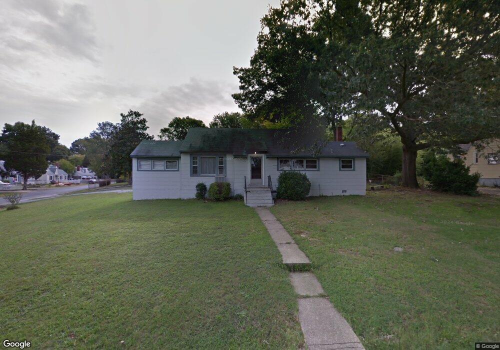
3201 Manorcrest Rd Richmond, VA 23234
British Camp Farms NeighborhoodEstimated Value: $233,861 - $243,000
4
Beds
2
Baths
1,325
Sq Ft
$180/Sq Ft
Est. Value
About This Home
This home is located at 3201 Manorcrest Rd, Richmond, VA 23234 and is currently estimated at $238,215, approximately $179 per square foot. 3201 Manorcrest Rd is a home located in Richmond City with nearby schools including Broad Rock Elementary School, Thomas C. Boushall Middle School, and Richmond High School for the Arts.
Ownership History
Date
Name
Owned For
Owner Type
Purchase Details
Closed on
Nov 19, 2021
Sold by
Arena Ronald J
Bought by
Throckmorton April Crew
Current Estimated Value
Home Financials for this Owner
Home Financials are based on the most recent Mortgage that was taken out on this home.
Original Mortgage
$145,000
Outstanding Balance
$137,555
Interest Rate
6%
Mortgage Type
Purchase Money Mortgage
Estimated Equity
$100,660
Purchase Details
Closed on
Sep 9, 2009
Sold by
Baker Marian H
Bought by
Innovative Asset Solutions Llc
Create a Home Valuation Report for This Property
The Home Valuation Report is an in-depth analysis detailing your home's value as well as a comparison with similar homes in the area
Home Values in the Area
Average Home Value in this Area
Purchase History
| Date | Buyer | Sale Price | Title Company |
|---|---|---|---|
| Throckmorton April Crew | $160,000 | Attorney | |
| Innovative Asset Solutions Llc | $59,000 | -- |
Source: Public Records
Mortgage History
| Date | Status | Borrower | Loan Amount |
|---|---|---|---|
| Open | Throckmorton April Crew | $145,000 |
Source: Public Records
Tax History Compared to Growth
Tax History
| Year | Tax Paid | Tax Assessment Tax Assessment Total Assessment is a certain percentage of the fair market value that is determined by local assessors to be the total taxable value of land and additions on the property. | Land | Improvement |
|---|---|---|---|---|
| 2025 | $1,932 | $161,000 | $53,000 | $108,000 |
| 2024 | $1,800 | $150,000 | $48,000 | $102,000 |
| 2023 | $1,764 | $147,000 | $48,000 | $99,000 |
| 2022 | $1,428 | $119,000 | $33,000 | $86,000 |
| 2021 | $1,068 | $93,000 | $25,000 | $68,000 |
| 2020 | $1,068 | $89,000 | $25,000 | $64,000 |
| 2019 | $1,032 | $86,000 | $25,000 | $61,000 |
| 2018 | $864 | $72,000 | $20,000 | $52,000 |
| 2017 | $852 | $71,000 | $20,000 | $51,000 |
| 2016 | $852 | $71,000 | $20,000 | $51,000 |
| 2015 | $852 | $71,000 | $20,000 | $51,000 |
| 2014 | $852 | $71,000 | $20,000 | $51,000 |
Source: Public Records
Map
Nearby Homes
- 4616 Ferguson Ln
- 3531 Dorset Rd
- 3429 Hopkins Rd
- 3313 Hopkins Rd
- 3433 Hopkins Rd
- 3106 Hopkins Rd
- 3437 Hopkins Rd
- 3441 Hopkins Rd
- 3445 Hopkins Rd
- 3449 Hopkins Rd
- 3405 Broadwick Rd
- 3409 Broadwick Rd
- 3413 Broadwick Rd
- 3417 Broadwick Rd
- 3421 Broadwick Rd
- Barton Plan at Kinwick - Smart Living Townhomes
- Gates Plan at Kinwick - Smart Living Townhomes
- 4116 Aracoma Dr
- 3006 Baronet Dr
- 3919 Rusk Ave
- 4209 Welford Ave
- 3209 Manorcrest Rd
- 3200 Manorcrest Rd
- 3215 Manorcrest Rd
- 3210 Olive Ave
- 4201 Welford Ave
- 4218 Welford Ave
- 4212 Welford Ave
- 3216 Olive Ave
- 4300 Welford Ave
- 3214 Manorcrest Rd
- 4206 Welford Ave
- 3221 Manorcrest Rd
- 4311 Welford Ave
- 4306 Welford Ave
- 3222 Olive Ave
- 4200 Welford Ave
- 3220 Manorcrest Rd
- 4312 Welford Ave