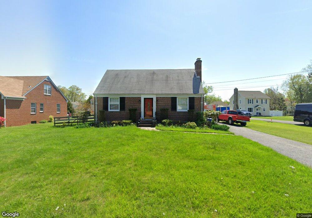
3203 Mayfield Ave Windsor Mill, MD 21244
Estimated Value: $252,000 - $316,649
--
Bed
2
Baths
962
Sq Ft
$302/Sq Ft
Est. Value
About This Home
This home is located at 3203 Mayfield Ave, Windsor Mill, MD 21244 and is currently estimated at $290,412, approximately $301 per square foot. 3203 Mayfield Ave is a home located in Baltimore County with nearby schools including Winfield Elementary School, Windsor Mill Middle School, and Milford Mill Academy.
Ownership History
Date
Name
Owned For
Owner Type
Purchase Details
Closed on
Feb 6, 2001
Sold by
Secretary Of Housing & Urban Dev
Bought by
Ivey Julie E
Current Estimated Value
Purchase Details
Closed on
Jan 25, 1999
Sold by
Little Otis L
Bought by
Secretary Of Housing & Urban Dev
Purchase Details
Closed on
Nov 17, 1993
Sold by
Carroll M A
Bought by
Little Otis L
Home Financials for this Owner
Home Financials are based on the most recent Mortgage that was taken out on this home.
Original Mortgage
$113,250
Interest Rate
6.77%
Create a Home Valuation Report for This Property
The Home Valuation Report is an in-depth analysis detailing your home's value as well as a comparison with similar homes in the area
Home Values in the Area
Average Home Value in this Area
Purchase History
| Date | Buyer | Sale Price | Title Company |
|---|---|---|---|
| Ivey Julie E | $50,000 | -- | |
| Secretary Of Housing & Urban Dev | $120,000 | -- | |
| Little Otis L | $112,500 | -- |
Source: Public Records
Mortgage History
| Date | Status | Borrower | Loan Amount |
|---|---|---|---|
| Previous Owner | Little Otis L | $113,250 |
Source: Public Records
Tax History Compared to Growth
Tax History
| Year | Tax Paid | Tax Assessment Tax Assessment Total Assessment is a certain percentage of the fair market value that is determined by local assessors to be the total taxable value of land and additions on the property. | Land | Improvement |
|---|---|---|---|---|
| 2025 | $2,776 | $224,800 | -- | -- |
| 2024 | $2,776 | $202,800 | $59,000 | $143,800 |
| 2023 | $1,362 | $198,633 | $0 | $0 |
| 2022 | $2,623 | $194,467 | $0 | $0 |
| 2021 | $2,438 | $190,300 | $59,000 | $131,300 |
| 2020 | $2,438 | $181,833 | $0 | $0 |
| 2019 | $2,334 | $173,367 | $0 | $0 |
| 2018 | $2,234 | $164,900 | $59,000 | $105,900 |
| 2017 | $2,113 | $159,533 | $0 | $0 |
| 2016 | $1,842 | $154,167 | $0 | $0 |
| 2015 | $1,842 | $148,800 | $0 | $0 |
| 2014 | $1,842 | $148,800 | $0 | $0 |
Source: Public Records
Map
Nearby Homes
- 16 Rhonda Ct
- 8402 Maymeadow Ct
- 3402 Courtleigh Dr
- 3512 Saint James Rd
- 3126 Rices Ln
- 3414 Milford Mill Rd
- 8422 Merryview Dr
- 0 Rices Ln
- 3507 Ellen
- 3312 Lauri Rd
- 8400 Liberty Rd
- 3538 Milford Mill Rd
- 7906 Montwood Rd
- 3510 Rockdale Ct
- 3115 Ripple Rd
- 8305 Windsor Mill Rd
- 3646 Clifmar Rd
- 3608 Kenmar Rd
- 8403 Downey Dale Dr
- 12 Rollwin Rd
- 3205 Mayfield Ave
- 3201 Mayfield Ave
- 7802 Big Buck Dr
- 7800 Big Buck Dr
- 3210 Mayfield Ave
- 3207 Mayfield Ave
- 8006 Parks Ln
- 3111 Mayfield Ave
- 3212 Mayfield Ave
- 7738 Big Buck Dr
- 7804 Big Buck Dr
- 7806 Big Buck Dr
- 3214 Mayfield Ave
- 3110 Mayfield Ave
- 7808 Big Buck Dr
- 1 Parks Ln
- 3209 Mayfield Ave
- 7808 Doe Ridge Dr
- 7810 Big Buck Dr
- 7806 Doe Ridge Dr