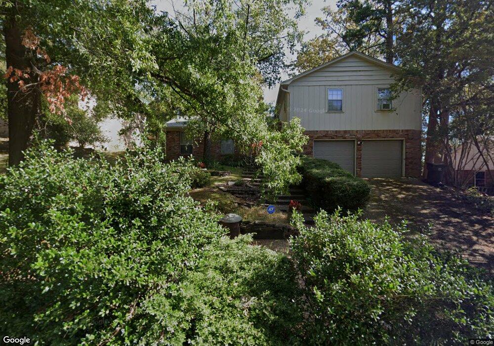
3203 Misty Ln Little Rock, AR 72227
Reservoir NeighborhoodEstimated Value: $245,670 - $295,000
--
Bed
2
Baths
2,500
Sq Ft
$107/Sq Ft
Est. Value
About This Home
This home is located at 3203 Misty Ln, Little Rock, AR 72227 and is currently estimated at $267,418, approximately $106 per square foot. 3203 Misty Ln is a home located in Pulaski County with nearby schools including McDermott Elementary School, J.A. Fair K8 Preparatory School, and Henderson Middle School.
Ownership History
Date
Name
Owned For
Owner Type
Purchase Details
Closed on
Sep 20, 2006
Sold by
Campbell Robert L and Campbell Cheryl E
Bought by
Brandon Janda Anne
Current Estimated Value
Home Financials for this Owner
Home Financials are based on the most recent Mortgage that was taken out on this home.
Original Mortgage
$115,000
Outstanding Balance
$68,458
Interest Rate
6.51%
Mortgage Type
Commercial
Estimated Equity
$198,960
Create a Home Valuation Report for This Property
The Home Valuation Report is an in-depth analysis detailing your home's value as well as a comparison with similar homes in the area
Home Values in the Area
Average Home Value in this Area
Purchase History
| Date | Buyer | Sale Price | Title Company |
|---|---|---|---|
| Brandon Janda Anne | $165,000 | American Abstract & Title Co |
Source: Public Records
Mortgage History
| Date | Status | Borrower | Loan Amount |
|---|---|---|---|
| Open | Brandon Janda Anne | $115,000 |
Source: Public Records
Tax History Compared to Growth
Tax History
| Year | Tax Paid | Tax Assessment Tax Assessment Total Assessment is a certain percentage of the fair market value that is determined by local assessors to be the total taxable value of land and additions on the property. | Land | Improvement |
|---|---|---|---|---|
| 2025 | $2,839 | $44,577 | $6,400 | $38,177 |
| 2024 | $2,715 | $44,577 | $6,400 | $38,177 |
| 2023 | $2,715 | $44,577 | $6,400 | $38,177 |
| 2022 | $2,592 | $44,577 | $6,400 | $38,177 |
| 2021 | $2,487 | $35,270 | $6,600 | $28,670 |
| 2020 | $2,094 | $35,270 | $6,600 | $28,670 |
| 2019 | $2,094 | $35,270 | $6,600 | $28,670 |
| 2018 | $2,119 | $35,270 | $6,600 | $28,670 |
| 2017 | $2,119 | $35,270 | $6,600 | $28,670 |
| 2016 | $2,152 | $35,740 | $7,200 | $28,540 |
| 2015 | $2,505 | $35,740 | $7,200 | $28,540 |
| 2014 | $2,505 | $35,740 | $7,200 | $28,540 |
Source: Public Records
Map
Nearby Homes
- 4 Robinwood Dr
- 9 Misty Ct
- 107 Claremore Ct
- 4 Hillandale Dr
- 5 Berwyn Dr
- 72 Robinwood Dr
- 2714 Charter Oak Dr
- 2908 Breckenridge Dr
- 9925 Echo Valley Ct
- 801 Pleasant Valley Dr
- 28 River Ridge Cir
- 32 Old Forge Ct
- 27 River Ridge Ct
- Lot 17 River Ridge Pointe
- 2 Wellington Ct
- 2309 Clapboard Hill Rd
- 2209 Breckenridge Dr
- 116 Cambridge Place Dr
- 9 River View Point
- 3 Ludington Cove
- 3125 Misty Ln
- 3209 Misty Ln
- 0 Misty Ln Unit 16020021
- 0 Misty Ln Unit 17007152
- 0 Misty Ln Unit 17035409
- 20 Misty Ct
- 18 Misty Ct
- 3119 Misty Ln
- 3204 Misty Ln
- 3124 Misty Ln
- 3210 Misty Ln
- 16 Misty Ct
- 3111 Misty Ln
- 3120 Misty Ln
- 3114 Misty Ln
- 3211 Summit Ct
- 9021 Cantrell Rd
- 23 Misty Ct
- 3217 Summit Ct
- 14 Misty Ct