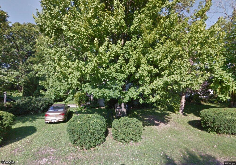
3203 Sheffer Ave Lansing, MI 48906
Northwestside NeighborhoodEstimated Value: $140,000 - $149,000
3
Beds
1
Bath
1,249
Sq Ft
$116/Sq Ft
Est. Value
About This Home
This home is located at 3203 Sheffer Ave, Lansing, MI 48906 and is currently estimated at $145,424, approximately $116 per square foot. 3203 Sheffer Ave is a home located in Ingham County with nearby schools including Cumberland Elementary School, Pattengill Academy, and J.W. Sexton High School.
Ownership History
Date
Name
Owned For
Owner Type
Purchase Details
Closed on
Aug 14, 2014
Sold by
Hungerford Shirley R and Hungerford Wendel N
Bought by
Hungerford Shirley R
Current Estimated Value
Home Financials for this Owner
Home Financials are based on the most recent Mortgage that was taken out on this home.
Original Mortgage
$52,800
Interest Rate
4.14%
Mortgage Type
New Conventional
Purchase Details
Closed on
Jul 1, 2009
Sold by
Hungerford Shirley R and Hungerford Wendel N
Bought by
Hungerford Shirley R
Create a Home Valuation Report for This Property
The Home Valuation Report is an in-depth analysis detailing your home's value as well as a comparison with similar homes in the area
Home Values in the Area
Average Home Value in this Area
Purchase History
| Date | Buyer | Sale Price | Title Company |
|---|---|---|---|
| Hungerford Shirley R | -- | First American Title Ins Co | |
| Hungerford Shirley R | -- | First American Title Ins Co | |
| Hungerford Shirley R | -- | None Available |
Source: Public Records
Mortgage History
| Date | Status | Borrower | Loan Amount |
|---|---|---|---|
| Closed | Hungerford Shirley R | $52,800 |
Source: Public Records
Tax History
| Year | Tax Paid | Tax Assessment Tax Assessment Total Assessment is a certain percentage of the fair market value that is determined by local assessors to be the total taxable value of land and additions on the property. | Land | Improvement |
|---|---|---|---|---|
| 2025 | $2,364 | $56,600 | $12,200 | $44,400 |
| 2024 | $19 | $55,700 | $12,200 | $43,500 |
| 2023 | $2,218 | $49,700 | $12,200 | $37,500 |
| 2022 | $2,002 | $44,600 | $12,200 | $32,400 |
| 2021 | $1,960 | $40,900 | $10,200 | $30,700 |
| 2020 | $1,948 | $38,900 | $10,200 | $28,700 |
| 2019 | $1,866 | $36,900 | $10,200 | $26,700 |
| 2018 | $1,750 | $32,300 | $10,200 | $22,100 |
| 2017 | $1,675 | $32,300 | $10,200 | $22,100 |
| 2016 | $1,602 | $30,100 | $10,200 | $19,900 |
| 2015 | $1,602 | $28,600 | $20,372 | $8,228 |
| 2014 | $1,602 | $28,000 | $21,594 | $6,406 |
Source: Public Records
Map
Nearby Homes
- 3230 Sheffer Ave
- 3304 Sheffer Ave
- 3017 Alfred Ave
- 2601 Newport Dr
- 2519 Byrnes Rd
- 4221 N Grand River Ave
- 3500 Colchester Rd
- 3116 Colchester Rd
- 3733 Colchester Rd
- 2313 Kuerbitz Dr
- 2300 Byrnes Rd
- 4005 N Grand River Ave
- 2302 Northwest Ave
- 3336 Tecumseh River Rd
- 2209 Barstow Rd
- 2800 Tecumseh River Rd
- 2111 Delta River Dr
- 1805 Boynton Dr
- 1930 Briarwood Dr
- 3723 Springbrook Ln
- 3115 Sheffer Ave
- 3207 Sheffer Ave
- 3111 Sheffer Ave
- 3206 Sheffer Ave
- 3114 Sheffer Ave
- 3211 Sheffer Ave
- 3107 Sheffer Ave
- 3110 Sheffer Ave
- 3122 Amherst Dr
- 3624 Wilson Ave
- 3114 Amherst Dr
- 3216 Sheffer Ave
- 3106 Sheffer Ave
- 3221 Sheffer Ave
- 3101 Sheffer Ave
- 3207 Westmont Ave
- 3121 Westmont Ave
- 3214 Amherst Dr
- 3121 Westmont Ave
- 3108 Amherst Dr
Your Personal Tour Guide
Ask me questions while you tour the home.