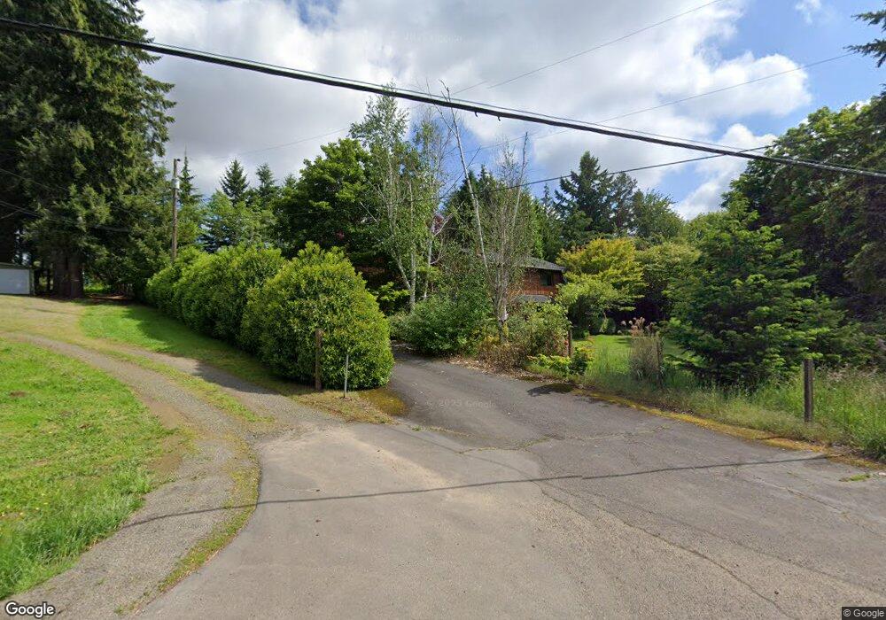
32037 SE Bluff Rd Gresham, OR 97080
Sandy River NeighborhoodEstimated Value: $635,436 - $723,000
3
Beds
2
Baths
1,188
Sq Ft
$570/Sq Ft
Est. Value
About This Home
This home is located at 32037 SE Bluff Rd, Gresham, OR 97080 and is currently estimated at $676,859, approximately $569 per square foot. 32037 SE Bluff Rd is a home located in Multnomah County with nearby schools including East Orient Elementary School, West Orient Middle School, and Sam Barlow High School.
Ownership History
Date
Name
Owned For
Owner Type
Purchase Details
Closed on
May 25, 2022
Sold by
Spotts Daniel L
Bought by
Spotts Daniel L and Spotts Merry E
Current Estimated Value
Home Financials for this Owner
Home Financials are based on the most recent Mortgage that was taken out on this home.
Original Mortgage
$350,000
Outstanding Balance
$330,601
Interest Rate
5.11%
Mortgage Type
New Conventional
Estimated Equity
$346,258
Purchase Details
Closed on
Sep 26, 1996
Sold by
Spotts Doris J and Spotts Curtis Herbert
Bought by
Spotts Daniel L and Ferguson Merry E
Home Financials for this Owner
Home Financials are based on the most recent Mortgage that was taken out on this home.
Original Mortgage
$160,000
Interest Rate
7.87%
Create a Home Valuation Report for This Property
The Home Valuation Report is an in-depth analysis detailing your home's value as well as a comparison with similar homes in the area
Home Values in the Area
Average Home Value in this Area
Purchase History
| Date | Buyer | Sale Price | Title Company |
|---|---|---|---|
| Spotts Daniel L | -- | Ticor Title | |
| Spotts Daniel L | $230,000 | Transnation Title Insurance |
Source: Public Records
Mortgage History
| Date | Status | Borrower | Loan Amount |
|---|---|---|---|
| Open | Spotts Daniel L | $350,000 | |
| Previous Owner | Spotts Daniel L | $160,000 |
Source: Public Records
Tax History
| Year | Tax Paid | Tax Assessment Tax Assessment Total Assessment is a certain percentage of the fair market value that is determined by local assessors to be the total taxable value of land and additions on the property. | Land | Improvement |
|---|---|---|---|---|
| 2025 | $7,105 | $389,810 | -- | -- |
| 2024 | $6,789 | $378,460 | -- | -- |
| 2023 | $6,639 | $367,440 | $0 | $0 |
| 2022 | $6,453 | $356,740 | $0 | $0 |
| 2021 | $6,292 | $346,350 | $0 | $0 |
| 2020 | $5,912 | $336,270 | $0 | $0 |
| 2019 | $5,758 | $326,480 | $0 | $0 |
| 2018 | $5,486 | $316,980 | $0 | $0 |
| 2017 | $5,261 | $307,750 | $0 | $0 |
| 2016 | $4,617 | $298,790 | $0 | $0 |
Source: Public Records
Map
Nearby Homes
- 8140 SE Pleasant Home Rd
- 32022 SE Dodge Park Blvd
- 7137 SE 322nd Ave
- 6140 SE 23rd St
- 30148 SE Bluff Rd
- 30185 SE Wheeler Rd
- 31563 SE Lusted Rd
- 30425 SE Haley Rd
- 30945 SE Lusted Rd
- 29740 SE Roork Rd
- 8207 SE Cottrell Rd
- 32404 SE Pipeline Rd
- 29630 SE Wheeler Rd
- 7411 SE Cottrell Rd
- 31616 SE Pipeline Rd
- 30125 SE Chase Rd
- 11040 SE Mccreary Ln
- 6366 SE 33rd Way
- 35730 SE Lusted Rd
- 35709 SE Lusted Rd
- 32003 SE Bluff Rd
- 31929 SE Bluff Rd
- 8137 SE 322nd Place
- 31903 SE Bluff Rd
- 31904 SE Bluff Rd
- 31816 SE Bluff Rd
- 8243 SE 322nd Place
- 31817 SE Bluff Rd
- 32241 SE Miller Rd
- 32212 SE Bluff Rd
- 31735 SE Bluff Rd
- 8318 SE Pleasant Home Rd
- 8100 SE Pleasant Home Rd
- 31712 SE Bluff Rd
- 32216 SE Bluff Rd
- 32325 SE Miller Rd
- 8500 SE Revenue Rd
- 8046 SE Pleasant Home Rd
- 32364 SE Bluff Rd
- 32450 SE Bluff Rd
Your Personal Tour Guide
Ask me questions while you tour the home.