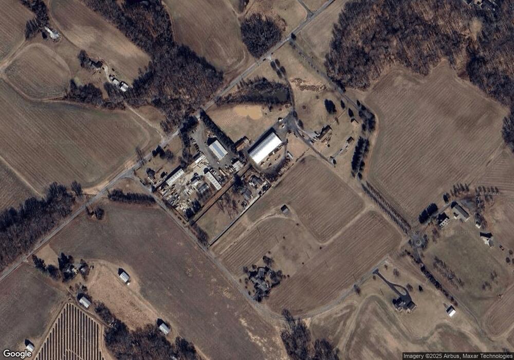
3204 Locust Way Bowie, MD 20716
Queen Anne NeighborhoodEstimated Value: $376,000 - $495,000
--
Bed
2
Baths
1,248
Sq Ft
$369/Sq Ft
Est. Value
About This Home
This home is located at 3204 Locust Way, Bowie, MD 20716 and is currently estimated at $460,033, approximately $368 per square foot. 3204 Locust Way is a home located in Prince George's County with nearby schools including Pointer Ridge Elementary School, Benjamin Tasker Middle School, and Bowie High School.
Ownership History
Date
Name
Owned For
Owner Type
Purchase Details
Closed on
Jun 7, 2005
Sold by
Hall Carl H
Bought by
Langley Charlene O
Current Estimated Value
Home Financials for this Owner
Home Financials are based on the most recent Mortgage that was taken out on this home.
Original Mortgage
$64,000
Outstanding Balance
$48,584
Interest Rate
6.05%
Mortgage Type
Credit Line Revolving
Estimated Equity
$411,449
Purchase Details
Closed on
Jul 28, 2000
Sold by
Entzian Gary A
Bought by
Hall Carl H
Create a Home Valuation Report for This Property
The Home Valuation Report is an in-depth analysis detailing your home's value as well as a comparison with similar homes in the area
Home Values in the Area
Average Home Value in this Area
Purchase History
| Date | Buyer | Sale Price | Title Company |
|---|---|---|---|
| Langley Charlene O | $320,000 | -- | |
| Hall Carl H | $171,000 | -- |
Source: Public Records
Mortgage History
| Date | Status | Borrower | Loan Amount |
|---|---|---|---|
| Open | Langley Charlene O | $64,000 |
Source: Public Records
Tax History Compared to Growth
Tax History
| Year | Tax Paid | Tax Assessment Tax Assessment Total Assessment is a certain percentage of the fair market value that is determined by local assessors to be the total taxable value of land and additions on the property. | Land | Improvement |
|---|---|---|---|---|
| 2025 | $5,559 | $392,100 | $114,000 | $278,100 |
| 2024 | $5,559 | $362,033 | $0 | $0 |
| 2023 | $5,124 | $331,967 | $0 | $0 |
| 2022 | $4,689 | $301,900 | $114,000 | $187,900 |
| 2021 | $4,480 | $287,400 | $0 | $0 |
| 2020 | $4,271 | $272,900 | $0 | $0 |
| 2019 | $4,061 | $258,400 | $114,000 | $144,400 |
| 2018 | $3,949 | $250,633 | $0 | $0 |
| 2017 | $3,837 | $242,867 | $0 | $0 |
| 2016 | -- | $235,100 | $0 | $0 |
| 2015 | $3,212 | $230,400 | $0 | $0 |
| 2014 | $3,212 | $225,700 | $0 | $0 |
Source: Public Records
Map
Nearby Homes
- 17439 Mill Branch Place
- 16838 Saint Ridgely Blvd
- 3409 Saint Robin Ln
- 3402 Saint Edward Ave
- 3413 Saint Robin Ln
- 16914 Saint William Way
- 3429 Saint Robin Ln
- 3431 Saint Robin Ln
- 3435 Saint Robin Ln
- 16922 Saint Marion Way
- 16910 Saint Marion Way
- 3441 Saint Robin Ln
- 3445 Saint Robin Ln
- 3447 Saint Robin Ln
- 3449 Saint Robin Way
- 3453 Saint Robin Ln
- 3439 Saint Robin Ln
- 3455 Saint Robin Ln
- 3457 Saint Robin Ln
- 3461 Saint Robin Ln
- 3208 Locust Way
- 17435 Mill Branch Place
- 3206 Locust Way
- 3200 Locust Way
- 17313 Mill Branch Place
- 17437 Mill Branch Place
- 17475 Mill Branch Place
- 3207 Locust Way
- 17205 Mill Branch Place
- 17461 Mill Branch Place
- 17320 Mill Branch Place
- 17470 Mill Branch Place
- 17471 Mill Branch Place
- 17480 Mill Branch Place
- 17605 Mill Branch Place
- 17707 Mill Branch Place
- 17709 Mill Branch Place
- 17757 Mill Branch Place
- 17600 Mill Branch Place
- 17813 Mill Branch Place
