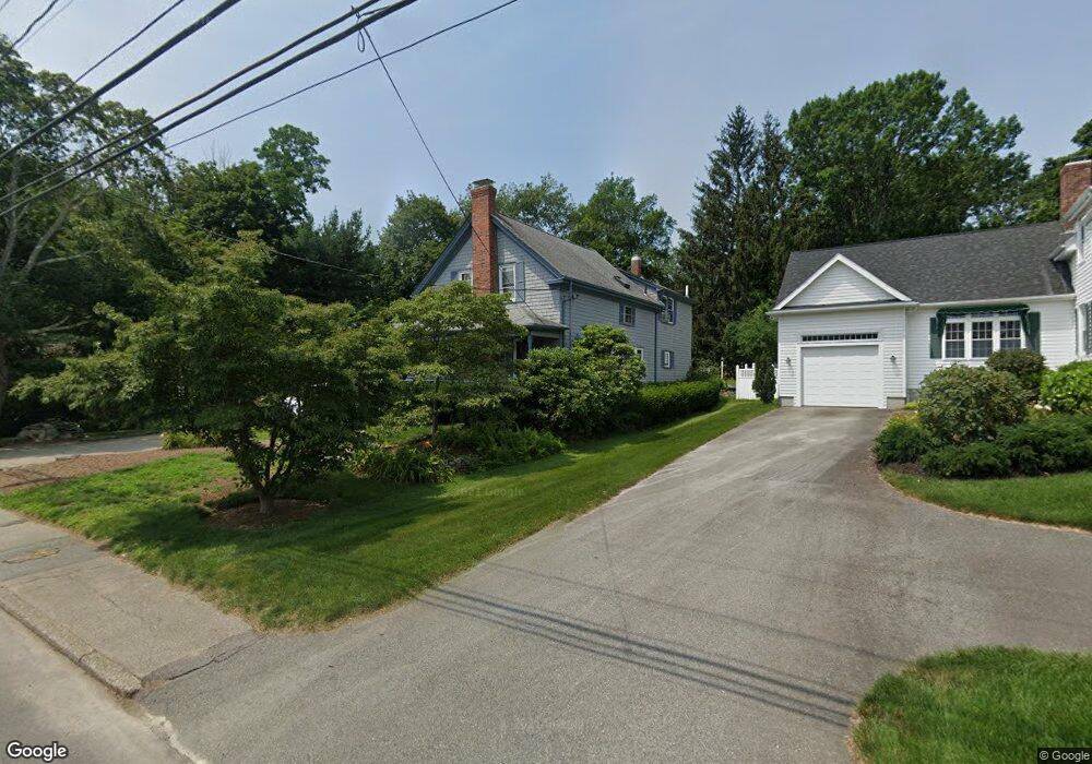
3207 Riverside Ave Somerset, MA 02726
Pottersville NeighborhoodEstimated Value: $574,000 - $684,000
4
Beds
3
Baths
3,120
Sq Ft
$202/Sq Ft
Est. Value
About This Home
This home is located at 3207 Riverside Ave, Somerset, MA 02726 and is currently estimated at $629,508, approximately $201 per square foot. 3207 Riverside Ave is a home located in Bristol County with nearby schools including North Elementary School, Somerset Middle School, and St. Michael's School.
Ownership History
Date
Name
Owned For
Owner Type
Purchase Details
Closed on
Aug 3, 2021
Sold by
White Matthew D
Bought by
White Matthew D and White Lisa M
Current Estimated Value
Create a Home Valuation Report for This Property
The Home Valuation Report is an in-depth analysis detailing your home's value as well as a comparison with similar homes in the area
Home Values in the Area
Average Home Value in this Area
Purchase History
| Date | Buyer | Sale Price | Title Company |
|---|---|---|---|
| White Matthew D | -- | None Available | |
| White Matthew D | -- | None Available | |
| White Matthew D | -- | None Available | |
| White Matthew D | -- | None Available |
Source: Public Records
Tax History Compared to Growth
Tax History
| Year | Tax Paid | Tax Assessment Tax Assessment Total Assessment is a certain percentage of the fair market value that is determined by local assessors to be the total taxable value of land and additions on the property. | Land | Improvement |
|---|---|---|---|---|
| 2025 | $7,382 | $555,000 | $193,800 | $361,200 |
| 2024 | $6,916 | $540,700 | $193,800 | $346,900 |
| 2023 | $6,512 | $513,600 | $176,100 | $337,500 |
| 2022 | $6,046 | $454,900 | $153,300 | $301,600 |
| 2021 | $6,114 | $416,500 | $139,400 | $277,100 |
| 2020 | $6,266 | $411,700 | $139,400 | $272,300 |
| 2019 | $7,446 | $408,000 | $162,500 | $245,500 |
| 2018 | $6,198 | $388,900 | $162,500 | $226,400 |
| 2017 | $6,574 | $377,800 | $162,500 | $215,300 |
| 2016 | $6,939 | $396,300 | $162,500 | $233,800 |
| 2015 | $6,655 | $383,600 | $165,200 | $218,400 |
| 2014 | $8,436 | $349,300 | $165,200 | $184,100 |
Source: Public Records
Map
Nearby Homes
- 135 Grove Ave
- 2714 Riverside Ave
- 50 Pratt Ave
- 224 Chace St
- 34 Barry Ave
- 138 Bourn Ave
- 3896 N Main St
- 190 Gibbs St
- 3682 N Main St Unit 7
- 604 Lafayette St
- 95 Brookside Rd
- 50 Clark St Unit 19
- 64 Midland Rd
- 2546 County St
- 4700 N Main St Unit 3E
- 3063 N Main St
- 112 Rounseville Ave
- 701 Prospect St
- 601 Eastview Ave
- 0 Bark St Unit 73152576
- 3221 Riverside Ave
- 24 Grove Ave
- 3216 Riverside Ave
- 3235 Riverside Ave
- 3236 Riverside Ave
- 50 Grove Ave
- 3251 Riverside Ave
- 3158 Riverside Ave
- 33 Grove Ave
- 3155 Riverside Ave
- 3265 Riverside Ave
- 3137 Riverside Ave
- 3152 Riverside Ave
- 3269 Riverside Ave
- 3262 Riverside Ave
- 76 Grove Ave
- 54 Seymour Ave
- 3275 Riverside Ave
- 3123 Riverside Ave
- 71 Grove Ave