32089 Price Rd Ardmore, TN 38449
Estimated Value: $182,083 - $247,000
Studio
1
Bath
952
Sq Ft
$232/Sq Ft
Est. Value
About This Home
This home is located at 32089 Price Rd, Ardmore, TN 38449 and is currently estimated at $220,771, approximately $231 per square foot. 32089 Price Rd is a home located in Giles County with nearby schools including Elkton Elementary School and Giles County High School.
Ownership History
Date
Name
Owned For
Owner Type
Purchase Details
Closed on
Nov 3, 2009
Sold by
Thompson William Carson
Bought by
Albury Cheryl L
Current Estimated Value
Purchase Details
Closed on
Aug 10, 2005
Sold by
Lindsey Lillian C
Bought by
Thompson William Carson
Home Financials for this Owner
Home Financials are based on the most recent Mortgage that was taken out on this home.
Original Mortgage
$85,000
Interest Rate
5.54%
Purchase Details
Closed on
Jun 20, 1994
Bought by
Lindsey Lillian C
Purchase Details
Closed on
Jul 27, 1987
Bought by
Price Buford and Price Jessie
Create a Home Valuation Report for This Property
The Home Valuation Report is an in-depth analysis detailing your home's value as well as a comparison with similar homes in the area
Purchase History
| Date | Buyer | Sale Price | Title Company |
|---|---|---|---|
| Albury Cheryl L | $111,000 | -- | |
| Thompson William Carson | $85,000 | -- | |
| Lindsey Lillian C | $38,500 | -- | |
| Price Buford | -- | -- |
Source: Public Records
Mortgage History
| Date | Status | Borrower | Loan Amount |
|---|---|---|---|
| Previous Owner | Price Buford | $85,000 |
Source: Public Records
Tax History
| Year | Tax Paid | Tax Assessment Tax Assessment Total Assessment is a certain percentage of the fair market value that is determined by local assessors to be the total taxable value of land and additions on the property. | Land | Improvement |
|---|---|---|---|---|
| 2025 | $562 | $22,650 | $10,075 | $12,575 |
| 2024 | $486 | $22,650 | $10,075 | $12,575 |
| 2023 | $486 | $22,650 | $10,075 | $12,575 |
| 2022 | $486 | $22,650 | $10,075 | $12,575 |
| 2021 | $548 | $17,875 | $6,650 | $11,225 |
| 2020 | $549 | $17,925 | $6,650 | $11,275 |
| 2019 | $506 | $17,925 | $6,650 | $11,275 |
| 2018 | $549 | $17,925 | $6,650 | $11,275 |
| 2017 | $549 | $17,925 | $6,650 | $11,275 |
| 2016 | $538 | $16,775 | $5,600 | $11,175 |
| 2015 | $505 | $16,775 | $5,600 | $11,175 |
| 2014 | $505 | $16,778 | $0 | $0 |
Source: Public Records
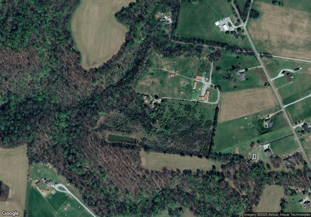
Map
Nearby Homes
- 516 Stevenson Rd
- 30A Stevenson Rd
- 30acres Stevenson Rd
- 0 Union Hill Rd Unit RTC3066715
- 0 Union Hill Rd Unit RTC3066716
- 0 Union Hill Rd Unit RTC3066714
- 0 Union Hill Rd Unit RTC3066717
- 26081 Pheasant Run
- 30679 Ardmore Ridge Rd
- 30065 Bankston Rd
- 167 Henry Bayless Rd
- 29875 1st Ave E
- 30619 Highway 110
- 3.81 Acres Alabama 53
- 2126 Ardmore Hwy
- 239 Henry Bayless Rd
- 64 Elliot Rd
- .86 acres Whitt St
- 29854 Ardmore Ave
- 24994 7th St
- 32099 Ardmore Ridge Rd
- 32181 Ardmore Ridge Rd
- 32065 Ardmore Ridge Rd
- 32035 Ardmore Ridge Rd
- 31945 Ardmore Ridge Rd
- 31955 Ardmore Ridge Rd
- 31969 Ardmore Ridge Rd
- 25701 Union Hill Rd
- 31975 Ardmore Ridge Rd
- 31985 Ardmore Ridge Rd
- 32090 Ardmore Ridge Rd
- 32289 Ardmore Ridge Rd
- 32015 Ardmore Ridge Rd
- 25755 Union Hill Rd
- 32074 Ardmore Ridge Rd
- 25723 Union Hill Rd
- 32020 Ardmore Ridge Rd
- 25797 Union Hill Rd
- 32040 Ardmore Ridge Rd
- 25851 Union Hill Rd
Your Personal Tour Guide
Ask me questions while you tour the home.