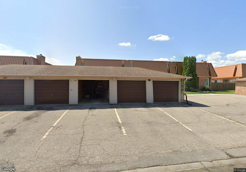
321 12 1/2 Ave E West Fargo, ND 58078
Eastwood NeighborhoodEstimated Value: $156,000 - $166,000
2
Beds
2
Baths
1,024
Sq Ft
$157/Sq Ft
Est. Value
About This Home
This home is located at 321 12 1/2 Ave E, West Fargo, ND 58078 and is currently estimated at $160,774, approximately $157 per square foot. 321 12 1/2 Ave E is a home located in Cass County with nearby schools including Eastwood Elementary School, Cheney Middle School, and West Fargo High School.
Ownership History
Date
Name
Owned For
Owner Type
Purchase Details
Closed on
Jul 31, 2020
Sold by
Owens Matthew D and Owens Elizabeth A
Bought by
Solberg Donald and Solberg Donna May
Current Estimated Value
Purchase Details
Closed on
Apr 30, 2015
Sold by
Franks Matthew and Franks Sheila M
Bought by
Owens Matthew D and Owens Elizabeth A
Home Financials for this Owner
Home Financials are based on the most recent Mortgage that was taken out on this home.
Original Mortgage
$113,050
Interest Rate
3.77%
Mortgage Type
New Conventional
Purchase Details
Closed on
Nov 10, 2009
Sold by
Jpmorgan Chase Bank Na
Bought by
Federal National Mortgage Association
Create a Home Valuation Report for This Property
The Home Valuation Report is an in-depth analysis detailing your home's value as well as a comparison with similar homes in the area
Home Values in the Area
Average Home Value in this Area
Purchase History
| Date | Buyer | Sale Price | Title Company |
|---|---|---|---|
| Solberg Donald | $133,900 | The Title Co | |
| Owens Matthew D | $120,750 | Title Co | |
| Federal National Mortgage Association | -- | -- |
Source: Public Records
Mortgage History
| Date | Status | Borrower | Loan Amount |
|---|---|---|---|
| Previous Owner | Owens Matthew D | $113,050 |
Source: Public Records
Tax History Compared to Growth
Tax History
| Year | Tax Paid | Tax Assessment Tax Assessment Total Assessment is a certain percentage of the fair market value that is determined by local assessors to be the total taxable value of land and additions on the property. | Land | Improvement |
|---|---|---|---|---|
| 2024 | $2,131 | $79,150 | $7,500 | $71,650 |
| 2023 | $2,055 | $76,000 | $7,500 | $68,500 |
| 2022 | $2,046 | $72,500 | $7,500 | $65,000 |
| 2021 | $1,821 | $62,150 | $3,000 | $59,150 |
| 2020 | $1,789 | $62,950 | $3,000 | $59,950 |
| 2019 | $1,836 | $60,800 | $3,000 | $57,800 |
| 2018 | $1,788 | $57,500 | $3,000 | $54,500 |
| 2017 | $1,587 | $55,050 | $3,000 | $52,050 |
| 2016 | $1,369 | $50,500 | $3,000 | $47,500 |
| 2015 | $1,383 | $47,100 | $2,750 | $44,350 |
| 2014 | $1,360 | $44,000 | $2,750 | $41,250 |
| 2013 | $1,373 | $44,000 | $2,750 | $41,250 |
Source: Public Records
Map
Nearby Homes
- 336 13th Ave E
- 245 12th Ave E
- 243 12 1 2 Ave E
- 237 10th Ave E
- 437 10th Ave E
- 670 13th Ave E
- 631 15th Ave E
- 232 15th Ave W
- 226 10 1/2 Ave W
- 134 17th Ave E
- 851 12th Ave E
- 109 7th Ave E
- 1633 3rd St W
- 1844 1st St
- 987 14th Ave E
- 716 Northridge Way
- 724 Northridge Way
- 1809 Pentland St
- 1811 7th St E
- 517 18th Ave E
- 309 12 1/2 Ave E
- 318 13th Ave E
- 322 13th Ave E
- 330 13th Ave E
- 309 12 1/2 Ave E
- 307 12 1/2 Ave E
- 309 12 1 2 Ave E Unit 55
- 342 12 1 2 Ave E Unit 21
- 335 12 1 2 Ave E
- 333 12 1 2 Ave E
- 339 12 1 2 Ave E
- 341 12 1 2 Ave E
- 337 12 1 2 Ave E
- 305 12 1 2 Ave E
- 307 12 1 2 Ave E Unit 307
- 305 12 1 2 Ave E Unit 1
- 307 12 1 2 Ave E
- 307 12 1 2 Ave E Unit 2
- 309 12 1/2 Ave E Unit Gar. 55
- 341 12 1/2 Ave E