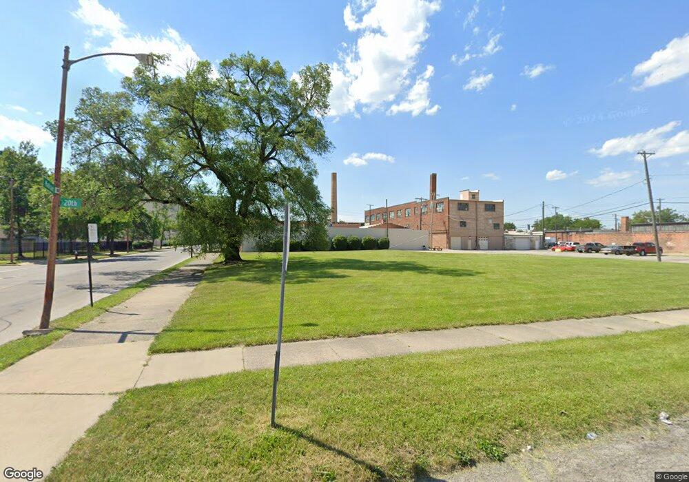
321 20th St Toledo, OH 43604
Downtown Toledo Neighborhood
Studio
--
Bath
--
Sq Ft
--
Built
About This Home
This home is located at 321 20th St, Toledo, OH 43604. 321 20th St is a home located in Lucas County with nearby schools including Sherman Elementary School, Woodward High School, and Madison Avenue School Of Arts.
Ownership History
Date
Name
Owned For
Owner Type
Purchase Details
Closed on
Nov 19, 2018
Sold by
House James Trustee
Bought by
House James Trustee
Purchase Details
Closed on
Sep 1, 2017
Sold by
Ramsey Scott
Bought by
House James and James House Trust
Purchase Details
Closed on
Oct 11, 2012
Sold by
Lucas County Land Reutilization
Bought by
Ramsey Scott and Ramsey Chris
Purchase Details
Closed on
Jun 18, 2012
Sold by
Scott M
Bought by
Lucas County Land Reutilization Corp
Purchase Details
Closed on
Oct 19, 2006
Sold by
Garrison D
Bought by
Scott M and Ftc321 Trust
Purchase Details
Closed on
Jan 6, 2003
Sold by
Garrison D
Bought by
Mcdonald Tracy B and Mcdonald Eugenia K
Home Financials for this Owner
Home Financials are based on the most recent Mortgage that was taken out on this home.
Original Mortgage
$16,925
Interest Rate
14.9%
Mortgage Type
Seller Take Back
Create a Home Valuation Report for This Property
The Home Valuation Report is an in-depth analysis detailing your home's value as well as a comparison with similar homes in the area
Home Values in the Area
Average Home Value in this Area
Purchase History
| Date | Buyer | Sale Price | Title Company |
|---|---|---|---|
| House James Trustee | -- | -- | |
| House James | -- | None Available | |
| Ramsey Scott | -- | None Available | |
| Lucas County Land Reutilization Corp | -- | None Available | |
| Scott M | -- | None Available | |
| Mcdonald Tracy B | $17,900 | -- |
Source: Public Records
Mortgage History
| Date | Status | Borrower | Loan Amount |
|---|---|---|---|
| Previous Owner | Mcdonald Tracy B | $16,925 |
Source: Public Records
Map
Nearby Homes
- 127 W Bancroft St
- 2278 Warren St
- 2015 Putnam St
- 2032 Robinwood Ave
- 2258 Kent St
- 647 Woodland Ave
- 2208 Fulton St
- 629 Virginia St
- 424 Winthrop St
- 842 Lincoln Ave
- 1721 Walnut St
- 1510 Walnut St
- 2446 Fulton St
- 2459 Franklin Ave
- 916 Fernwood Ave
- 927 Norwood Ave
- 929 Norwood Ave
- 427 W Delaware Ave
- 2512 Walnut St
- 106 Melrose Ave
- 1919 Madison Ave
- 232 19th St
- 3086 St Rt 20
- 3586 St Rt 20
- 1815 Adams St
- 1815 Adams St Unit B
- 1815 Adams St Unit C
- L18 Cardinal Estates
- 1902 Jefferson Ave
- 1809 Adams St
- 2116 Madison Ave
- 2018 Adams St
- 1822 Adams St
- 1811 Jefferson Ave
- 328 22nd St
- 1616 Jefferson Ave
- 338 22nd St
- 241 16th St
- 241 16th St
- 122 20th St
