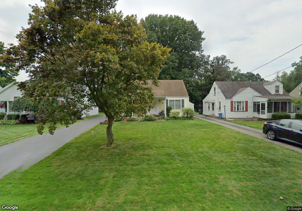
321 Afton Ave Youngstown, OH 44512
Estimated Value: $145,000 - $153,000
3
Beds
1
Bath
1,236
Sq Ft
$120/Sq Ft
Est. Value
About This Home
This home is located at 321 Afton Ave, Youngstown, OH 44512 and is currently estimated at $147,795, approximately $119 per square foot. 321 Afton Ave is a home located in Mahoning County with nearby schools including Boardman Glenwood Junior High School, Boardman High School, and Horizon Science Academy - Youngstown.
Ownership History
Date
Name
Owned For
Owner Type
Purchase Details
Closed on
Apr 18, 2023
Sold by
Marinelli Michael F and Marinelli Marcella
Bought by
Marinelli Michael F and Marinelli Marcella
Current Estimated Value
Purchase Details
Closed on
Apr 17, 2023
Sold by
Marinelli Michael F and Marinelli Marcella
Bought by
Marinelli Michael F and Marinelli Marcella
Purchase Details
Closed on
Nov 12, 1964
Bought by
Marinelli Marinelli M and Marinelli M
Create a Home Valuation Report for This Property
The Home Valuation Report is an in-depth analysis detailing your home's value as well as a comparison with similar homes in the area
Home Values in the Area
Average Home Value in this Area
Purchase History
| Date | Buyer | Sale Price | Title Company |
|---|---|---|---|
| Marinelli Michael F | -- | -- | |
| Marinelli Michael F | -- | None Listed On Document | |
| Marinelli Michael F | -- | None Listed On Document | |
| Marinelli Marinelli M | -- | -- |
Source: Public Records
Tax History Compared to Growth
Tax History
| Year | Tax Paid | Tax Assessment Tax Assessment Total Assessment is a certain percentage of the fair market value that is determined by local assessors to be the total taxable value of land and additions on the property. | Land | Improvement |
|---|---|---|---|---|
| 2024 | $1,534 | $39,780 | $4,140 | $35,640 |
| 2023 | $1,545 | $39,780 | $4,140 | $35,640 |
| 2022 | $987 | $23,510 | $3,830 | $19,680 |
| 2021 | $988 | $23,510 | $3,830 | $19,680 |
| 2020 | $993 | $23,510 | $3,830 | $19,680 |
| 2019 | $884 | $20,090 | $3,270 | $16,820 |
| 2018 | $752 | $20,090 | $3,270 | $16,820 |
| 2017 | $820 | $20,090 | $3,270 | $16,820 |
| 2016 | $905 | $22,650 | $3,850 | $18,800 |
| 2015 | $887 | $22,650 | $3,850 | $18,800 |
| 2014 | $890 | $22,650 | $3,850 | $18,800 |
| 2013 | $879 | $22,650 | $3,850 | $18,800 |
Source: Public Records
Map
Nearby Homes
- 268 Erskine Ave
- 323 Melrose Ave
- 167 Afton Ave
- 0 Mathews Rd Unit 5038026
- 0 Indianola Rd
- 178 Mathews Rd
- 0 Cranberry Ln Unit 5119702
- 0 Mulberry Ln Unit 5119623
- 424 Mathews Rd
- 429 Tudor Ln
- 6001 Applecrest Dr
- 197 Mathews Rd Unit B
- 5522 Southern Blvd
- 88 Arlene Ave
- 796 Edenridge Dr
- 642 Oakridge Dr
- 744 Nellbert Ln
- 44 Gertrude Ave
- 0 Moyer Ave
- 792 Forest Ridge Dr