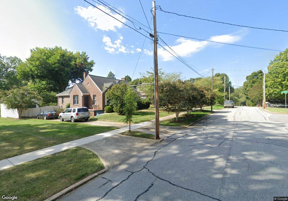
321 Ardmore Cir High Point, NC 27262
Greater High Point NeighborhoodEstimated Value: $272,000 - $445,000
3
Beds
2
Baths
1,419
Sq Ft
$257/Sq Ft
Est. Value
About This Home
This home is located at 321 Ardmore Cir, High Point, NC 27262 and is currently estimated at $365,242, approximately $257 per square foot. 321 Ardmore Cir is a home located in Guilford County with nearby schools including Northwood Elementary School, Ferndale Middle School, and High Point Central High School.
Ownership History
Date
Name
Owned For
Owner Type
Purchase Details
Closed on
Sep 24, 1998
Sold by
Matthews Everhart Delores
Bought by
Hancock Samuel E and Hancock Martha M
Current Estimated Value
Home Financials for this Owner
Home Financials are based on the most recent Mortgage that was taken out on this home.
Original Mortgage
$154,800
Outstanding Balance
$33,125
Interest Rate
6.92%
Estimated Equity
$332,117
Create a Home Valuation Report for This Property
The Home Valuation Report is an in-depth analysis detailing your home's value as well as a comparison with similar homes in the area
Home Values in the Area
Average Home Value in this Area
Purchase History
| Date | Buyer | Sale Price | Title Company |
|---|---|---|---|
| Hancock Samuel E | $172,500 | -- |
Source: Public Records
Mortgage History
| Date | Status | Borrower | Loan Amount |
|---|---|---|---|
| Open | Hancock Samuel E | $154,800 |
Source: Public Records
Tax History Compared to Growth
Tax History
| Year | Tax Paid | Tax Assessment Tax Assessment Total Assessment is a certain percentage of the fair market value that is determined by local assessors to be the total taxable value of land and additions on the property. | Land | Improvement |
|---|---|---|---|---|
| 2025 | $2,945 | $213,700 | $56,000 | $157,700 |
| 2024 | $2,945 | $213,700 | $56,000 | $157,700 |
| 2023 | $2,945 | $213,700 | $56,000 | $157,700 |
| 2022 | $2,881 | $213,700 | $56,000 | $157,700 |
| 2021 | $2,598 | $188,500 | $40,000 | $148,500 |
| 2020 | $2,598 | $188,500 | $40,000 | $148,500 |
| 2019 | $2,598 | $188,500 | $0 | $0 |
| 2018 | $2,585 | $188,500 | $0 | $0 |
| 2017 | $2,598 | $188,500 | $0 | $0 |
| 2016 | $2,503 | $178,500 | $0 | $0 |
| 2015 | $2,517 | $178,500 | $0 | $0 |
| 2014 | $2,560 | $178,500 | $0 | $0 |
Source: Public Records
Map
Nearby Homes
- 207 Hillcrest Dr
- 1113 Clyde Place
- 1013 Johnson St
- 300 Edgedale Dr
- 803 Sunset Dr
- 801 W Parkway Ave
- 1211 N Rotary Dr
- 304 Louise Ave
- 510 Otteray Ave
- 311 Rockspring Rd
- 427 Woodbrook Dr
- 313 Rockspring Rd
- 315 Rockspring Rd
- 317 Rockspring Rd
- 321 Rockspring Rd
- 323 Rockspring Rd
- 325 Rockspring Rd
- 327 Rockspring Rd
- 331 Rockspring Rd
- 333 Rockspring Rd
- 319 Ardmore Cir
- 301 Otteray Ave
- 317 Ardmore Cir
- 303 Otteray Ave
- 516 W Parkway Ave
- 514 W Parkway Ave
- 518 W Parkway Ave
- 508 W Parkway Ave
- 315 Ardmore Cir
- 305 Otteray Ave
- 520 W Parkway Ave
- 302 Otteray Ave
- 506 W Parkway Ave
- 302 N Point Ave
- 111 Brantley Cir
- 109 Brantley Cir
- 113 Brantley Cir
- 522 W Parkway Ave
- 307 Otteray Ave
- 304 Otteray Ave