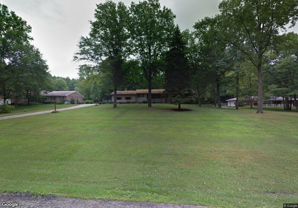
321 Benton St Youngstown, OH 44515
Austintown NeighborhoodEstimated Value: $224,000 - $279,000
About This Home
This home is located at 321 Benton St, Youngstown, OH 44515 and is currently estimated at $256,792, approximately $140 per square foot. 321 Benton St is a home located in Mahoning County with nearby schools including Austintown Elementary School, Austintown Intermediate School, and Austintown Middle School.
Ownership History
We collect this data history from publicly available records. To have your information removed, we recommend requesting removal directly through your county’s website.
Purchase Details
Purchase Details
Home Values in the Area
Average Home Value in this Area
Purchase History
We collect this data history from publicly available records. To have your information removed, we recommend requesting removal directly through your county’s website.
| Date | Buyer | Sale Price | Title Company |
|---|---|---|---|
| -- | Attorney | ||
| -- | -- |
Tax History
We collect this data history from publicly available records. To have your information removed, we recommend requesting removal directly through your county’s website.
| Year | Tax Paid | Tax Assessment Tax Assessment Total Assessment is a certain percentage of the fair market value that is determined by local assessors to be the total taxable value of land and additions on the property. | Land | Improvement |
|---|---|---|---|---|
| 2025 | $3,427 | $81,470 | $12,480 | $68,990 |
| 2024 | $3,287 | $81,470 | $12,480 | $68,990 |
| 2023 | $3,264 | $81,470 | $12,480 | $68,990 |
| 2022 | $2,635 | $55,520 | $12,480 | $43,040 |
| 2021 | $2,636 | $55,520 | $12,480 | $43,040 |
| 2020 | $2,647 | $55,520 | $12,480 | $43,040 |
| 2019 | $2,428 | $47,820 | $11,350 | $36,470 |
| 2018 | $2,336 | $47,820 | $11,350 | $36,470 |
| 2017 | $2,333 | $47,820 | $11,350 | $36,470 |
| 2016 | $2,069 | $43,070 | $11,350 | $31,720 |
| 2015 | $2,006 | $43,070 | $11,350 | $31,720 |
| 2014 | $2,015 | $43,070 | $11,350 | $31,720 |
| 2013 | $1,993 | $43,070 | $11,350 | $31,720 |
Map
- 341 Benton Ave
- 0 Norquest Blvd Unit 5175953
- 0 Norquest Blvd Unit 5175593
- 142 Kleber Ave
- 4847 Norquest Blvd
- 145 N Canfield Niles Rd
- 176 N Canfield Niles Rd
- 296 N Canfield Niles Rd
- 3794-3796 Mahoning Ave
- 613 N Raccoon Rd
- 181 N Yorkshire Blvd
- 148 Marcia Dr
- 139 Dehoff Dr
- 251 N Beverly Ave
- 5635 Yorktown Ln
- 97 Idlewood Rd
- 5109 Birchcrest Dr
- 4258 Mahoning Ave
- 111 Fitch Blvd
- 1257 Mulberry
Ask me questions while you tour the home.