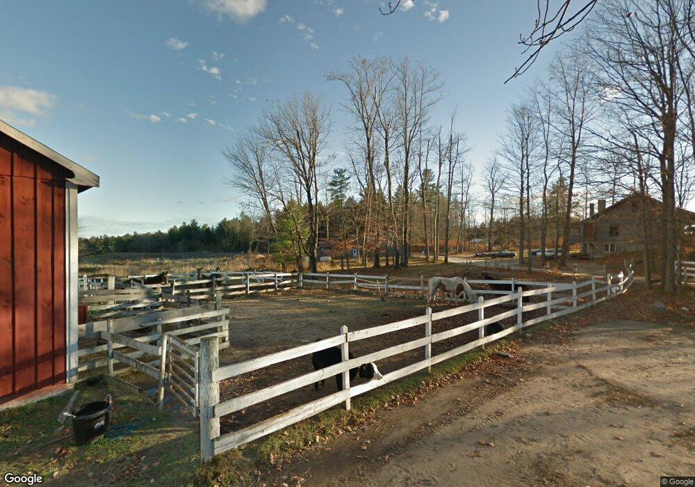
321 Buck St Gorham, ME 04038
Estimated Value: $557,857 - $596,000
3
Beds
1
Bath
2,030
Sq Ft
$286/Sq Ft
Est. Value
About This Home
This home is located at 321 Buck St, Gorham, ME 04038 and is currently estimated at $581,286, approximately $286 per square foot. 321 Buck St is a home with nearby schools including Great Falls Elementary School, Gorham Middle School, and Gorham High School.
Create a Home Valuation Report for This Property
The Home Valuation Report is an in-depth analysis detailing your home's value as well as a comparison with similar homes in the area
Home Values in the Area
Average Home Value in this Area
Tax History
| Year | Tax Paid | Tax Assessment Tax Assessment Total Assessment is a certain percentage of the fair market value that is determined by local assessors to be the total taxable value of land and additions on the property. | Land | Improvement |
|---|---|---|---|---|
| 2025 | $6,155 | $415,900 | $131,000 | $284,900 |
| 2024 | $6,114 | $415,900 | $131,000 | $284,900 |
| 2023 | $5,719 | $415,900 | $131,000 | $284,900 |
| 2022 | $5,344 | $415,900 | $131,000 | $284,900 |
| 2021 | $4,499 | $231,900 | $84,000 | $147,900 |
| 2020 | $4,406 | $231,900 | $84,000 | $147,900 |
| 2019 | $4,395 | $231,900 | $84,000 | $147,900 |
| 2018 | $4,221 | $231,900 | $84,000 | $147,900 |
| 2017 | $3,965 | $231,900 | $84,000 | $147,900 |
| 2016 | $3,946 | $232,100 | $84,200 | $147,900 |
| 2015 | $3,783 | $232,100 | $84,200 | $147,900 |
| 2014 | $3,026 | $173,900 | $77,500 | $96,400 |
| 2013 | $3,008 | $173,900 | $77,500 | $96,400 |
Source: Public Records
Map
Nearby Homes
- 84 Falcon Crest Dr Unit 13
- 555 Fort Hill Rd
- 16 Norway Rd
- 4 Musket Dr
- 35 Rust Rd
- 16 Daniel St
- 8 Martin Dr
- 116 Dingley Spring Rd
- 9 Dingley Spring Rd
- 696 Fort Hill Rd
- 697 Fort Hill Rd
- 46 Sebago Lake Rd
- 182 Falcon Crest Dr Unit 56
- 187 Falcon Crest Dr Unit 30
- 189 Falcon Crest Dr Unit 31
- 192 Falcon Crest Dr Unit 59
- 191 Falcon Crest Dr Unit 32
- 0 Libby Ave
- 194 Falcon Crest Dr Unit 60
- 193 Falcon Crest Dr Unit 33
Your Personal Tour Guide
Ask me questions while you tour the home.