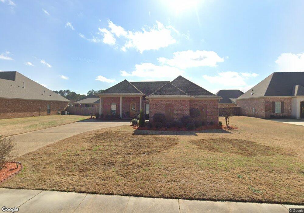
321 Bullock Cir Unit 84 Richland, MS 39218
Estimated Value: $279,000 - $309,000
3
Beds
2
Baths
2,212
Sq Ft
$131/Sq Ft
Est. Value
About This Home
This home is located at 321 Bullock Cir Unit 84, Richland, MS 39218 and is currently estimated at $290,786, approximately $131 per square foot. 321 Bullock Cir Unit 84 is a home located in Rankin County with nearby schools including Richland Elementary School, Richland Upper Elementary School, and Richland High School.
Ownership History
Date
Name
Owned For
Owner Type
Purchase Details
Closed on
Oct 23, 2017
Sold by
Majors Henry E and Majors Brenda L
Bought by
Mayes Ruby V and Chambers Rudolph
Current Estimated Value
Home Financials for this Owner
Home Financials are based on the most recent Mortgage that was taken out on this home.
Original Mortgage
$186,868
Outstanding Balance
$156,129
Interest Rate
3.83%
Mortgage Type
New Conventional
Estimated Equity
$134,657
Purchase Details
Closed on
May 6, 2011
Bought by
Majors Henryu E and Majors Brenda L
Create a Home Valuation Report for This Property
The Home Valuation Report is an in-depth analysis detailing your home's value as well as a comparison with similar homes in the area
Home Values in the Area
Average Home Value in this Area
Purchase History
| Date | Buyer | Sale Price | Title Company |
|---|---|---|---|
| Mayes Ruby V | -- | None Available | |
| Majors Henryu E | -- | -- |
Source: Public Records
Mortgage History
| Date | Status | Borrower | Loan Amount |
|---|---|---|---|
| Open | Mayes Ruby V | $186,868 |
Source: Public Records
Tax History Compared to Growth
Tax History
| Year | Tax Paid | Tax Assessment Tax Assessment Total Assessment is a certain percentage of the fair market value that is determined by local assessors to be the total taxable value of land and additions on the property. | Land | Improvement |
|---|---|---|---|---|
| 2024 | $2,303 | $22,336 | $0 | $0 |
| 2023 | $1,571 | $20,981 | $0 | $0 |
| 2022 | $1,551 | $20,981 | $0 | $0 |
| 2021 | $1,551 | $20,981 | $0 | $0 |
| 2020 | $1,551 | $20,981 | $0 | $0 |
| 2019 | $1,903 | $18,701 | $0 | $0 |
| 2018 | $1,865 | $18,701 | $0 | $0 |
| 2017 | $2,015 | $18,701 | $0 | $0 |
| 2016 | $1,881 | $18,328 | $0 | $0 |
| 2015 | $1,881 | $18,328 | $0 | $0 |
| 2014 | $1,842 | $18,328 | $0 | $0 |
| 2013 | $1,842 | $18,328 | $0 | $0 |
Source: Public Records
Map
Nearby Homes
- 319 Bullock Cir
- 337 Bullock Cir
- 129 Bradford Place
- 204 Prewitt Cir
- 206 Richmond Pointe Way
- 610 Suncrest Cove
- 135 Copper Ln
- 119 Copper Ln
- 404 Southgate Dr
- 408 Cleary Rd
- 151 Russell St
- 1798 Cleary Rd
- 122 Duffey Dr
- 116 Duffey Dr
- 104 Duffey Dr
- 191 Ted Cir
- 214 Shady Ln
- 0 Roland Dr
- 842 Highway 49 S
- 822 Highway 49 S
- 321 Bullock Cir
- 319 Bullock Cir Unit 83
- 323 Bullock Cir Unit 85
- 323 Bullock Cir
- 120 Rhemann Blvd
- 118 Rhemann Blvd
- 122 Rhemann Blvd Unit 68
- 122 Rhemann Blvd
- 317 Bullock Cir
- 320 Bullock Cir Unit 101
- 320 Bullock Cir
- 322 Bullock Cir Unit 100
- 322 Bullock Cir
- 325 Bullock Cir
- 116 Rhemann Blvd
- 318 Bullock Cir Unit 102
- 318 Bullock Cir
- 254 Richmond Pointe Way
- 324 Bullock Cir Unit 99
- 324 Bullock Cir