Estimated Value: $352,151 - $456,000
4
Beds
2
Baths
2,010
Sq Ft
$195/Sq Ft
Est. Value
About This Home
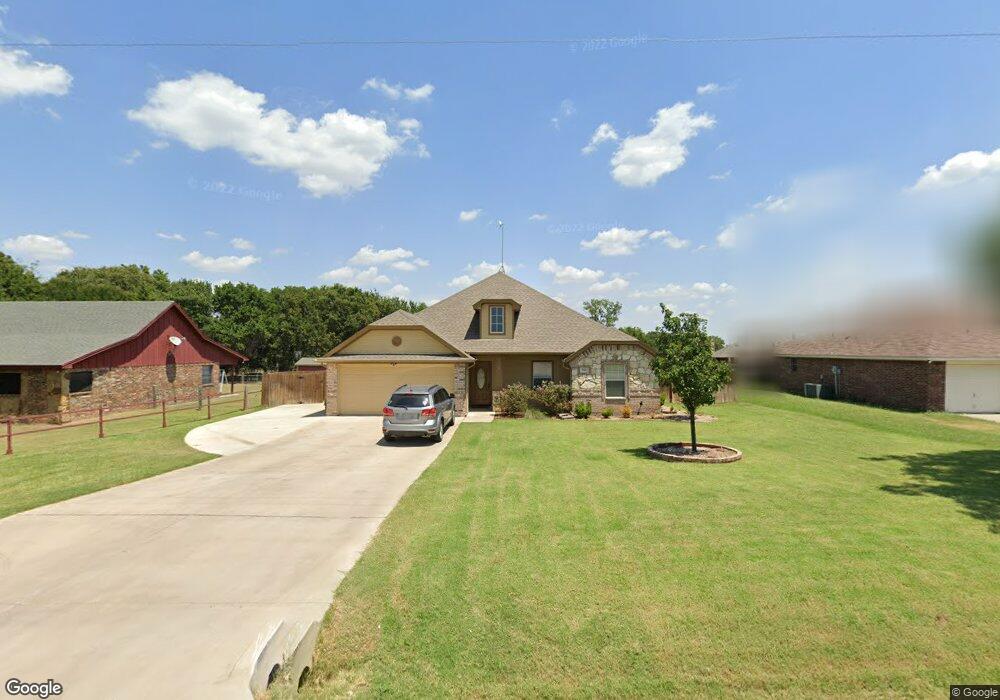
This home is located at 321 Cemetery Rd, Boyd, TX 76023 and is currently estimated at $392,717, approximately $195 per square foot. 321 Cemetery Rd is a home located in Wise County with nearby schools including Boyd Elementary School, Boyd Middle School, and Boyd High School.
Ownership History
Date
Name
Owned For
Owner Type
Purchase Details
Closed on
Jun 13, 2019
Sold by
Brown Richard
Bought by
Wheeler Nicole and Price Carey Eugene
Current Estimated Value
Home Financials for this Owner
Home Financials are based on the most recent Mortgage that was taken out on this home.
Original Mortgage
$245,471
Outstanding Balance
$216,335
Interest Rate
4.62%
Mortgage Type
FHA
Estimated Equity
$176,382
Purchase Details
Closed on
Oct 31, 2013
Sold by
Maximum Design Ventures Llc
Bought by
Brown Richard
Home Financials for this Owner
Home Financials are based on the most recent Mortgage that was taken out on this home.
Original Mortgage
$163,163
Interest Rate
4.56%
Purchase Details
Closed on
May 29, 2013
Sold by
Dean Madelyn S and Dean William H
Bought by
Maximum Design Ventures Llc
Purchase Details
Closed on
Jan 1, 1901
Bought by
Brown Richard
Create a Home Valuation Report for This Property
The Home Valuation Report is an in-depth analysis detailing your home's value as well as a comparison with similar homes in the area
Home Values in the Area
Average Home Value in this Area
Purchase History
| Date | Buyer | Sale Price | Title Company |
|---|---|---|---|
| Wheeler Nicole | -- | None Available | |
| Brown Richard | -- | None Available | |
| Maximum Design Ventures Llc | -- | Guardian Title | |
| Brown Richard | -- | -- |
Source: Public Records
Mortgage History
| Date | Status | Borrower | Loan Amount |
|---|---|---|---|
| Open | Wheeler Nicole | $245,471 | |
| Previous Owner | Brown Richard | $163,163 |
Source: Public Records
Tax History
| Year | Tax Paid | Tax Assessment Tax Assessment Total Assessment is a certain percentage of the fair market value that is determined by local assessors to be the total taxable value of land and additions on the property. | Land | Improvement |
|---|---|---|---|---|
| 2025 | $7,800 | $412,084 | $63,750 | $348,334 |
| 2024 | $7,800 | $410,505 | $63,750 | $346,755 |
| 2023 | $7,623 | $410,887 | $63,750 | $347,137 |
| 2022 | $6,526 | $304,101 | $28,688 | $275,413 |
| 2021 | $5,824 | $261,720 | $28,690 | $233,030 |
| 2020 | $5,259 | $235,490 | $28,690 | $206,800 |
| 2019 | $5,061 | $220,200 | $28,690 | $191,510 |
| 2018 | $4,459 | $191,450 | $14,030 | $177,420 |
| 2017 | $4,295 | $179,320 | $14,030 | $165,290 |
| 2016 | $3,990 | $166,600 | $14,030 | $152,570 |
| 2015 | -- | $167,240 | $14,030 | $153,210 |
| 2014 | -- | $159,570 | $14,030 | $145,540 |
Source: Public Records
Map
Nearby Homes
- 405 Edgewood Terrace
- 105 Driftoak Dr
- 162 Greengate Dr
- TBD S Ewing St
- 135 Mojave Rd
- 138 Mojave Rd
- 114 Mojave Rd
- 120 Mojave Rd
- 160 Lilywood Ln
- 144 Lilywood Ln
- 140 Lilywood Ln
- 132 Lilywood Ln
- 172 Mojave Rd
- 128 Lilywood Ln
- 124 Lilywood Ln
- 176 Mojave Rd
- 180 Mojave Rd
- 116 Lilywood Ln
- 188 Mojave Rd
- 3397 2048 Hwy
- 325 Cemetery Rd
- 329 Cemetery Rd
- 317 Cemetery Rd
- 605 Meadow Park Dr
- TBD PR 4689
- 412 Brookfield Dr
- 601 Meadow Park Dr
- 300 Cemetery Rd
- 333 Cemetery Rd
- 604 Meadow Park Dr
- 520 Green Meadow Dr
- 525 Green Meadow Dr
- 600 Meadow Park Dr
- 330 Cemetery Rd
- 321 Brookfield Dr
- 521 Green Meadow Dr
- 516 Green Meadow Dr
- 500 Brookfield Dr
- 501 Brookfield Dr
- 525 Woodland Park Dr
Your Personal Tour Guide
Ask me questions while you tour the home.