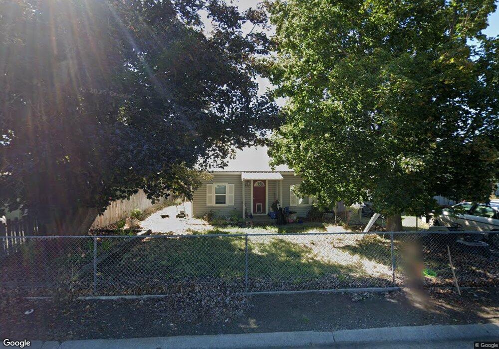
321 Cottonwood Mount Vernon, OR 97865
Estimated Value: $189,357 - $220,000
--
Bed
--
Bath
832
Sq Ft
$252/Sq Ft
Est. Value
About This Home
This home is located at 321 Cottonwood, Mount Vernon, OR 97865 and is currently estimated at $209,339, approximately $251 per square foot. 321 Cottonwood is a home located in Grant County with nearby schools including Grant Union Junior/Senior High School.
Create a Home Valuation Report for This Property
The Home Valuation Report is an in-depth analysis detailing your home's value as well as a comparison with similar homes in the area
Home Values in the Area
Average Home Value in this Area
Tax History Compared to Growth
Tax History
| Year | Tax Paid | Tax Assessment Tax Assessment Total Assessment is a certain percentage of the fair market value that is determined by local assessors to be the total taxable value of land and additions on the property. | Land | Improvement |
|---|---|---|---|---|
| 2024 | $880 | $60,345 | $16,356 | $43,989 |
| 2023 | $853 | $58,588 | $15,876 | $42,712 |
| 2022 | $829 | $56,882 | $15,415 | $41,467 |
| 2021 | $807 | $55,226 | $14,967 | $40,259 |
| 2020 | $848 | $53,618 | $14,530 | $39,088 |
| 2019 | $824 | $52,057 | $14,109 | $37,948 |
| 2018 | $801 | $50,541 | $13,908 | $36,633 |
| 2017 | $783 | $49,069 | $13,505 | $35,564 |
| 2016 | $761 | $47,640 | $13,111 | $34,529 |
| 2015 | $742 | $44,906 | $12,359 | $32,547 |
| 2014 | $742 | $44,906 | $12,359 | $32,547 |
| 2013 | $698 | $43,599 | $11,998 | $31,601 |
Source: Public Records
Map
Nearby Homes
- 251 SE Council Dr
- 54797 U S Highway 26
- 210 Mountain Blvd
- 410 N Mountain Blvd
- 440 N Mountain Blvd
- 809 Ingle St
- 55550 McKern Ln
- 54797 U S 26
- 59720 Highway 26
- 58392 Antelope Ln
- 0 Hwy 395 Unit 220203788
- 0 Hwy 395 Unit 603386933
- 59920 Highway 26
- 59920 Hwy 26
- 31367 Clarks Creek Rd
- 27637 La Costa Rd
- 27637 La Costa Ave
- 59591 High Ridge Ln
- 0 E Side Ln Unit 201102803
- 0 County Rd 74b Unit 11554207