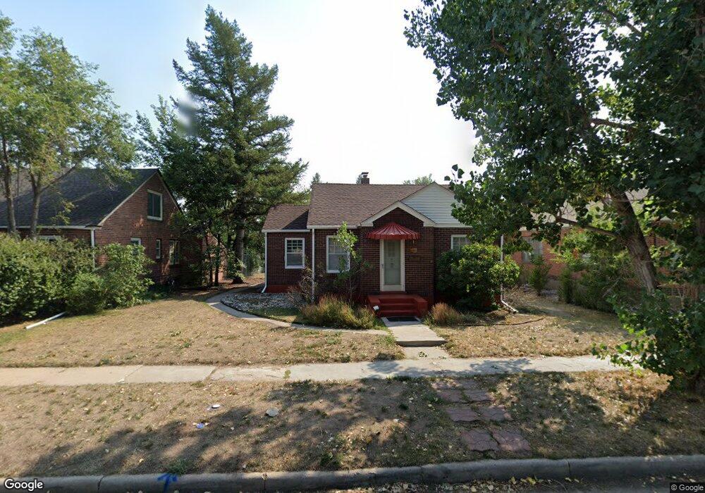
321 E 2nd Ave Cheyenne, WY 82001
Estimated Value: $292,000 - $360,000
Studio
--
Bath
899
Sq Ft
$353/Sq Ft
Est. Value
About This Home
This home is located at 321 E 2nd Ave, Cheyenne, WY 82001 and is currently estimated at $317,315, approximately $352 per square foot. 321 E 2nd Ave is a home located in Laramie County with nearby schools including Deming Elementary School, Miller Elementary School, and McCormick Junior High School.
Ownership History
Date
Name
Owned For
Owner Type
Purchase Details
Closed on
Dec 10, 2021
Sold by
Ames Alan D and Estate Of Rochelle S Ames
Bought by
Schon Kai
Current Estimated Value
Home Financials for this Owner
Home Financials are based on the most recent Mortgage that was taken out on this home.
Original Mortgage
$192,000
Outstanding Balance
$176,660
Interest Rate
3.14%
Mortgage Type
New Conventional
Estimated Equity
$140,655
Purchase Details
Closed on
Jul 23, 2015
Sold by
Ames Norman D
Bought by
Ames Rochelle S
Purchase Details
Closed on
Jun 4, 2015
Sold by
Ames Norman D
Bought by
Ames Rochelle S
Create a Home Valuation Report for This Property
The Home Valuation Report is an in-depth analysis detailing your home's value as well as a comparison with similar homes in the area
Purchase History
| Date | Buyer | Sale Price | Title Company |
|---|---|---|---|
| Schon Kai | -- | None Available | |
| Ames Rochelle S | -- | None Available | |
| Ames Rochelle S | -- | None Available |
Source: Public Records
Mortgage History
| Date | Status | Borrower | Loan Amount |
|---|---|---|---|
| Open | Schon Kai | $192,000 |
Source: Public Records
Tax History
| Year | Tax Paid | Tax Assessment Tax Assessment Total Assessment is a certain percentage of the fair market value that is determined by local assessors to be the total taxable value of land and additions on the property. | Land | Improvement |
|---|---|---|---|---|
| 2025 | $1,834 | $19,666 | $3,327 | $16,339 |
| 2024 | $1,834 | $25,938 | $4,436 | $21,502 |
| 2023 | $1,948 | $27,551 | $4,436 | $23,115 |
| 2022 | $1,669 | $23,119 | $4,436 | $18,683 |
| 2021 | $1,436 | $19,852 | $4,436 | $15,416 |
| 2020 | $1,203 | $16,672 | $4,436 | $12,236 |
| 2019 | $1,157 | $16,025 | $4,436 | $11,589 |
| 2018 | $1,012 | $14,146 | $3,581 | $10,565 |
| 2017 | $995 | $13,790 | $3,581 | $10,209 |
| 2016 | $932 | $12,914 | $3,248 | $9,666 |
| 2015 | $914 | $12,649 | $3,248 | $9,401 |
| 2014 | $1,212 | $16,678 | $3,248 | $13,430 |
Source: Public Records
Map
Nearby Homes
- 316 E Pershing Blvd
- 306 E Pershing Blvd
- 3422 Warren Ave
- 223 E 5th Ave
- 305 E 28th St
- 109 W 1st Ave
- 322 W 6th Ave
- 1014 E 25th St Unit 203
- 414 E 22nd St
- 3205 Reed Ave
- 601 W 25th St
- 1510 Seymour Ave
- 3515 Dillon Ave
- 4001 Snyder Ave
- 3341 Dunn Ave
- 906 Talbot Ct
- 1301 E 23rd St
- 3529 Amherst Rd
- 2515 Snyder Ave
- 1018 E 20th St
Your Personal Tour Guide
Ask me questions while you tour the home.