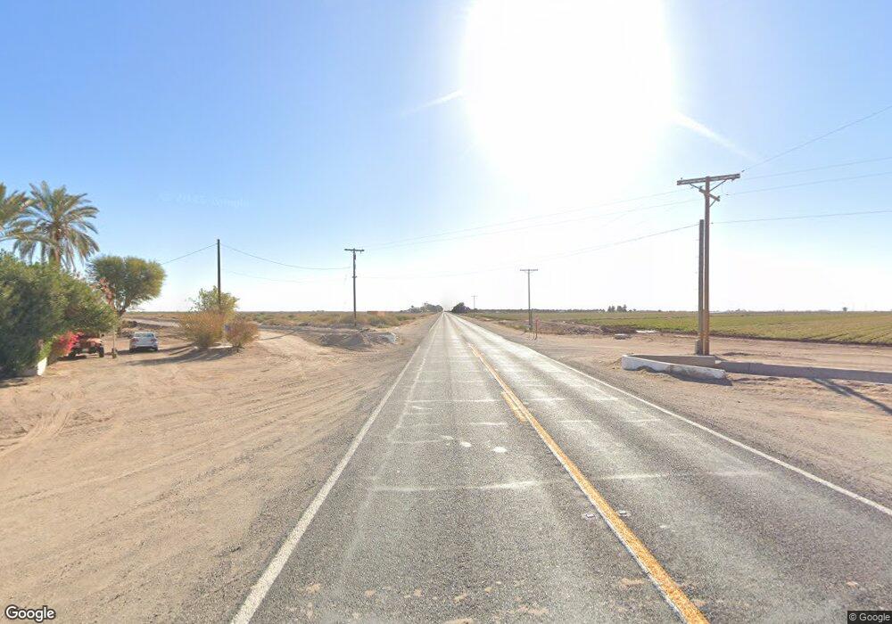
321 E Highway 80 Hwy El Centro, CA 92243
Estimated Value: $232,180 - $420,000
--
Bed
--
Bath
1,549
Sq Ft
$195/Sq Ft
Est. Value
About This Home
This home is located at 321 E Highway 80 Hwy, El Centro, CA 92243 and is currently estimated at $301,545, approximately $194 per square foot. 321 E Highway 80 Hwy is a home with nearby schools including Meadows Elementary School, Central Union High School, and Christ Community.
Ownership History
Date
Name
Owned For
Owner Type
Purchase Details
Closed on
May 24, 2000
Sold by
Goff Ernest & Lenore Trust
Bought by
Brandt David A and Brandt Sandra F
Current Estimated Value
Create a Home Valuation Report for This Property
The Home Valuation Report is an in-depth analysis detailing your home's value as well as a comparison with similar homes in the area
Home Values in the Area
Average Home Value in this Area
Purchase History
| Date | Buyer | Sale Price | Title Company |
|---|---|---|---|
| Brandt David A | $125,000 | Chicago Title Co |
Source: Public Records
Tax History Compared to Growth
Tax History
| Year | Tax Paid | Tax Assessment Tax Assessment Total Assessment is a certain percentage of the fair market value that is determined by local assessors to be the total taxable value of land and additions on the property. | Land | Improvement |
|---|---|---|---|---|
| 2025 | $890 | $73,484 | $10,999 | $62,485 |
| 2023 | $890 | $70,632 | $10,573 | $60,059 |
| 2022 | $864 | $69,248 | $10,366 | $58,882 |
| 2021 | $858 | $67,891 | $10,163 | $57,728 |
| 2020 | $798 | $67,196 | $10,059 | $57,137 |
| 2019 | $870 | $65,879 | $9,862 | $56,017 |
| 2018 | $859 | $64,588 | $9,669 | $54,919 |
| 2017 | $805 | $63,323 | $9,480 | $53,843 |
| 2016 | $778 | $62,083 | $9,295 | $52,788 |
| 2015 | -- | $61,152 | $9,156 | $51,996 |
| 2014 | -- | $59,955 | $8,977 | $50,978 |
Source: Public Records
Map
Nearby Homes
- 45 Cruickshank Rd
- 0 Cruickshank Rd & Cooley Rd Unit 25551253IC
- 312 E Brighton Ave
- 1951 Bowker Rd Unit 1953
- 827 S Hope St
- 1817 S Dogwood Rd
- 1859 Dogwood Rd
- 427 E Ross Ave
- 411 E Aurora Dr
- 371 E Ross Ave
- 280 E Aurora Dr
- 1803 S Dogwood Rd
- 3924 S Dogwood Rd
- 1887 S Dogwood Rd
- 1859 S Dogwood Rd
- 0 W Mineo Ave
- 313 Magnolia Ave
- 314 Magnolia Ave
- 2314 Paige Ave
- 2316 Paige Ave
- 325 E Highway 80 Hwy
- 325 E Evan Hewes Hwy
- 311 E Evan Hewes Hwy
- 329 E Evan Hewes Hwy
- 329 Hawes Rd
- 322 E Holton Rd
- 324 E Holton Rd
- 320 E Holton Rd
- 312 E Holton Rd Unit LA12
- 1996 Cannon Rd
- 1954 Cannon Rd
- 306 E Holton Rd
- 302 E Holton Rd
- 363 E Evan Hewes Hwy
- 279 E Hwy 80 Rd Unit 4
- 279 E Hwy 80 Rd Unit 2
- 2016 Cannon Rd
- 217 E Hwy 80 Hwy
- 294 E Neil Rd
- 0 E Neil Rd
