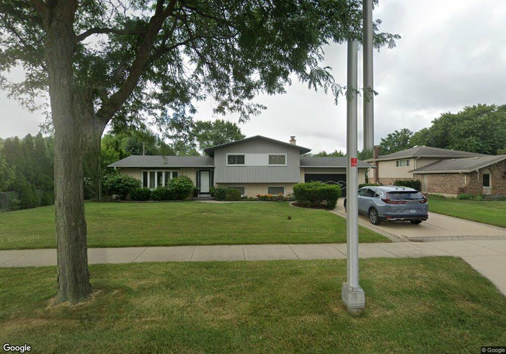
321 E Wise Rd Unit 2 Schaumburg, IL 60193
South Schaumburg NeighborhoodEstimated Value: $452,047 - $522,000
3
Beds
3
Baths
1,381
Sq Ft
$354/Sq Ft
Est. Value
About This Home
This home is located at 321 E Wise Rd Unit 2, Schaumburg, IL 60193 and is currently estimated at $489,262, approximately $354 per square foot. 321 E Wise Rd Unit 2 is a home located in Cook County with nearby schools including Frederick Nerge Elementary School, Margaret Mead Junior High School, and J B Conant High School.
Ownership History
Date
Name
Owned For
Owner Type
Purchase Details
Closed on
Dec 29, 2022
Sold by
Gade William Theodore and Gade Ligeria
Bought by
Gade Family Trust
Current Estimated Value
Purchase Details
Closed on
Aug 2, 2011
Sold by
Fleck Ronald A and Fleck Frances L
Bought by
Gade William Theodore and Gade Ligeria
Home Financials for this Owner
Home Financials are based on the most recent Mortgage that was taken out on this home.
Original Mortgage
$209,200
Interest Rate
4.53%
Mortgage Type
New Conventional
Purchase Details
Closed on
Mar 19, 2011
Sold by
Fleck Ronald A and Fleck Frances L
Bought by
Fleck Ronald A and Fleck Frances L
Create a Home Valuation Report for This Property
The Home Valuation Report is an in-depth analysis detailing your home's value as well as a comparison with similar homes in the area
Home Values in the Area
Average Home Value in this Area
Purchase History
| Date | Buyer | Sale Price | Title Company |
|---|---|---|---|
| Gade Family Trust | -- | None Listed On Document | |
| Gade William Theodore | $261,500 | Git | |
| Fleck Ronald A | -- | Attorneys Title Guaranty Fun |
Source: Public Records
Mortgage History
| Date | Status | Borrower | Loan Amount |
|---|---|---|---|
| Previous Owner | Gade William Theodore | $209,200 |
Source: Public Records
Tax History
| Year | Tax Paid | Tax Assessment Tax Assessment Total Assessment is a certain percentage of the fair market value that is determined by local assessors to be the total taxable value of land and additions on the property. | Land | Improvement |
|---|---|---|---|---|
| 2025 | $8,875 | $45,000 | $9,021 | $35,979 |
| 2024 | $8,875 | $32,324 | $8,018 | $24,306 |
| 2023 | $8,578 | $35,000 | $8,018 | $26,982 |
| 2022 | $8,578 | $35,000 | $8,018 | $26,982 |
| 2021 | $7,130 | $26,854 | $22,551 | $4,303 |
| 2020 | $7,075 | $26,854 | $22,551 | $4,303 |
| 2019 | $7,079 | $29,838 | $22,551 | $7,287 |
| 2018 | $7,957 | $29,950 | $19,043 | $10,907 |
| 2017 | $7,850 | $29,950 | $19,043 | $10,907 |
| 2016 | $7,583 | $29,950 | $19,043 | $10,907 |
| 2015 | $7,505 | $27,709 | $16,036 | $11,673 |
| 2014 | $7,439 | $27,709 | $16,036 | $11,673 |
| 2013 | $7,231 | $27,709 | $16,036 | $11,673 |
Source: Public Records
Map
Nearby Homes
- 1100 Boston Harbor Unit 7004
- 1326 Summit Dr
- 518 E Niagara Ave
- 411 Drake Cir Unit 401B
- 1064 Hampton Harbor Unit 1064
- 1055 Hampton Harbor Unit 1055
- 620 S Point Dr
- 20 Shore Dr
- 1200 Knottingham Ct Unit 2B
- 615 Newberry Dr
- 826 Thornton Ct Unit 2AL
- 134 Lunt Ave
- 207 Mountain Interval Rd Unit 7230
- 240 Warren Ln Unit 11348
- 232 Warren Ln Unit 11546
- 1500 Illinois St
- 1630 Myrtle Park St
- 100 Pratt Blvd
- 733 Limerick Ln Unit 7333D
- 717 Killarney Ct Unit 2D
- 1209 Crest Ct
- 1210 Summit Dr
- 1217 Crest Ct
- 1200 Summit Dr
- 1216 Summit Dr
- 1150 Jamestown Ct
- 1151 Crest Ct
- 1219 Crest Ct
- 305 E Wise Rd
- 1222 Summit Dr
- 1147 Jamestown Ct
- 1146 Jamestown Ct
- 1147 Crest Ct
- 1150 Crest Ct
- 237 E Wise Rd
- 1143 Jamestown Ct
- 1216 Crest Ct
- 1142 Jamestown Ct
- 312 E Niagara Ave
- 316 E Niagara Ave
Your Personal Tour Guide
Ask me questions while you tour the home.