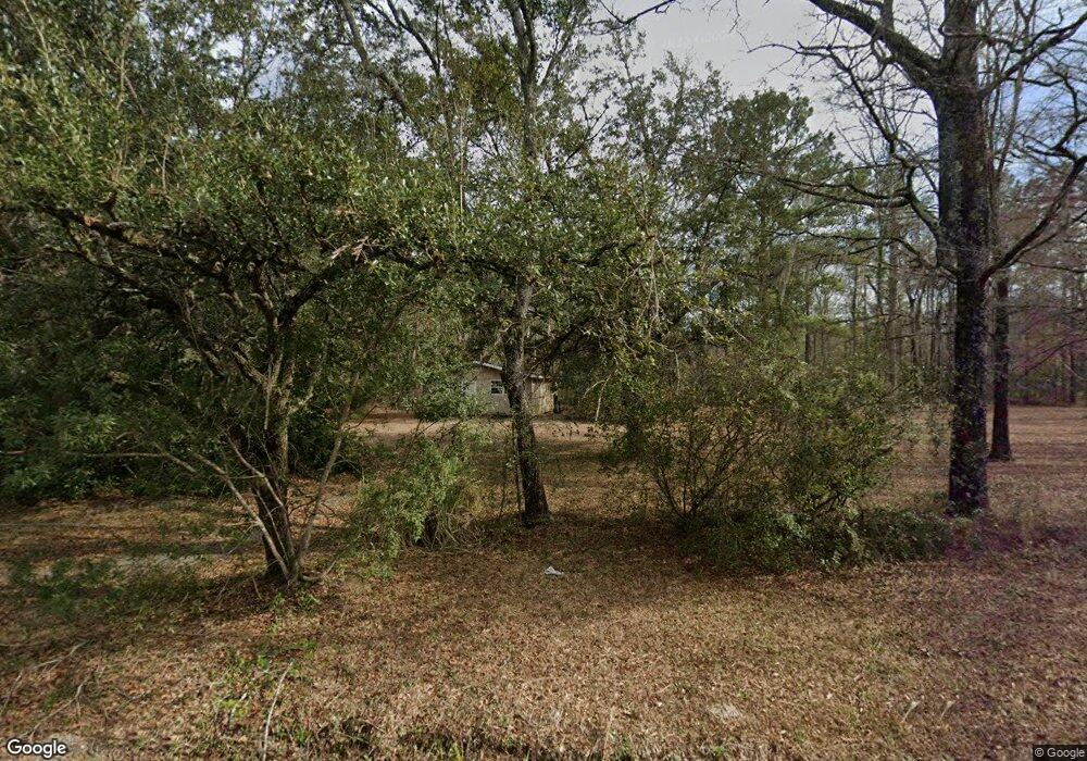
321 Earl Rd Georgetown, SC 29440
Estimated Value: $62,000 - $309,000
2
Beds
1
Bath
1,025
Sq Ft
$126/Sq Ft
Est. Value
About This Home
This home is located at 321 Earl Rd, Georgetown, SC 29440 and is currently estimated at $129,369, approximately $126 per square foot. 321 Earl Rd is a home located in Georgetown County with nearby schools including Sampit Elementary School, Georgetown Middle School, and Georgetown High School.
Ownership History
Date
Name
Owned For
Owner Type
Purchase Details
Closed on
Dec 9, 2011
Sold by
Harbour Porfolio Vi Lp
Bought by
Small Jimmy O
Current Estimated Value
Purchase Details
Closed on
Apr 7, 2011
Sold by
Fannie Mae
Bought by
Harbour Portfolio Vi Lp
Purchase Details
Closed on
Dec 24, 2010
Sold by
Altman Silja
Bought by
Federal National Mortgage Association
Purchase Details
Closed on
Sep 25, 2006
Sold by
Altman Donald
Bought by
Altman Silja
Purchase Details
Closed on
Sep 7, 2005
Sold by
Altman Mackie G and Altman Mildred
Bought by
Altman Donald and Altman Silja
Home Financials for this Owner
Home Financials are based on the most recent Mortgage that was taken out on this home.
Original Mortgage
$44,290
Interest Rate
5.86%
Mortgage Type
Future Advance Clause Open End Mortgage
Purchase Details
Closed on
Mar 24, 2004
Sold by
Altman Dolores
Bought by
Altman Mackie G and Altman Mildred
Create a Home Valuation Report for This Property
The Home Valuation Report is an in-depth analysis detailing your home's value as well as a comparison with similar homes in the area
Purchase History
| Date | Buyer | Sale Price | Title Company |
|---|---|---|---|
| Small Jimmy O | $17,000 | -- | |
| Harbour Portfolio Vi Lp | $14,243 | -- | |
| Federal National Mortgage Association | $10,000 | -- | |
| Altman Silja | -- | None Available | |
| Altman Donald | $44,290 | -- | |
| Altman Mackie G | -- | -- |
Source: Public Records
Mortgage History
| Date | Status | Borrower | Loan Amount |
|---|---|---|---|
| Previous Owner | Altman Donald | $44,290 |
Source: Public Records
Tax History
| Year | Tax Paid | Tax Assessment Tax Assessment Total Assessment is a certain percentage of the fair market value that is determined by local assessors to be the total taxable value of land and additions on the property. | Land | Improvement |
|---|---|---|---|---|
| 2025 | $506 | $1,620 | $370 | $1,250 |
| 2024 | $506 | $2,120 | $370 | $1,750 |
| 2023 | $671 | $2,120 | $370 | $1,750 |
| 2022 | $629 | $2,120 | $370 | $1,750 |
| 2021 | $614 | $0 | $0 | $0 |
| 2020 | $613 | $0 | $0 | $0 |
| 2019 | $604 | $0 | $0 | $0 |
| 2018 | $611 | $0 | $0 | $0 |
| 2017 | $476 | $0 | $0 | $0 |
| 2016 | $473 | $2,088 | $0 | $0 |
| 2015 | $535 | $0 | $0 | $0 |
| 2014 | $535 | $33,600 | $6,200 | $27,400 |
| 2012 | -- | $58,400 | $7,000 | $51,400 |
Source: Public Records
Map
Nearby Homes
- 0 Rustwood Dr
- TBD Pepperberry Ln
- 9816 Powell Rd
- 269 Belladonna Ct
- Lot 13 County Road S-22-744
- 7 Santee Landing Rd
- 0 S Us Hwy 17 Unit 312563
- 0 S Us Hwy 17 Unit 22667686
- 839 Burgin Rd
- 139 Ernestine Dr
- 00 S Santee Rd
- 669 George Washington Trail
- 437 Deer Run Ave Unit 437 and 607 Deer Run
- 133 Thrush Ct
- 528 George Washington Trail
- 208 Mammoth Dr
- 0
- 76 Brock St
- 676 Gravel Gulley Rd
- 3934 S Fraser St
- 265 Earl Rd
- 42 Damarka Dr
- 163 Damarka Dr
- 121 Feagen Dr
- 65 Feagen Dr
- 147 Fiddleway Way
- 143 Feagen Dr
- 147 Feagen Dr
- 147 Feagen Dr
- 87 Feagen Dr
- 183 Harris Landing Rd
- 445 Harris Landing Rd
- 149 Boykin Rd
- 462 Harris Landing Rd
- 495 Harris Landing Rd
- 53 Boykin Rd
- 123 John Moultrie Rd
- 255 Harris Landing Rd
- 541 Harris Landing Rd
- 541 Harris Landing Rd
Your Personal Tour Guide
Ask me questions while you tour the home.