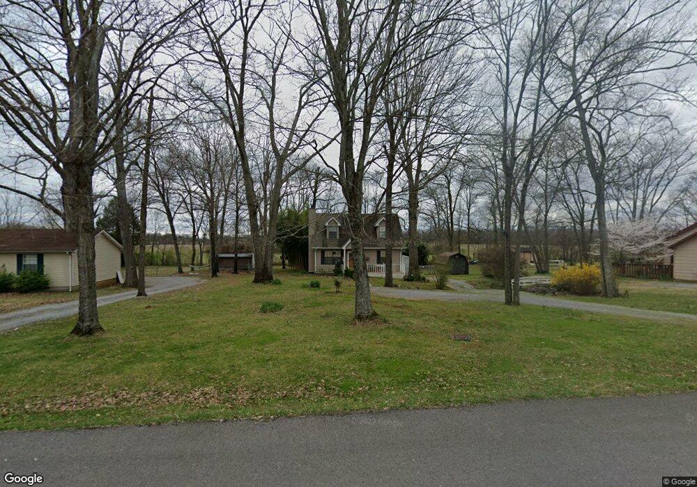
321 Eton Rd Smyrna, TN 37167
Estimated Value: $276,721 - $352,000
--
Bed
2
Baths
1,116
Sq Ft
$284/Sq Ft
Est. Value
About This Home
This home is located at 321 Eton Rd, Smyrna, TN 37167 and is currently estimated at $316,930, approximately $283 per square foot. 321 Eton Rd is a home located in Rutherford County with nearby schools including Rocky Fork Elementary School, Rocky Fork Middle School, and Smyrna High School.
Ownership History
Date
Name
Owned For
Owner Type
Purchase Details
Closed on
Nov 9, 2001
Sold by
Harmon and Donnalilta
Bought by
Polk Jeffrey B
Current Estimated Value
Purchase Details
Closed on
Oct 3, 2000
Sold by
Gadd Buddy C
Bought by
Federal Home Loan Mtg
Purchase Details
Closed on
Nov 3, 1993
Sold by
Wilson Donald B
Bought by
Gadd Buddy C
Create a Home Valuation Report for This Property
The Home Valuation Report is an in-depth analysis detailing your home's value as well as a comparison with similar homes in the area
Home Values in the Area
Average Home Value in this Area
Purchase History
| Date | Buyer | Sale Price | Title Company |
|---|---|---|---|
| Polk Jeffrey B | $94,500 | -- | |
| Federal Home Loan Mtg | $69,900 | -- | |
| Gadd Buddy C | $65,000 | -- |
Source: Public Records
Mortgage History
| Date | Status | Borrower | Loan Amount |
|---|---|---|---|
| Open | Gadd Buddy C | $20,000 |
Source: Public Records
Tax History Compared to Growth
Tax History
| Year | Tax Paid | Tax Assessment Tax Assessment Total Assessment is a certain percentage of the fair market value that is determined by local assessors to be the total taxable value of land and additions on the property. | Land | Improvement |
|---|---|---|---|---|
| 2025 | $1,356 | $56,450 | $13,750 | $42,700 |
| 2024 | $1,356 | $56,450 | $13,750 | $42,700 |
| 2023 | $1,356 | $56,450 | $13,750 | $42,700 |
| 2022 | $1,177 | $54,925 | $13,750 | $41,175 |
| 2021 | $1,129 | $38,650 | $8,750 | $29,900 |
| 2020 | $1,129 | $38,650 | $8,750 | $29,900 |
| 2019 | $1,129 | $38,650 | $8,750 | $29,900 |
| 2018 | $1,082 | $38,650 | $0 | $0 |
| 2017 | $837 | $23,475 | $0 | $0 |
| 2016 | $837 | $23,475 | $0 | $0 |
| 2015 | $837 | $23,475 | $0 | $0 |
| 2014 | $584 | $23,475 | $0 | $0 |
| 2013 | -- | $22,000 | $0 | $0 |
Source: Public Records
Map
Nearby Homes
- 620 General Barksdale Dr
- 607 General Barksdale Dr
- 920 Sky Valley Trail
- 2028 Caladonia Way
- 2064 Caladonia Way
- 4074 Utica St
- 305 Wildwood Dr
- 1034 Leadville Dr
- 510 Lydia Ashley Ln
- 490 Lydia Ashley Ln
- 3057 Burnt Pine Dr
- 2090 Caladonia Way
- 1011 Sky Valley Trail
- 3039 Burnt Pine Dr
- 825 General Forrest Dr
- 708 Rock Glen Trace
- 1036 Harold Lee Dr
- 3480 Gambill Ln
- 527 Hawk Cove
- 647 Legacy Dr