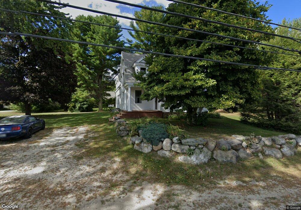
321 Gloucester Hill Rd New Gloucester, ME 04260
Estimated Value: $376,000 - $475,000
4
Beds
2
Baths
1,556
Sq Ft
$273/Sq Ft
Est. Value
About This Home
This home is located at 321 Gloucester Hill Rd, New Gloucester, ME 04260 and is currently estimated at $425,414, approximately $273 per square foot. 321 Gloucester Hill Rd is a home located in Cumberland County with nearby schools including Gray-New Gloucester High School and Fiddlehead School of Arts & Science.
Ownership History
Date
Name
Owned For
Owner Type
Purchase Details
Closed on
Aug 10, 2012
Sold by
Doughty Cristin A and Doughty Peter C
Bought by
Bell James M and Connolly Adelyn S
Current Estimated Value
Home Financials for this Owner
Home Financials are based on the most recent Mortgage that was taken out on this home.
Original Mortgage
$171,428
Outstanding Balance
$118,079
Interest Rate
3.7%
Mortgage Type
New Conventional
Estimated Equity
$307,335
Create a Home Valuation Report for This Property
The Home Valuation Report is an in-depth analysis detailing your home's value as well as a comparison with similar homes in the area
Home Values in the Area
Average Home Value in this Area
Purchase History
| Date | Buyer | Sale Price | Title Company |
|---|---|---|---|
| Bell James M | -- | -- |
Source: Public Records
Mortgage History
| Date | Status | Borrower | Loan Amount |
|---|---|---|---|
| Open | Bell James M | $171,428 |
Source: Public Records
Tax History Compared to Growth
Tax History
| Year | Tax Paid | Tax Assessment Tax Assessment Total Assessment is a certain percentage of the fair market value that is determined by local assessors to be the total taxable value of land and additions on the property. | Land | Improvement |
|---|---|---|---|---|
| 2025 | $2,763 | $178,622 | $55,098 | $123,524 |
| 2024 | $2,660 | $178,622 | $55,098 | $123,524 |
| 2023 | $2,553 | $178,622 | $55,098 | $123,524 |
| 2022 | $2,465 | $178,622 | $55,098 | $123,524 |
| 2021 | $2,465 | $178,622 | $55,098 | $123,524 |
| 2020 | $2,438 | $178,622 | $55,098 | $123,524 |
| 2019 | $2,601 | $153,900 | $51,300 | $102,600 |
| 2018 | $2,422 | $153,300 | $51,300 | $102,000 |
| 2017 | $2,391 | $153,300 | $51,300 | $102,000 |
| 2016 | $2,254 | $153,300 | $51,300 | $102,000 |
| 2015 | $2,246 | $153,300 | $51,300 | $102,000 |
| 2014 | $2,223 | $153,300 | $51,300 | $102,000 |
| 2013 | $2,062 | $153,300 | $51,300 | $102,000 |
Source: Public Records
Map
Nearby Homes
- 155 & 151 Gloucester Hill Rd
- 0018-C Gloucester Hill Rd
- 160 Gloucester Hill Rd
- 29 Rockwood Dr
- 22 Shaw Rd
- 271 Bennett Rd
- TBD Targett Rd
- 10 Cobbs Bridge Rd
- 24 Swamp Rd
- 164 Intervale Rd
- 0 Mayall
- 200 Woodman Rd
- 343 Shaker Rd
- 14 Golden Way
- 12 Country Charm Ln
- 423 Sabbathday Rd
- 27 Callaway Dr Unit 27A
- 27 Callaway Dr Unit 27B
- 17 Callaway Dr Unit 17
- 136 Shaker Rd
- 331 Gloucester Hill Rd
- 309 Gloucester Hill Rd
- 316 Gloucester Hill Rd
- 326 Gloucester Hill Rd
- 308 Gloucester Hill Rd
- 339 Gloucester Hill Rd
- 3 Webster Dr
- 24 Short Bennett Rd
- 44 Neptune Dr
- 352 Gloucester Hill Rd
- 353 Gloucester Hill Rd
- 0 Penney Rd Lot 3
- 356 Gloucester Hill Rd
- 359 Gloucester Hill Rd
- 341 Lewiston Rd
- 362 Gloucester Hill Rd
- 28 Penney Rd
- 363 Gloucester Hill Rd
- 337 Lewiston Rd
- 48 Chief Wahoo Dr