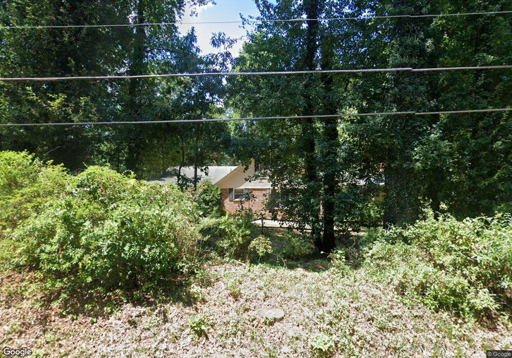
321 Hembree Rd Anderson, SC 29625
Estimated Value: $237,000 - $288,000
4
Beds
--
Bath
2,115
Sq Ft
$121/Sq Ft
Est. Value
About This Home
This home is located at 321 Hembree Rd, Anderson, SC 29625 and is currently estimated at $256,886, approximately $121 per square foot. 321 Hembree Rd is a home located in Anderson County with nearby schools including Whitehall Elementary School, Westside High School, and Anderson Institute of Technology.
Ownership History
Date
Name
Owned For
Owner Type
Purchase Details
Closed on
Jun 12, 2009
Sold by
Pearman Ann H
Bought by
Ulm Ann H and Ulm Irwin A
Current Estimated Value
Home Financials for this Owner
Home Financials are based on the most recent Mortgage that was taken out on this home.
Original Mortgage
$128,000
Outstanding Balance
$80,872
Interest Rate
4.77%
Mortgage Type
Purchase Money Mortgage
Estimated Equity
$176,014
Purchase Details
Closed on
Oct 7, 2005
Sold by
Pearman Ann Hutchins
Bought by
Pearman Ann H
Purchase Details
Closed on
Mar 26, 1999
Sold by
Burnette Gary M
Bought by
Pearman Fred E
Create a Home Valuation Report for This Property
The Home Valuation Report is an in-depth analysis detailing your home's value as well as a comparison with similar homes in the area
Home Values in the Area
Average Home Value in this Area
Purchase History
| Date | Buyer | Sale Price | Title Company |
|---|---|---|---|
| Ulm Ann H | -- | -- | |
| Pearman Ann H | -- | -- | |
| Pearman Fred E | $120,000 | -- |
Source: Public Records
Mortgage History
| Date | Status | Borrower | Loan Amount |
|---|---|---|---|
| Open | Ulm Ann H | $128,000 |
Source: Public Records
Tax History Compared to Growth
Tax History
| Year | Tax Paid | Tax Assessment Tax Assessment Total Assessment is a certain percentage of the fair market value that is determined by local assessors to be the total taxable value of land and additions on the property. | Land | Improvement |
|---|---|---|---|---|
| 2024 | $947 | $8,880 | $900 | $7,980 |
| 2023 | $947 | $8,880 | $900 | $7,980 |
| 2022 | $916 | $8,880 | $900 | $7,980 |
| 2021 | $820 | $7,200 | $640 | $6,560 |
| 2020 | $812 | $7,200 | $640 | $6,560 |
| 2019 | $812 | $7,200 | $640 | $6,560 |
| 2018 | $825 | $7,200 | $640 | $6,560 |
| 2017 | -- | $7,200 | $640 | $6,560 |
| 2016 | $734 | $7,190 | $600 | $6,590 |
| 2015 | $749 | $7,190 | $600 | $6,590 |
| 2014 | $744 | $7,190 | $600 | $6,590 |
Source: Public Records
Map
Nearby Homes
- 309 Hembree Rd
- 216 Maplewood Rd
- 00 Martin Luther King jr Blvd
- 2904 Birch St
- 8 Rivanna Dr
- 705 Whitehall Rd
- 500 Whitehall Rd
- 185 Norfolk Cir
- 204 Beauregard Ave
- 322 Whitehall Rd
- 401 Whitehall Rd
- 111 Tanglewood Dr
- 505 Brookgreen Ct
- 428 Starkes St
- 401 Phil Watson Rd
- 207 Ashwood Ln
- 207 Mayfield Dr
- 211 Westwind Rd
- 157 Bleckley Trail
- 301 Woodlake Rd
- 319 Hembree Rd
- 122 Brentwood Cir
- 120 Brentwood Cir
- 317 Hembree Rd
- 118 Brentwood Cir
- 114 Brentwood Cir
- 313 Hembree Rd
- 200 Brentwood Cir
- 201 Brentwood Cir
- 311 Hembree Rd
- 202 Brentwood Cir
- 203 Brentwood Cir
- 113 Brentwood Cir
- 111 Brentwood Cir
- 204 Brentwood Cir
- 205 Brentwood Cir
- 330 Hembree Rd
- 109 Brentwood Cir
- 206 Brentwood Cir
- 307 Hembree Rd