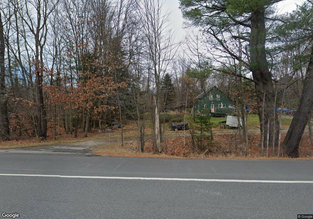
321 John Stark Hwy Newport, NH 03773
Estimated Value: $209,000 - $305,000
3
Beds
1
Bath
1,199
Sq Ft
$214/Sq Ft
Est. Value
About This Home
This home is located at 321 John Stark Hwy, Newport, NH 03773 and is currently estimated at $256,097, approximately $213 per square foot. 321 John Stark Hwy is a home located in Sullivan County with nearby schools including Richards Elementary School, Newport High School, and Newport Montessori School.
Create a Home Valuation Report for This Property
The Home Valuation Report is an in-depth analysis detailing your home's value as well as a comparison with similar homes in the area
Home Values in the Area
Average Home Value in this Area
Tax History Compared to Growth
Tax History
| Year | Tax Paid | Tax Assessment Tax Assessment Total Assessment is a certain percentage of the fair market value that is determined by local assessors to be the total taxable value of land and additions on the property. | Land | Improvement |
|---|---|---|---|---|
| 2024 | $4,062 | $167,100 | $85,000 | $82,100 |
| 2023 | $3,940 | $167,100 | $85,000 | $82,100 |
| 2022 | $3,480 | $166,500 | $85,000 | $81,500 |
| 2021 | $2,666 | $80,800 | $46,200 | $34,600 |
| 2020 | $2,674 | $80,800 | $46,200 | $34,600 |
| 2019 | $2,628 | $80,800 | $46,200 | $34,600 |
| 2018 | $2,456 | $80,800 | $46,200 | $34,600 |
| 2017 | $2,427 | $80,800 | $46,200 | $34,600 |
| 2016 | $2,445 | $85,100 | $42,200 | $42,900 |
| 2015 | $2,489 | $85,100 | $42,200 | $42,900 |
| 2014 | $2,693 | $85,100 | $42,200 | $42,900 |
| 2013 | $2,552 | $85,100 | $42,200 | $42,900 |
Source: Public Records
Map
Nearby Homes
- 146 Elm St
- 12 4th St
- 39 Myrtle St
- 430 John Stark Hwy
- 680-2 John Stark Hwy
- 9 Depot St
- 13 Fairbanks Rd
- 37 Park St
- 11 Putnam Rd
- 151 Cheney St
- 8 Prospect St
- 38 River St
- 150 S Main St
- 736 John Stark Hwy
- 0 Unity Rd
- 434 S Main St
- 4 River View Rd Unit Lot 4 Phase II
- 44 Brook View Rd
- 45 Brook View Rd
- 33 Brook View Rd
- 0 Whitcher Rd Unit 4254704
- 11 Whitcher Rd
- 351 John Stark Hwy
- 289 John Stark Hwy
- 361 John Stark Hwy
- 24 Brown Rd
- 279 John Stark Hwy
- 300 John Stark Hwy
- 300 John Stark Hwy
- 23 Brown Rd
- 17 Brown Rd
- 00 Brown Rd
- 0 Brown Rd
- 42 Whitcher Rd
- 56 Whitcher Rd
- 55 Whitcher Rd
- 49 Whitcher Rd
- 243 John Stark Hwy
- 74 Whitcher Rd
- 233 John Stark Hwy