321 Kitty Hawk Cir Brandon, MS 39047
Estimated Value: $378,012 - $480,000
3
Beds
2
Baths
2,841
Sq Ft
$148/Sq Ft
Est. Value
About This Home
This home is located at 321 Kitty Hawk Cir, Brandon, MS 39047 and is currently estimated at $420,253, approximately $147 per square foot. 321 Kitty Hawk Cir is a home with nearby schools including Oakdale Elementary School, Northwest Rankin Middle School, and Northwest Rankin High School.
Ownership History
Date
Name
Owned For
Owner Type
Purchase Details
Closed on
Jun 13, 2014
Sold by
Myrtle Myrtle and Blanchard Donald D
Bought by
Baldwin Douglas O and Baldwin Joann S
Current Estimated Value
Home Financials for this Owner
Home Financials are based on the most recent Mortgage that was taken out on this home.
Original Mortgage
$253,000
Outstanding Balance
$189,822
Interest Rate
4.23%
Mortgage Type
VA
Estimated Equity
$230,431
Purchase Details
Closed on
Mar 9, 2011
Sold by
Sherri Sherri and Curtis Sherri W
Bought by
Turner James R and Turner Lana K
Create a Home Valuation Report for This Property
The Home Valuation Report is an in-depth analysis detailing your home's value as well as a comparison with similar homes in the area
Purchase History
| Date | Buyer | Sale Price | Title Company |
|---|---|---|---|
| Baldwin Douglas O | -- | -- | |
| Turner James R | -- | -- |
Source: Public Records
Mortgage History
| Date | Status | Borrower | Loan Amount |
|---|---|---|---|
| Open | Baldwin Douglas O | $253,000 |
Source: Public Records
Tax History
| Year | Tax Paid | Tax Assessment Tax Assessment Total Assessment is a certain percentage of the fair market value that is determined by local assessors to be the total taxable value of land and additions on the property. | Land | Improvement |
|---|---|---|---|---|
| 2025 | $2,642 | $25,915 | $0 | $0 |
| 2024 | $2,491 | $25,915 | $0 | $0 |
| 2023 | -- | $24,308 | $0 | $0 |
| 2022 | $0 | $24,308 | $0 | $0 |
| 2021 | $0 | $24,308 | $0 | $0 |
| 2020 | $0 | $24,308 | $0 | $0 |
| 2019 | $0 | $21,527 | $0 | $0 |
| 2018 | $0 | $21,527 | $0 | $0 |
| 2017 | $0 | $21,527 | $0 | $0 |
| 2016 | $0 | $20,582 | $0 | $0 |
| 2015 | -- | $20,582 | $0 | $0 |
| 2014 | $1,188 | $20,582 | $0 | $0 |
| 2013 | $136 | $1,500 | $0 | $0 |
Source: Public Records
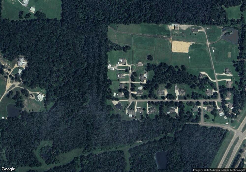
Map
Nearby Homes
- 102 Horseshoe Cir
- 0 Stull Rd Unit 24042681
- 234 Lost Oak Ln
- 290 Mount Helm Rd
- Lot 11 Mount Helm Rd
- Lot 10 Mount Helm Rd
- 5 Mount Helm Rd
- Lot 9 Mount Helm Rd
- Lot 6 Mount Helm Rd
- Lot 7 Mount Helm Rd
- Lot 8 Mount Helm Rd
- 0 Mount Helm Rd Unit 4124967
- 468 Wimbledon Dr
- 687 Bearing Way
- 547 Clark Stables Rd
- 551 Clark Stables Rd
- 2713 Highway 471
- 117 Hollybush Place
- 664 Stull Rd Unit 10
- 108 Holly Bush Rd
- 319 Kitty Hawk Cir
- 323 Kitty Hawk Cir
- 506 Kitty Hawk Cir Unit 5 & 6
- 506 Kitty Hawk Cir
- 0 Kitty Hawk Cir Unit 210145
- 0 Kitty Hawk Cir Unit 19 210152
- 0 Kitty Hawk Cir Unit 219476
- 0 Kitty Hawk Cir Unit 18 225030
- 0 Kitty Hawk Cir Unit 2 237722
- 0 Kitty Hawk Cir Unit 246608
- 0 Kitty Hawk Cir Unit 18 253837
- 0 Kitty Hawk Cir Unit 19 1210152
- 0 Kitty Hawk Cir Unit 18 1225030
- 0 Kitty Hawk Cir Unit 18 1253837
- 0 Kitty Hawk Cir Unit Lot 24 1153843
- 0 Kitty Hawk Cir Unit Lot 25 1153845
- 0 Kitty Hawk Cir Unit 2 1237722
- 0 Kitty Hawk Cir Unit 1210145
- 0 Kitty Hawk Cir Unit 1219476
- 0 Kitty Hawk Cir Unit 1246608
Your Personal Tour Guide
Ask me questions while you tour the home.