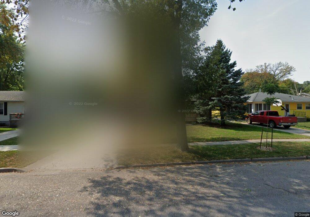
321 Linden St New Ulm, MN 56073
Estimated Value: $199,000 - $229,000
3
Beds
1
Bath
978
Sq Ft
$221/Sq Ft
Est. Value
About This Home
This home is located at 321 Linden St, New Ulm, MN 56073 and is currently estimated at $215,939, approximately $220 per square foot. 321 Linden St is a home located in Brown County with nearby schools including Washington Elementary School, Jefferson Elementary School, and New Ulm High School.
Ownership History
Date
Name
Owned For
Owner Type
Purchase Details
Closed on
Mar 7, 2025
Sold by
Zupfer Mary Jo and Zupfer Richard
Bought by
Wise Matthew E
Current Estimated Value
Home Financials for this Owner
Home Financials are based on the most recent Mortgage that was taken out on this home.
Original Mortgage
$193,500
Outstanding Balance
$192,513
Interest Rate
6.89%
Mortgage Type
New Conventional
Estimated Equity
$23,426
Create a Home Valuation Report for This Property
The Home Valuation Report is an in-depth analysis detailing your home's value as well as a comparison with similar homes in the area
Home Values in the Area
Average Home Value in this Area
Purchase History
| Date | Buyer | Sale Price | Title Company |
|---|---|---|---|
| Wise Matthew E | $215,000 | Minnesota River Valley Title |
Source: Public Records
Mortgage History
| Date | Status | Borrower | Loan Amount |
|---|---|---|---|
| Open | Wise Matthew E | $193,500 |
Source: Public Records
Tax History Compared to Growth
Tax History
| Year | Tax Paid | Tax Assessment Tax Assessment Total Assessment is a certain percentage of the fair market value that is determined by local assessors to be the total taxable value of land and additions on the property. | Land | Improvement |
|---|---|---|---|---|
| 2024 | $1,900 | $158,800 | $29,500 | $129,300 |
| 2023 | $1,900 | $155,100 | $29,500 | $125,600 |
| 2022 | $1,668 | $139,800 | $25,600 | $114,200 |
| 2021 | $1,668 | $121,500 | $25,600 | $95,900 |
| 2020 | $1,576 | $122,300 | $25,600 | $96,700 |
| 2019 | $1,522 | $116,500 | $24,600 | $91,900 |
| 2018 | $1,446 | $114,900 | $24,600 | $90,300 |
| 2017 | $1,384 | $106,500 | $24,600 | $81,900 |
| 2016 | $1,400 | $104,148 | $0 | $0 |
| 2015 | -- | $0 | $0 | $0 |
| 2014 | -- | $0 | $0 | $0 |
| 2013 | -- | $0 | $0 | $0 |
Source: Public Records
Map
Nearby Homes
- 400 Monument St
- 414 N Payne St
- 117 N Payne St
- 135 Bianchi Dr
- 0 Tbd Hwy 14
- 1430 N 6th St
- 125 Bianchi Dr
- 0 Tbd Water St Unit 7038864
- 0 Tbd N 12t5h St Unit 7030474
- 0 Tbd N 12th Unit 7030473
- 0 Tbd N 12th Unit 7030477
- 0 Tbd N 12th Unit 7030471
- 0 Tbd N 12th Unit 7030464
- 0 Tbd N 12th Unit 7030472
- 0 Tbd N 12th Unit 7030470
- 0 Tbd N 12th Unit 7030469
- 0 Tbd N 12th Unit 7030475
- 0 Tbd N 12th Unit 7030465
- 0 Tbd N 12th Unit 7030463
- 0 Tbd N 12th Unit 7030468