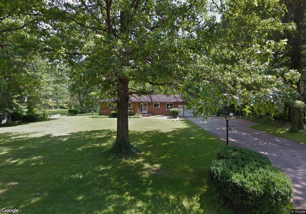
321 Longview Ave Youngstown, OH 44512
Estimated Value: $272,000 - $375,000
4
Beds
3
Baths
2,174
Sq Ft
$140/Sq Ft
Est. Value
About This Home
This home is located at 321 Longview Ave, Youngstown, OH 44512 and is currently estimated at $304,154, approximately $139 per square foot. 321 Longview Ave is a home located in Mahoning County with nearby schools including West Boulevard Elementary School, Boardman Center Middle School, and Boardman High School.
Ownership History
Date
Name
Owned For
Owner Type
Purchase Details
Closed on
Dec 6, 2002
Sold by
Hull Douglas J and Hull Nancy P
Bought by
Hammond Barry L
Current Estimated Value
Home Financials for this Owner
Home Financials are based on the most recent Mortgage that was taken out on this home.
Original Mortgage
$136,000
Outstanding Balance
$58,460
Interest Rate
6.25%
Estimated Equity
$245,694
Purchase Details
Closed on
Nov 30, 1981
Bought by
Hull Douglas J and Hull Nancy P
Create a Home Valuation Report for This Property
The Home Valuation Report is an in-depth analysis detailing your home's value as well as a comparison with similar homes in the area
Home Values in the Area
Average Home Value in this Area
Purchase History
| Date | Buyer | Sale Price | Title Company |
|---|---|---|---|
| Hammond Barry L | $140,500 | -- | |
| Hull Douglas J | -- | -- |
Source: Public Records
Mortgage History
| Date | Status | Borrower | Loan Amount |
|---|---|---|---|
| Open | Hammond Barry L | $136,000 |
Source: Public Records
Tax History Compared to Growth
Tax History
| Year | Tax Paid | Tax Assessment Tax Assessment Total Assessment is a certain percentage of the fair market value that is determined by local assessors to be the total taxable value of land and additions on the property. | Land | Improvement |
|---|---|---|---|---|
| 2024 | $3,631 | $81,660 | $10,960 | $70,700 |
| 2023 | $3,613 | $81,660 | $10,960 | $70,700 |
| 2022 | $3,742 | $66,230 | $10,100 | $56,130 |
| 2021 | $3,745 | $66,230 | $10,100 | $56,130 |
| 2020 | $3,764 | $66,230 | $10,100 | $56,130 |
| 2019 | $3,196 | $52,360 | $9,180 | $43,180 |
| 2018 | $2,763 | $52,360 | $9,180 | $43,180 |
| 2017 | $2,714 | $52,360 | $9,180 | $43,180 |
| 2016 | $2,668 | $50,490 | $9,180 | $41,310 |
| 2015 | $2,615 | $50,490 | $9,180 | $41,310 |
| 2014 | $2,622 | $50,490 | $9,180 | $41,310 |
| 2013 | $2,589 | $50,490 | $9,180 | $41,310 |
Source: Public Records
Map
Nearby Homes
- 169 Wolcott Dr
- 715 Crestview Dr
- 396 Brookfield Ave
- 242 Oakley Ave
- 103 Wildwood Dr
- 6511 Pembrooke Place
- 5200 West Blvd Unit 505
- 768 Crestview Dr
- 772 Ewing Rd
- 272 Shields Rd
- 6892 Glenwood Ave
- 6726 Glendale Ave
- 26 Marlindale Ave
- 96 Aylesboro Ave
- 44 Gertrude Ave
- 537 W Glen Dr
- 5020 Friendship Ave
- 7005 Paxton Rd
- 88 Arlene Ave
- 813 Brookfield Ave
- 0 Longview Trail
- 5990 Glenwood Ave
- 5986 Glenwood Ave
- 6102 Glenwood Ave
- 5971 Parkland Ave
- 6110 Glenwood Ave
- 5980 Glenwood Ave
- 6116 Glenwood Ave
- 5976 Parkland Ave
- 6120 Glenwood Ave
- 5995 Northlawn Ave
- 6105 Northlawn Ave
- 5997 Glenwood Ave
- 5912 Glenwood Ave
- 5989 Northlawn Ave
- 5969 Parkland Ave
- 5985 Glenwood Ave
- 6113 Northlawn Ave
- 5983 Northlawn Ave
- 6103 Glenwood Ave