Estimated Value: $107,641
Studio
2
Baths
1,890
Sq Ft
$57/Sq Ft
Est. Value
About This Home
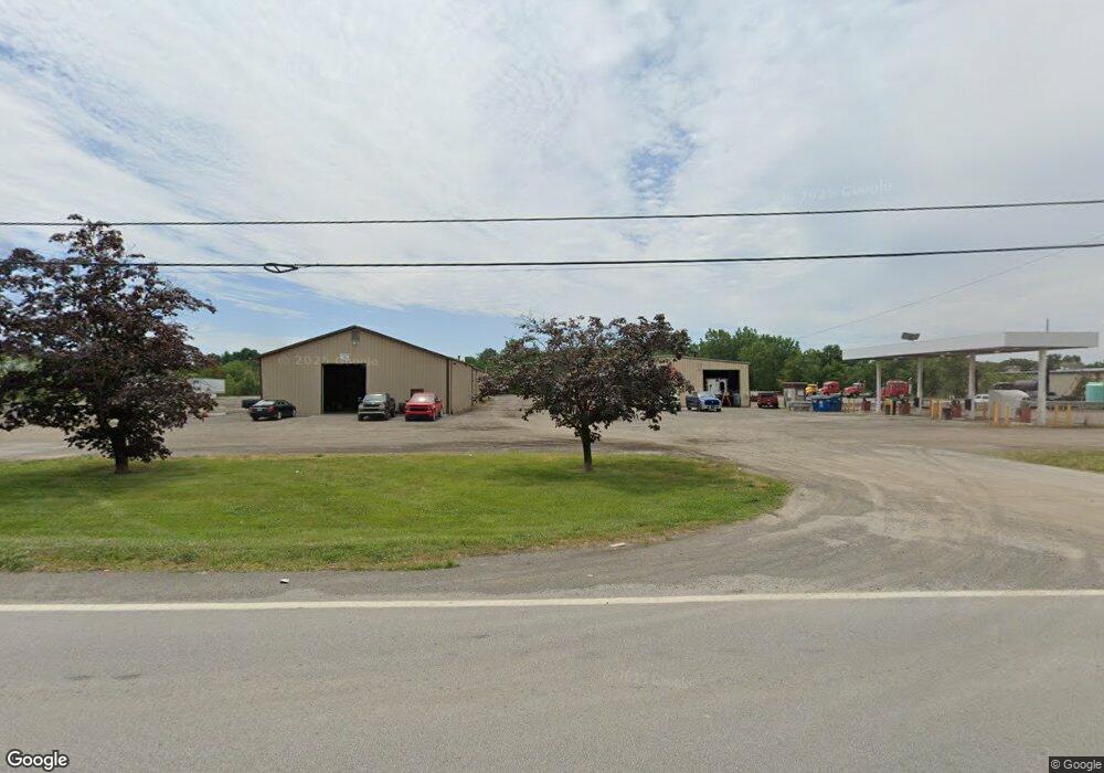
This home is located at 321 Main St, Delta, OH 43515 and is currently estimated at $107,641, approximately $56 per square foot. 321 Main St is a home located in Fulton County with nearby schools including Delta Elementary School, Pike-Delta-York Middle School, and Pike-Delta-York High School.
Ownership History
Date
Name
Owned For
Owner Type
Purchase Details
Closed on
Feb 28, 2022
Sold by
Meister Joan B
Bought by
Vandco Rentals Llc
Current Estimated Value
Home Financials for this Owner
Home Financials are based on the most recent Mortgage that was taken out on this home.
Original Mortgage
$63,958
Outstanding Balance
$51,127
Interest Rate
2.93%
Mortgage Type
New Conventional
Estimated Equity
$56,514
Purchase Details
Closed on
Feb 15, 2001
Sold by
Andersons Inc
Bought by
Wasny Alan R
Purchase Details
Closed on
Jan 1, 1990
Bought by
Meister Sheldon C - Joan
Create a Home Valuation Report for This Property
The Home Valuation Report is an in-depth analysis detailing your home's value as well as a comparison with similar homes in the area
Home Values in the Area
Average Home Value in this Area
Purchase History
| Date | Buyer | Sale Price | Title Company |
|---|---|---|---|
| Vandco Rentals Llc | -- | None Listed On Document | |
| Wasny Alan R | $236,500 | -- | |
| Meister Sheldon C - Joan | -- | -- |
Source: Public Records
Mortgage History
| Date | Status | Borrower | Loan Amount |
|---|---|---|---|
| Open | Vandco Rentals Llc | $63,958 |
Source: Public Records
Map
Nearby Homes
- 308 Monroe St
- 207 Wood St
- 305 Mckinley St
- 518 Providence St
- 929 Linwood Ave
- 8069 Fulton County 7-2
- 8069 County Road 7
- 9136 County Road Ef
- 318 Hidden Ridge Dr
- 2049 Pear Tree Ln
- 2061 Redbud Ln
- 315 Cherrytree Ln
- 2158 Redbud Ln
- 320 Crabtree Ln
- 11470 County Rd E
- 7373 County Road 12
- 6881 County Road B
- 13242 Us Highway 20a
- 1090 Seneca Dr
- 1062 Seneca Dr
- 324 W Main St
- 320 W Main St
- 316 W Main St
- 328 W Main St
- 0 Co Rd Fg Unit 5005869
- 0 Co Rd Fg Unit 4601792
- 0 Co Rd Fg Unit 4588424
- 400 W Main St
- 301 W Main St
- 404 W Main St
- 0 Airport Hwy Unit 6020863
- 0 Airport Hwy Unit 5005870
- 0 Airport Hwy Unit 5025051
- 0 Airport Hwy Unit 5045243
- 0 Airport Hwy Unit 5074079
- 0 Airport Hwy Unit 4588421
- 0 Airport Hwy Unit 9001891
- 0 Airport Hwy Unit 9001897
- 0 Airport Hwy Unit 4601791
- 0 Airport Hwy Unit 5098990
Your Personal Tour Guide
Ask me questions while you tour the home.