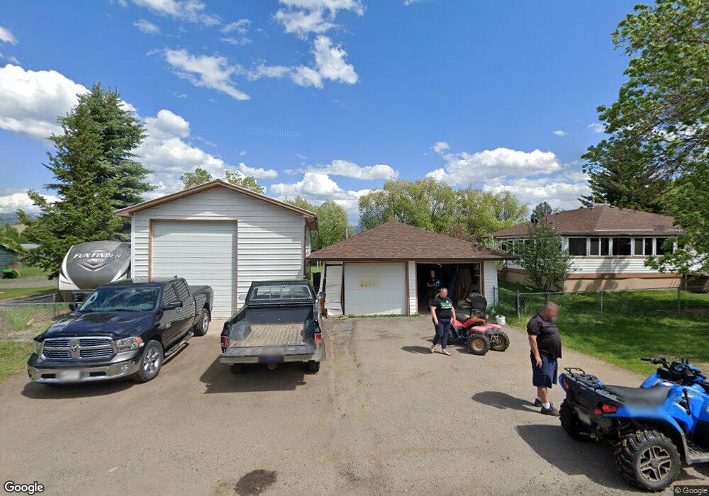
321 N Adams St Boulder, MT 59632
Estimated Value: $349,000 - $422,000
4
Beds
2
Baths
1,232
Sq Ft
$316/Sq Ft
Est. Value
About This Home
This home is located at 321 N Adams St, Boulder, MT 59632 and is currently estimated at $389,269, approximately $315 per square foot. 321 N Adams St is a home with nearby schools including Jefferson High School.
Ownership History
Date
Name
Owned For
Owner Type
Purchase Details
Closed on
Jan 10, 2020
Sold by
Hayes Ronnie and Hayes Rachel
Bought by
Hayes Ronnie and Hayes Rachel
Current Estimated Value
Home Financials for this Owner
Home Financials are based on the most recent Mortgage that was taken out on this home.
Original Mortgage
$178,400
Outstanding Balance
$158,017
Interest Rate
3.73%
Mortgage Type
VA
Estimated Equity
$231,252
Purchase Details
Closed on
Jul 6, 2018
Sold by
Leavitt Caroline
Bought by
Hayes Ronnie William
Home Financials for this Owner
Home Financials are based on the most recent Mortgage that was taken out on this home.
Original Mortgage
$176,000
Interest Rate
4.6%
Mortgage Type
VA
Purchase Details
Closed on
Nov 9, 2009
Sold by
Powers Lee Donald
Bought by
Bank Of America Na
Create a Home Valuation Report for This Property
The Home Valuation Report is an in-depth analysis detailing your home's value as well as a comparison with similar homes in the area
Purchase History
| Date | Buyer | Sale Price | Title Company |
|---|---|---|---|
| Hayes Ronnie | -- | Accommodation | |
| Hayes Ronnie William | -- | Rocky Mountain Title | |
| Bank Of America Na | $114,767 | None Available |
Source: Public Records
Mortgage History
| Date | Status | Borrower | Loan Amount |
|---|---|---|---|
| Open | Hayes Ronnie | $178,400 | |
| Closed | Hayes Ronnie William | $176,000 |
Source: Public Records
Tax History
| Year | Tax Paid | Tax Assessment Tax Assessment Total Assessment is a certain percentage of the fair market value that is determined by local assessors to be the total taxable value of land and additions on the property. | Land | Improvement |
|---|---|---|---|---|
| 2025 | $2,619 | $433,900 | $0 | $0 |
| 2024 | $3,277 | $356,584 | $0 | $0 |
| 2023 | $3,157 | $356,584 | $0 | $0 |
| 2022 | $2,224 | $206,200 | $0 | $0 |
| 2021 | $2,023 | $206,200 | $0 | $0 |
| 2020 | $1,971 | $182,500 | $0 | $0 |
| 2019 | $1,952 | $182,500 | $0 | $0 |
| 2018 | $2,091 | $193,900 | $0 | $0 |
| 2017 | $2,035 | $193,900 | $0 | $0 |
| 2016 | $1,821 | $178,900 | $0 | $0 |
| 2015 | $1,861 | $178,900 | $0 | $0 |
| 2014 | $1,199 | $66,939 | $0 | $0 |
Source: Public Records
Map
Nearby Homes
- 303 N Adams St
- 114 N Washington St
- 508 & 510 W 1st Ave
- 403 N Washington St
- 306 S Adams St Unit 13
- 218 S Madison St
- 301 S Elder St
- 75 Foothill Rd
- 31 Rogers Ln
- 456 Boulder Frontage Rd
- TBD (12.7+/- acres) High Ore Rd
- TBD (12.7 +/- Acres High Ore Rd
- TBD (28.6 +/- Acres) High Ore Rd
- TBD (28.6+/- acres) High Ore Rd
- TBD (40.1 +/- Ac) High Ore Rd
- 0 Tbd High Ore Rd Unit 23845743
- 0 Tbd High Ore Rd Unit 23863048
- 0 Tbd High Ore Rd Unit LotWP001
- 83 Nursery Creek Rd
- 550 Boulder Frontage Rd
- 321 W 2nd Ave
- 305 W 2nd Ave
- 318 N Adams St
- 219 N Adams St
- Nhn Monroe St
- TBA N Monroe St
- 415 W 2nd Ave
- 408 W 2nd Ave
- 113 N Monroe St
- 226 Monroe St
- 417 W 2nd Ave
- 302 N Adams St
- 321 W Centennial Ave
- 109 N Monroe St
- 128 N Jackson St
- 301 N Adams St
- 107 N Monroe St
- 303 N Monroe St
- 106 N Monroe St
- 226 N Monroe St
Your Personal Tour Guide
Ask me questions while you tour the home.