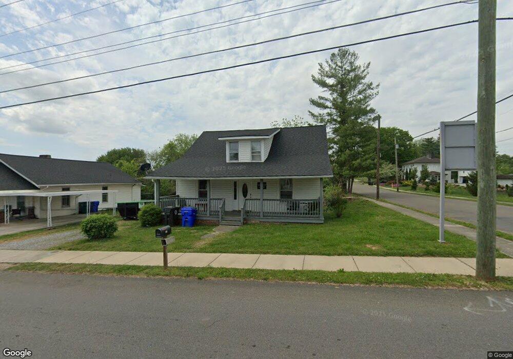
321 N High St Morristown, TN 37814
Estimated Value: $121,567 - $314,000
--
Bed
1
Bath
2,368
Sq Ft
$96/Sq Ft
Est. Value
About This Home
This home is located at 321 N High St, Morristown, TN 37814 and is currently estimated at $227,856, approximately $96 per square foot. 321 N High St is a home located in Hamblen County with nearby schools including West Elementary School, Lincoln Heights Middle School, and Morristown West High School.
Ownership History
Date
Name
Owned For
Owner Type
Purchase Details
Closed on
Sep 9, 2016
Sold by
Lakeway Management Lp
Bought by
Cherokee Associates Lp
Current Estimated Value
Purchase Details
Closed on
Oct 21, 1988
Bought by
Hyde Arthur Thomas and Hyde Deborah B
Purchase Details
Closed on
Mar 21, 1983
Bought by
Broyles James and Broyles Lillie
Purchase Details
Closed on
Feb 15, 1982
Bought by
Greene Carl R and Greene Billy R
Purchase Details
Closed on
Nov 19, 1981
Bought by
Trent Roy J and Trent Margie
Purchase Details
Closed on
Mar 6, 1981
Bought by
Turner John V and Turner Mamie L
Purchase Details
Closed on
Sep 14, 1978
Bought by
Bales Robert T and Bales Pat F
Create a Home Valuation Report for This Property
The Home Valuation Report is an in-depth analysis detailing your home's value as well as a comparison with similar homes in the area
Home Values in the Area
Average Home Value in this Area
Purchase History
| Date | Buyer | Sale Price | Title Company |
|---|---|---|---|
| Cherokee Associates Lp | -- | -- | |
| Hyde Arthur Thomas | $20,100 | -- | |
| Broyles James | $16,000 | -- | |
| Greene Carl R | $14,900 | -- | |
| Trent Roy J | $15,000 | -- | |
| Turner John V | -- | -- | |
| Bales Robert T | -- | -- |
Source: Public Records
Tax History Compared to Growth
Tax History
| Year | Tax Paid | Tax Assessment Tax Assessment Total Assessment is a certain percentage of the fair market value that is determined by local assessors to be the total taxable value of land and additions on the property. | Land | Improvement |
|---|---|---|---|---|
| 2024 | $110 | -- | -- | -- |
| 2023 | $110 | $0 | $0 | $0 |
| 2022 | $460 | $14,550 | $11,450 | $3,100 |
| 2021 | $460 | $14,550 | $11,450 | $3,100 |
| 2020 | $459 | $14,550 | $11,450 | $3,100 |
| 2019 | $458 | $13,450 | $10,800 | $2,650 |
| 2018 | $424 | $13,450 | $10,800 | $2,650 |
| 2017 | $417 | $13,450 | $10,800 | $2,650 |
| 2016 | $398 | $13,450 | $10,800 | $2,650 |
| 2015 | $370 | $13,450 | $10,800 | $2,650 |
| 2014 | -- | $13,450 | $10,800 | $2,650 |
| 2013 | -- | $13,550 | $0 | $0 |
Source: Public Records
Map
Nearby Homes
- 1002 Watercrest St
- 816 W 2nd St N
- 722 W 2nd St N
- 1211 W 6th St N
- 1530 Rayburn Dr
- 1476 Darbee Dr
- 529 N Jackson St
- 0 Mcfarland St
- 912 N Church St
- 440 S Fairmont Ave
- 837 Pauline Ave
- 1442 Darbee Dr
- 2078 Edgewater Sound Rd
- 731 Lennie Ave
- 1318 Secretariat Dr
- 900 Baird Ave
- 941 Heykoop Dr
- 1613 Cardinal Dr
- 120 E 5th North St
- 118 E 3rd St N
- 315 N High St
- 1017 W 3rd North St
- 1002 W 2nd North St
- 1008 W 2nd North St
- 1016 W 2nd North St
- 1025 W 3rd North St
- 932 W 2nd St N
- 932 W 2nd North St
- 1022 W 2nd North St
- 925 W 3rd North St
- 1028 W 3rd North St
- 1024 W 2nd St N
- 1028 W 3rd St N
- 1024 W 2nd North St
- 1024 W 2nd North St
- 926 W 2nd North St
- 919 W 3rd North St
- 1032 W 2nd North St
- 919 3rd St N
- 1009 W 2nd North St