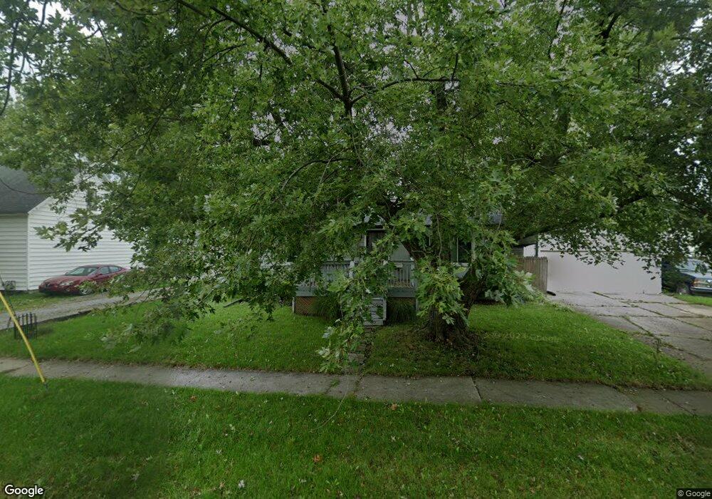
321 N Rosedale Ave Lima, OH 45805
Central Lima NeighborhoodEstimated Value: $93,391 - $118,000
3
Beds
1
Bath
864
Sq Ft
$116/Sq Ft
Est. Value
About This Home
This home is located at 321 N Rosedale Ave, Lima, OH 45805 and is currently estimated at $100,348, approximately $116 per square foot. 321 N Rosedale Ave is a home located in Allen County with nearby schools including Heritage Elementary School, Lima West Middle School, and Lima North Middle School.
Ownership History
Date
Name
Owned For
Owner Type
Purchase Details
Closed on
Jun 7, 2013
Sold by
Deutsche Bank National Trust Co
Bought by
Ingram Dana M
Current Estimated Value
Purchase Details
Closed on
Dec 4, 2012
Sold by
Anderson Donald G
Bought by
Deutsche Bank National Trust Co
Purchase Details
Closed on
Jun 27, 2006
Sold by
Reed Frederick F and Risser Susan
Bought by
Anderson Donald G and Anderson Eileen C
Home Financials for this Owner
Home Financials are based on the most recent Mortgage that was taken out on this home.
Original Mortgage
$64,550
Interest Rate
8.35%
Mortgage Type
Assumption
Purchase Details
Closed on
May 26, 2000
Sold by
Tenney Charles F
Bought by
Risser Frederick F and Risser Susan
Purchase Details
Closed on
May 30, 1997
Sold by
Est Raymond Beasley
Bought by
Tenney Charles
Home Financials for this Owner
Home Financials are based on the most recent Mortgage that was taken out on this home.
Original Mortgage
$23,400
Interest Rate
8.27%
Mortgage Type
New Conventional
Purchase Details
Closed on
Jan 1, 1990
Bought by
Beasley Raymond
Create a Home Valuation Report for This Property
The Home Valuation Report is an in-depth analysis detailing your home's value as well as a comparison with similar homes in the area
Home Values in the Area
Average Home Value in this Area
Purchase History
| Date | Buyer | Sale Price | Title Company |
|---|---|---|---|
| Ingram Dana M | $12,500 | None Available | |
| Deutsche Bank National Trust Co | $30,000 | None Available | |
| Anderson Donald G | $64,600 | Northern United Title Servic | |
| Risser Frederick F | $32,500 | -- | |
| Tenney Charles | $25,000 | -- | |
| Beasley Raymond | -- | -- |
Source: Public Records
Mortgage History
| Date | Status | Borrower | Loan Amount |
|---|---|---|---|
| Previous Owner | Anderson Donald G | $64,550 | |
| Previous Owner | Tenney Charles | $23,400 |
Source: Public Records
Tax History Compared to Growth
Tax History
| Year | Tax Paid | Tax Assessment Tax Assessment Total Assessment is a certain percentage of the fair market value that is determined by local assessors to be the total taxable value of land and additions on the property. | Land | Improvement |
|---|---|---|---|---|
| 2024 | $923 | $24,190 | $4,760 | $19,430 |
| 2023 | $857 | $19,360 | $3,820 | $15,540 |
| 2022 | $860 | $19,360 | $3,820 | $15,540 |
| 2021 | $908 | $19,360 | $3,820 | $15,540 |
| 2020 | $962 | $18,310 | $3,570 | $14,740 |
| 2019 | $962 | $18,310 | $3,570 | $14,740 |
| 2018 | $936 | $18,310 | $3,570 | $14,740 |
| 2017 | $929 | $17,570 | $3,570 | $14,000 |
| 2016 | $936 | $17,570 | $3,570 | $14,000 |
| 2015 | $930 | $17,570 | $3,570 | $14,000 |
| 2014 | $930 | $17,260 | $3,850 | $13,410 |
| 2013 | $908 | $17,260 | $3,850 | $13,410 |
Source: Public Records
Map
Nearby Homes
- 1517 Allentown Rd
- 120 S Woodlawn Ave
- 1206 Rice Ave
- 1703 W Wayne St
- 1459 W Market St
- 621 Fairfield Dr
- 1120 Richie Ave
- 1036 W High St
- 233 S Kenilworth Ave
- 1630 W Market St
- 109 N Pears Ave
- 1023 Leland Ave
- 1524 Wendell Ave
- 618 Woodward Ave
- 427 S Kenilworth Ave
- 1912 Hillcrest Dr
- 1719 Latham Ave
- 2100 University Blvd
- 1753 Leland Ave
- 343 S Charles St